Tag Archives: historic

The Dakota – A History of the World’s Best-Known Apartment Building

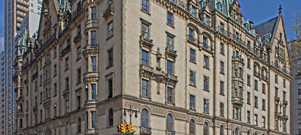
The Dakota – and indeed NYC apartment life – is beautifully illuminated by Andrew Alpern’s new “History of the World’s Best-Known Apartment Building.” The noted architectural historian presents the most comprehensive history of The Dakota imaginable! Mr. Alpern documents the building, its builder (and family!), the architect, the neighborhood, the architectural and historical context, and even the Dakota’s residents. Fascinating reading that illuminates not only The Dakota, but also the world of apartment living in New York City.

I’m deeply honored by Mr. Alpern’s use of my photography (from the Dakota Apartments gallery) in this volume.
Governors Island

Governors Island is open only during the summer on Fridays, Saturdays, Sundays, and holiday Mondays. Free ferries run approximately every half hour from The Battery in Manhattan and every ten minutes from Brooklyn Bridge Park in Brooklyn. Visit The Trust for Governor’s Island for the 2015 schedule.

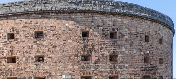
The island has two forts – Fort Jay and Castle Williams – that date back to 1806. (Castle Williams, which had been closed for renovations, has been reopened.) Other structures were added by the U.S. Army over the years; the island ended its military career as First Army HQ in 1966, when Governors Island was turned over to the Coast Guard. The Coast Guard moved out in 1996; in 2001 the forts (and the land between them) were designated a National Monument. The federal government sold the island to the City and State of New York in 2003; “Open Access Weekends” began in 2005. Currently, Governors Island Alliance, the Trust for Governors Island, and the National Park Service are expanding the island’s park facilities and programs.

Google Map

High Line Park

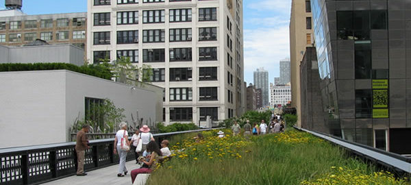
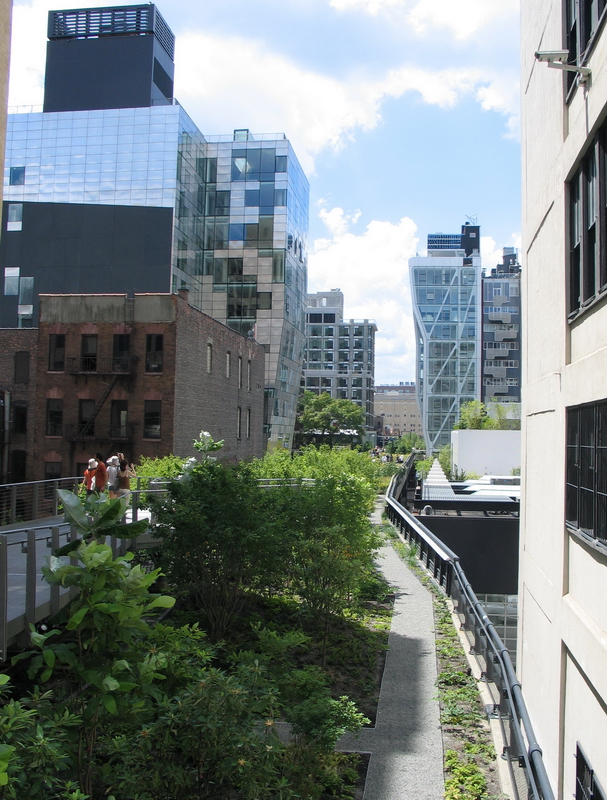
New York “Parkitecture”: An abandoned elevated freight rail line on the Lower West Side has a new life as a one-of-a-kind elevated green space. The park winds from 34th Street near 12th Avenue to Gansevoort Street and Washington Street. (The northernmost extension opened in 2014.) You can enter at either end or at several stairways in between. Visit http://www.thehighline.org/ for more information.

Besides being an enjoyable destination unto itself, High Line is an excellent vantage point for spotting architectural landmarks of Chelsea, West Chelsea and Gansevoort Historic Districts.

Google Map

Brooklyn Heights

Brooklyn Heights (and neighboring Fulton Ferry and “DUMBO” [Down Under Manhattan Bridge Underpass]) are a triple treat.

They’re amazing concentrations of gorgeous and historic architecture, protected by New York City landmark status and (mostly) lovingly maintained. Down every block and around every corner you’ll delight at styles and details straight from the 1800s.

Secondly, these neighborhoods have spectacular views of downtown Manhattan. The Heights’ Promenade and Brooklyn Bridge Park are directly opposite the Financial District – itself filled with landmarks.

Thirdly, the Promenade and Park are great places to just hang out – enjoy fresh air, scenery and sunshine in a peaceful setting. Kid friendly, too, with the restored carousel now open in Brooklyn Bridge Park.

Google Map

New York City Neighborhoods

New York City has five boroughs; each borough has several subdivisions and within subdivisions are the neighborhoods. Neighborhood boundaries are not always clearly defined, so a particular block might be considered part of two neighborhoods. Many New York City Neighborhoods originally reflected ethnic concentrations – Chinatown and Little Italy being the best-known examples. Other neighborhoods were named by their original (or early) owners, such as Chelsea. But some “neighborhoods” are marketing inventions, designed to enhance the image and desirability of real estate.

“AIA Guide to New York City” divides the city into 31 sections comprising 204 neighborhoods or precincts. Rather than re-invent the wheel, we’ll try to stick to that organization in NewYorkitecture.com. Just be aware that the neighborhoods named in this site won’t always agree with your favorite map or guidebook. (Of course if you make “AIA Guide to New York City” your favorite guidebook, problem solved!)

MANHATTAN

Lower Manhattan

  • Financial District
  • Water Street Corridor
  • South Street Seaport
  • Broadway-Nassau
  • Battery Park City
  • World Trade Center Area
  • Tribeca/Lower West Side
  • Civic Center
  • Chinatown/Little Italy
  • Lower East Side
  • SoHo

The Villages

  • Greenwich Village
  • Washington Square and Environs
  • Astor Place, NoHo and Environs
  • West Village
  • South Village/West SoHo/The Glass Box District
  • East Village

Midtown Manhattan

  • Chelsea
  • Gansevoort Market
  • The High Line and West Chelsea
  • Hudson River Park
  • Ladies Mile
  • Union Square to Gramercy Park
  • Stuyvesant Square and North
  • Rose Hill
  • Kips Bay
  • Madison Square to Bryant Park
  • Madison Square to the Javits Center
  • Murray Hill
  • Clinton
  • Times Square to Columbus Circle
  • Grand Central/Park Avenue
  • The Fifth Avenue Swath
  • United Nations/Turtle Bay

Upper West Side

  • Lincoln Center
  • Riverside Drive/West End Avenue
  • Broadway and Environs
  • Central Park West/The Parks Blocks
  • West Side Urban Renewal Area
  • Manhattan Valley

Central Park

Upper East Side

  • The Gold Coast
  • Metropolitan Museum Vicinity
  • Carnegie Hill and Beyond
  • East of Eden
  • Hospitalia
  • Yorkville
  • Gracie Square and Environs

The Heights and the Harlems

  • Morningside Heights
  • Manhattanville
  • Hamilton Heights
  • Harlem
  • East Harlem

Upper Manhattan

  • Washington Heights

BROOKLYN

West Central Brooklyn

  • Civic Center/Downtown Brooklyn
  • Brooklyn Heights
  • Fulton Ferry
  • DUMBO
  • Vinegar Hill
  • The Navy Yard
  • Cobble Hill
  • Carroll Gardens
  • Gowanus
  • Red Hook
  • Boerum Hill
  • Fort Greene
  • Clinton Hill
  • Park Slope
  • Prospect Heights
  • Grand Army Plaza
  • Prospect Park
  • Institute Park
  • Bedford-Stuyvesant
  • Crown Heights

Northern Brooklyn

  • Bushwick-Ridgewood
  • Williamsburg
  • East Williamsburg
  • Greenpoint

Central Brooklyn

  • Central Flatbush
  • Prospect Park South
  • Ditmas Park
  • East Flatbush/Rugby
  • Windsor Terrace/Parkville

Southwestern Brooklyn

  • Sunset Park and Environs
  • Bay Ridge/Forth Hamilton/Dyker Heights
  • Bensonhurst/Bath Beach

Southern Brooklyn

  • Gravesend
  • Sheepshead Bay
  • Gerritsen Beach
  • Marine Park/Manhattan and Brighton Beaches
  • Coney Island

Southeastern Brooklyn

  • Midwood
  • Flatlands
  • Canarsie

Eastern Brooklyn

  • Highland Park/Cypress Hills
  • Brownsville
  • East New York
  • New Lots
  • Spring Creek

QUEENS

Western Queens

  • Hallets Point
  • Ravenswood
  • Astoria
  • Ditmars/Steinway
  • South Astoria
  • Sunnyside
  • Woodside
  • Hunters Point
  • Queens West
  • Long Island City/Blissville

Central Queens

  • North Beach
  • Jackson Heights
  • Corona
  • Flushing Meadows-Corona Park
  • Elmhurst
  • Rego Park/Maspeth
  • Ridgewood
  • Middle Village/Glendale
  • Forest Hills
  • Kew Gardens

Northeastern Queens

  • College Point
  • Malba
  • Whitestone
  • Beechhurst
  • Flushing
  • Murray Hill/Broadway-Flushing/Auburndale
  • Fresh Meadows
  • Bayside

Southern Queens

  • Woodhaven
  • Richmond Hill
  • Jamaica
  • Hollis/St. Albans/South Ozone Park

Far Queens

  • Douglaston Manor
  • Douglaston/Glen Oaks/Creedmoor
  • Queens Village/Canbria Heights/Laurelton/JFK Airport
  • Howard Beach
  • Far Rockaway
  • Bayswater/Arverne
  • Broad Channel
  • Riis Park

THE BRONX

Southern Bronx

  • Mott Haven
  • Port Morris/Melrose
  • The Hub
  • Morrisania
  • Crotona Park
  • Longwood
  • Hunts Point

Central Bronx

  • Twin Parks West/Tremont
  • Fordham University
  • Belmont
  • West Farms
  • Bronx Zoo
  • New York Botanical Garden

Western Bronx

  • The Grand Concourse
  • Highbridge Heights
  • University Heights
  • Kingsbridge Heights
  • Kingsbridge/Marble Hill (Manhattan)/Bedford Park
  • Norwood

Riverdale

  • Sputen Duyvil
  • Riverdale
  • North Riverdale
  • Fieldston
  • Van Cortlandt Park

Eastern Bronx

  • Soundview/Classon Point
  • Unionport/Van Nest
  • Parkchester/Westchester Square
  • Morris Park
  • Pelham Parkway Neighborhood
  • Bronxdale/Throgs Neck
  • Pelham Bay
  • City Island

Northern Bronx

  • Williamsbridge
  • Baychester/Eastchester
  • Wakefield

STATEN ISLAND

Northern Staten Island

  • St. George
  • New Brighton
  • Livingston
  • West Brighton
  • Port Richmond
  • Mariners Harbor

Eastern Staten Island

  • Tompkinsville/Stapleton
  • Stapleton Heights
  • Clifton
  • Rosebank
  • Arrochar

Central Staten Island

  • Westerleigh
  • Sunnyside
  • Willowbrook
  • Grymes Hill
  • Emerson Hill/Dongan Hills/Concord/Todt Hill
  • Egbertville
  • New Dorp
  • Richmond Town

Southern Staten Island

  • Eltingville
  • Great Kills/Rossville
  • Woodrow
  • Charleston
  • Richmond Valley/Tottenville
  • Mount Loretto/Princes Bay
  • Annadale/Huguenot

THE OTHER ISLANDS

  • Liberty Island/Ellis Island
  • Governors Island
  • Roosevelt Island
  • Wards Island/Randalls Island/North and South Brother Islands

Astor Place and Vicinity

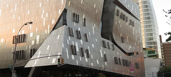
The Cooper Union Foundation Building has New York City and National landmark status, as the first building in the U.S. to use steel beams. Across the street on Cooper Square is the equally striking Arthur Nerken School of Engineering. Next door is sail-shaped Cooper Square Hotel.

It seems that every block in the area has a landmark – or future landmark – building. Hey, even the local K-Mart is in a landmark building, the former Wanamaker Department Store Annex.

Here’s a brief tour to whet your appetite.

Google Map

East River Bridges

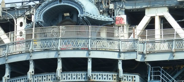
New York has more than 75 bridges connecting the boroughs to each other and to New Jersey. It’s fascinating how so many different engineers came up with so many different solutions for the same problem: How to cross a river. Here are views of some of the principal East River bridges.

To come: Bronx-Whitestone, Throggs Neck and Rikers Island bridges.

Google Map