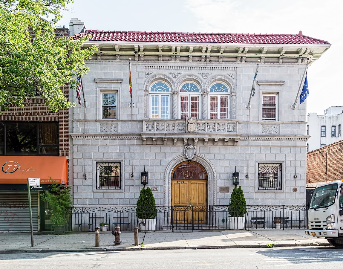
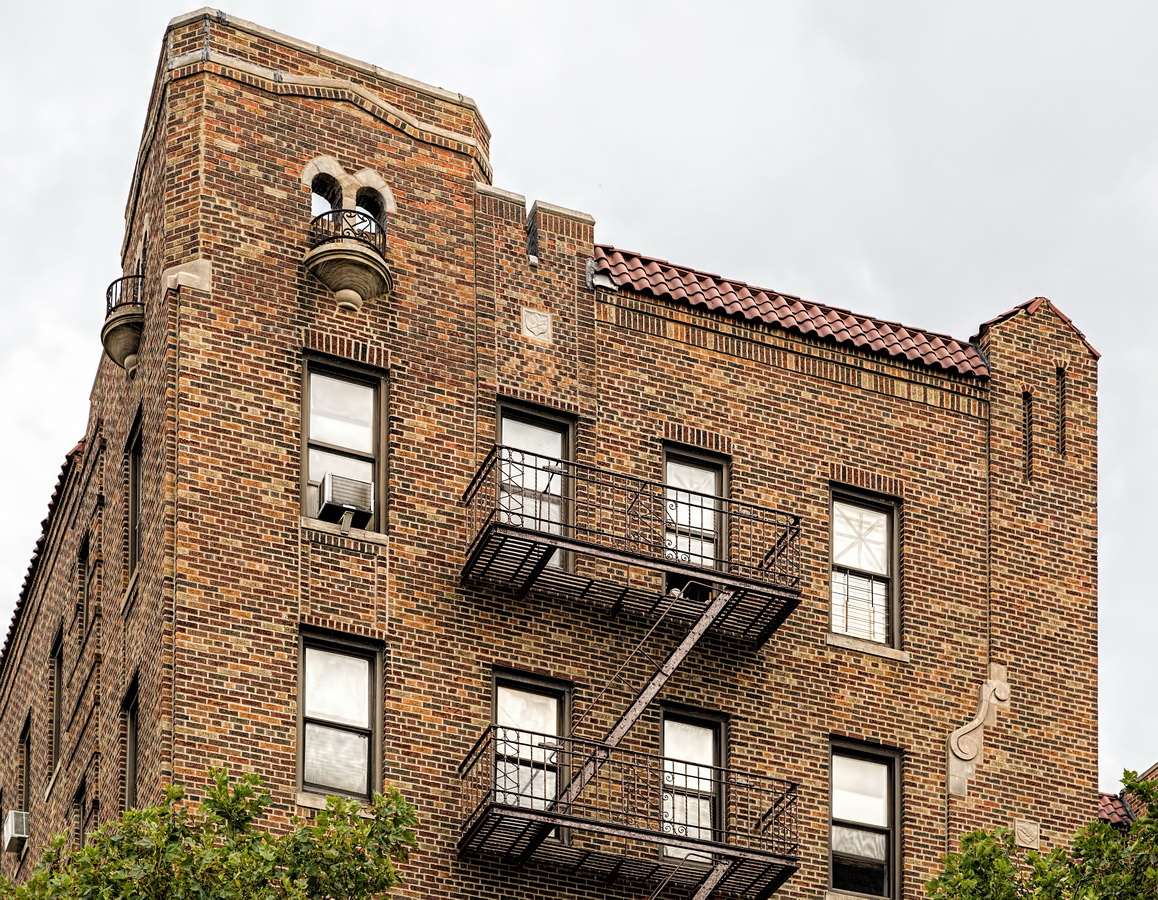
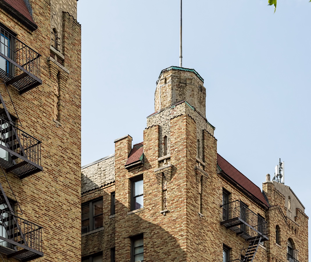
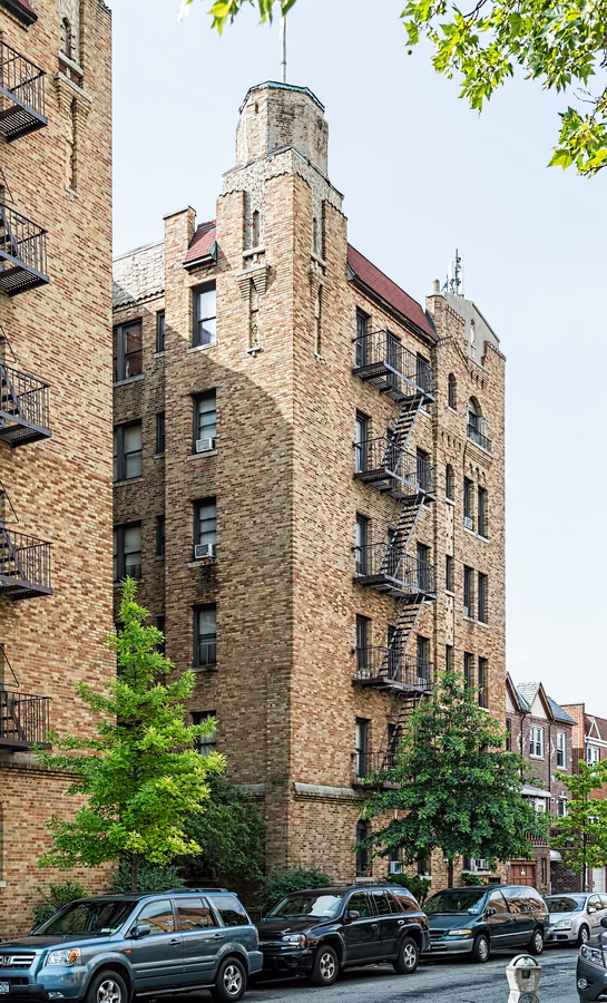
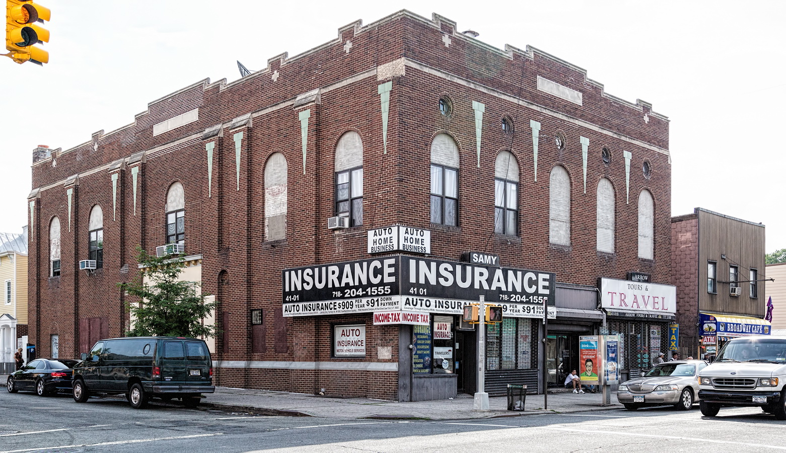
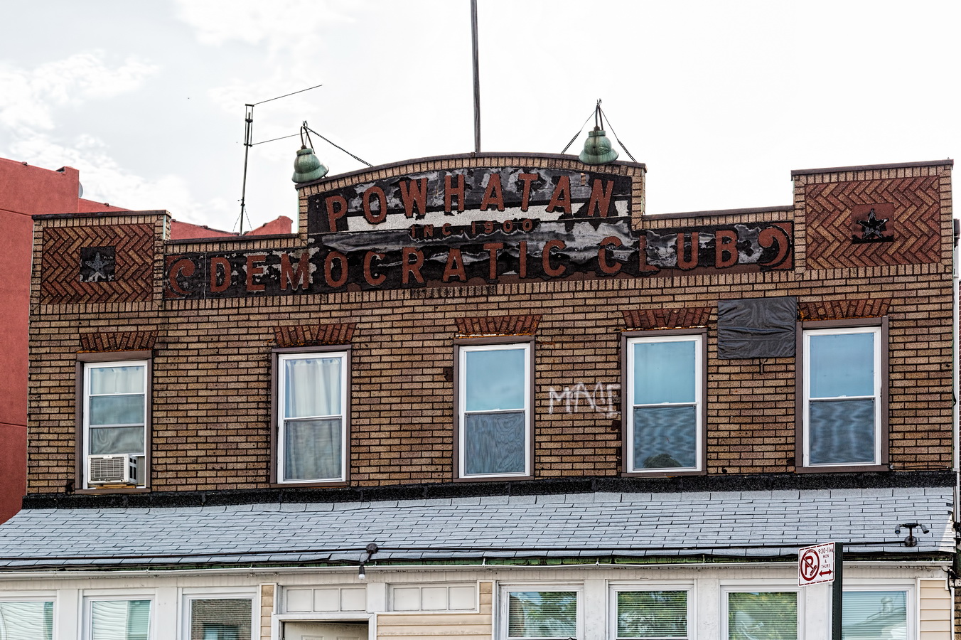
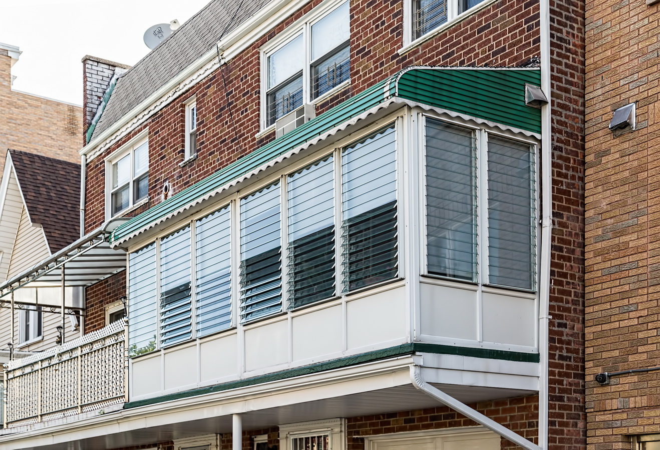
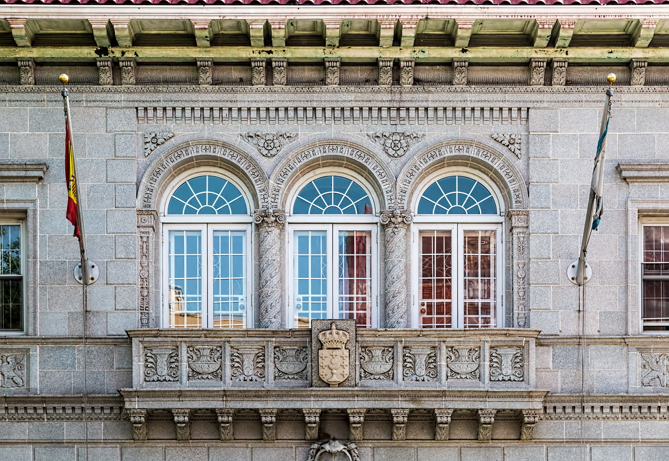
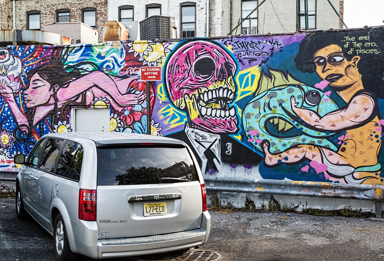
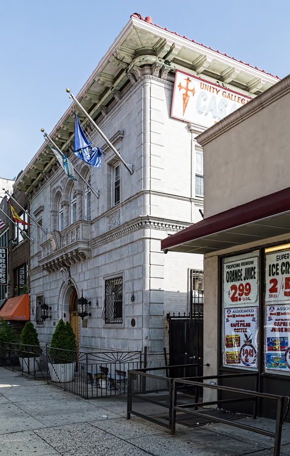
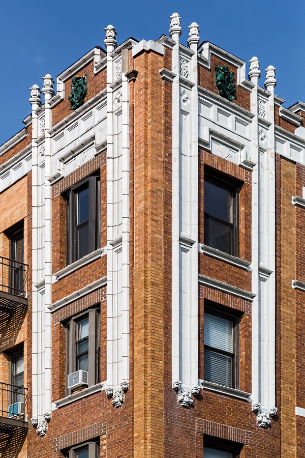
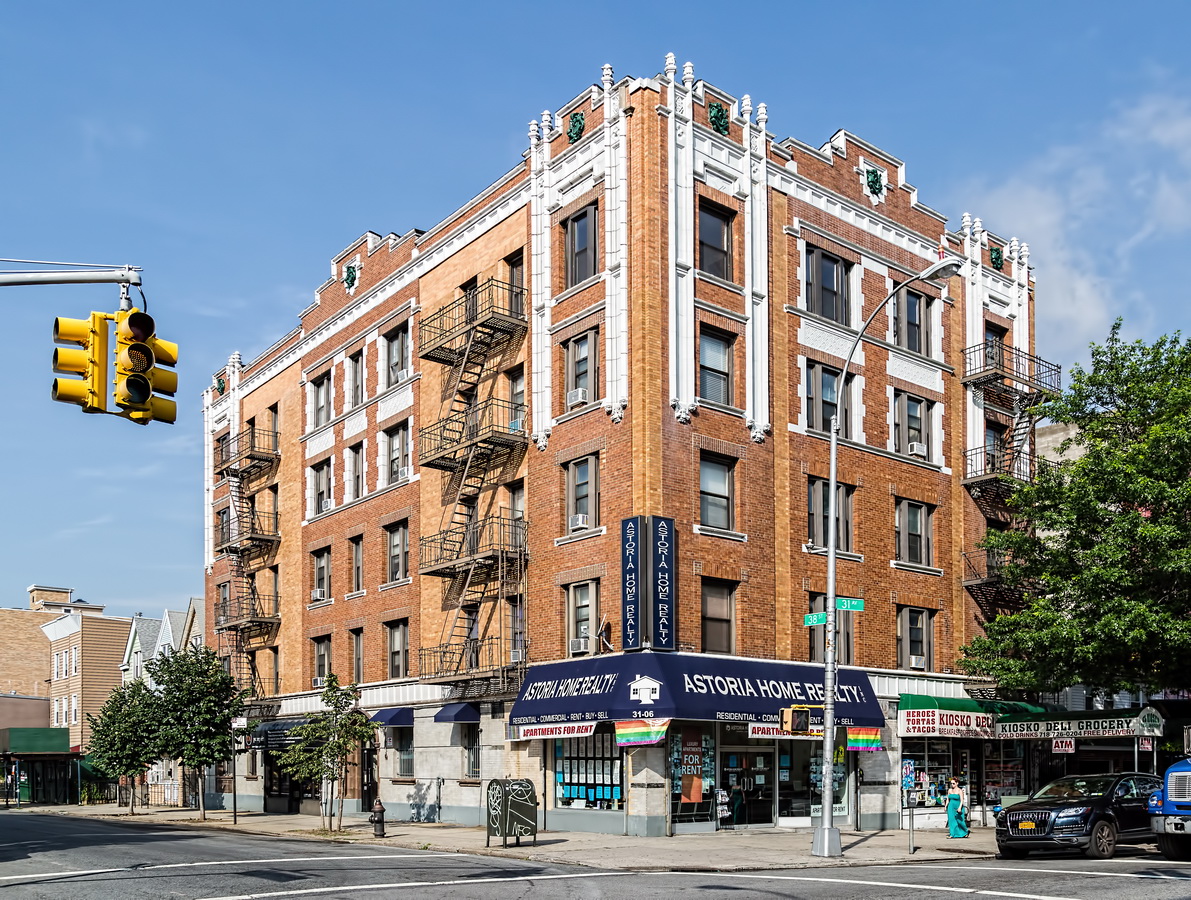
This post started as a simple collection of interesting architecture in my neighborhood, Long Island City / Astoria. Then I found a couple of oddities that roused my curiosity.
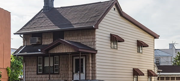
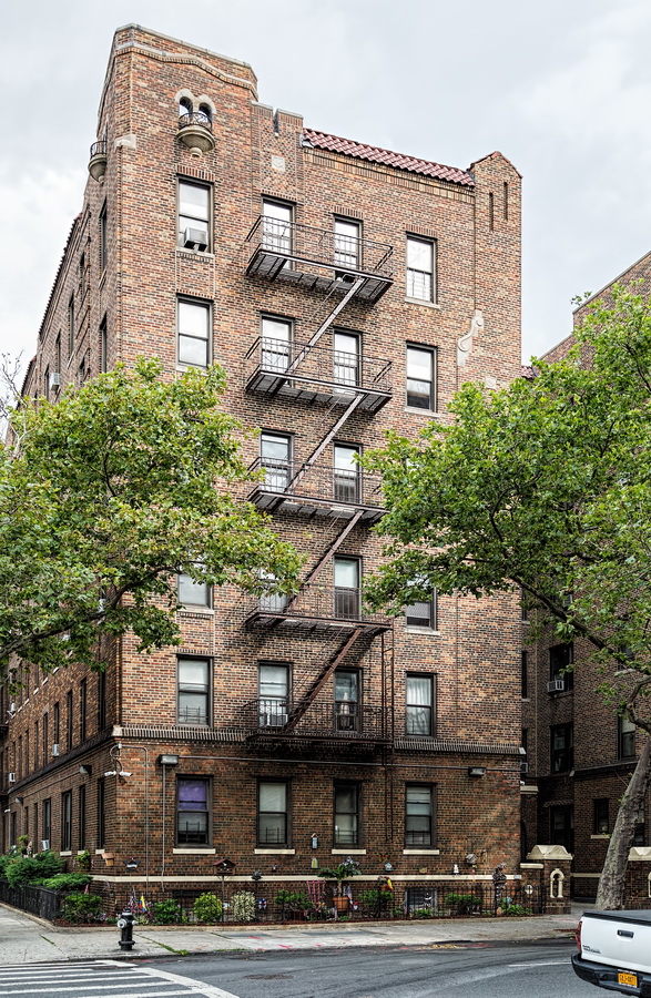
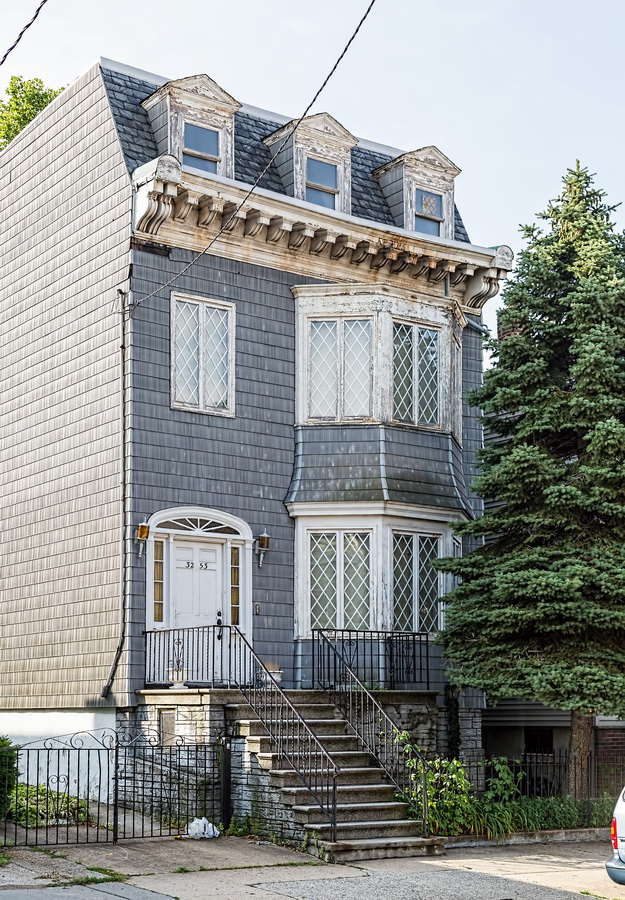
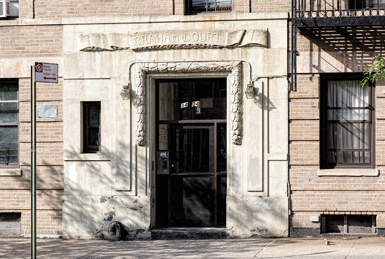
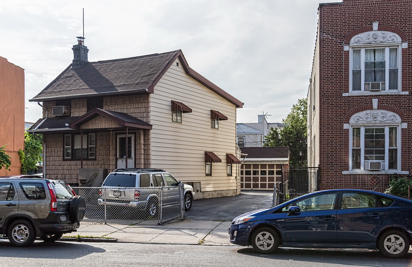
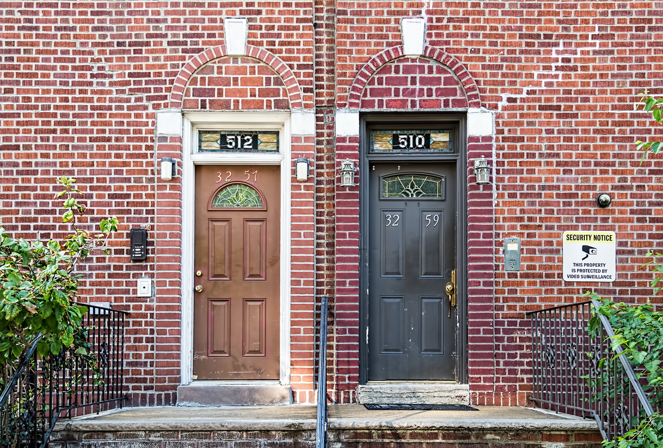
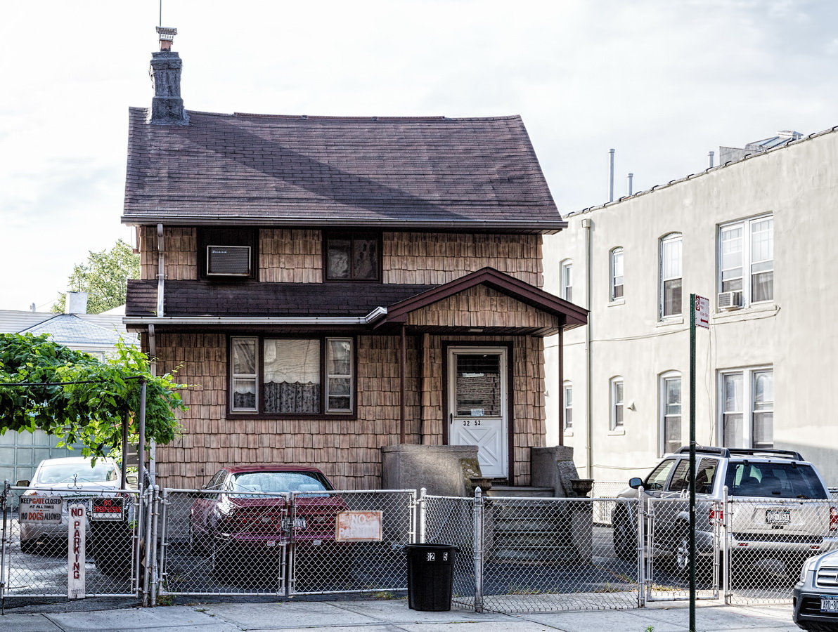
On the east side of 33rd Street between 34th Avenue and Broadway I found an old two-story wood-frame house, clad in cedar shakes, built diagonally across the lot. That was odd in itself, but right next to it were a pair of low-rise brick apartment buildings with two sets of house numbers. A resident of the block told me that the oddly-angled house was originally a farmhouse, built before there were streets in the area. He had no explanation for the double-numbered buildings.
According to the online New York City Map, the “farmhouse” 32-53 33rd Street was built in 1901. So I looked online for 1900s maps of Long Island City. I found maps – but the street names were all different. Ultimately I found the odd-angled house on every map going back to 1865. It was in what appeared to be undeveloped land (a farm?).
Now, for the mystery house numbers. The street names changed over the years. Today’s 33rd Street was originally Rapelje Avenue and later Fourth Avenue. As it happens, Queens renamed most of its streets between 1915 and 1926, assigning new house numbers at the same time. In 1925, 510 and 512 Fourth Avenue became 32-59 and 32-57 33rd Street, respectively.
As anyone who has driven across Queens can tell you, the borough’s streets are a mess! Streets, avenues, drives, lanes, roads, and terraces meet and cross at odd angles, as if planned by someone with right-angle phobia. Only history provides an explanation. What we now call Queens was originally a collection of 60 villages, each with its own street plan more or less parallel with the nearest body of water (as waterfront property was first to be developed). As the villages expanded their streets began to merge – at odd angles.*
That led to other problems: Streets abruptly changed names at village borders. And there were duplicate names – 10 “Main Street” thoroughfares, and about 30 named for President Washington.
In 1911 the borough created a master plan for a numbered street system – just as Manhattan had 100 years earlier. The full story is well told at Bringing Order Out of Chaos in Street Naming and House Numbering.
If you’re curious about a street’s former name(s), see Queens Street Names.
Historic Map Works is a good source of old maps, or you could just do a Google image search.
The old street names live on in the names of old buildings, businesses – and the subway system. The G, N/Q and 7 lines still have platform signs such as “36th Street – Washington” recalling names that expired a century ago.
* I call this the ice cube theory of street planning. Like water in an ice cube tray, the structure solidifies at its edges first, crystallizing inwards.
Recommended Reading
- New York City Map
- SteveMorse.org Queens Street Names
- Bringing Order Out of Chaos in Street Naming and House Numbering
- Historic Map Works – Queens
- Google image search: historical maps queens new york
