Tag Archives: west side

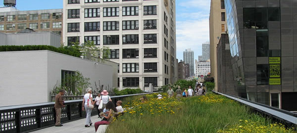
High Line Park

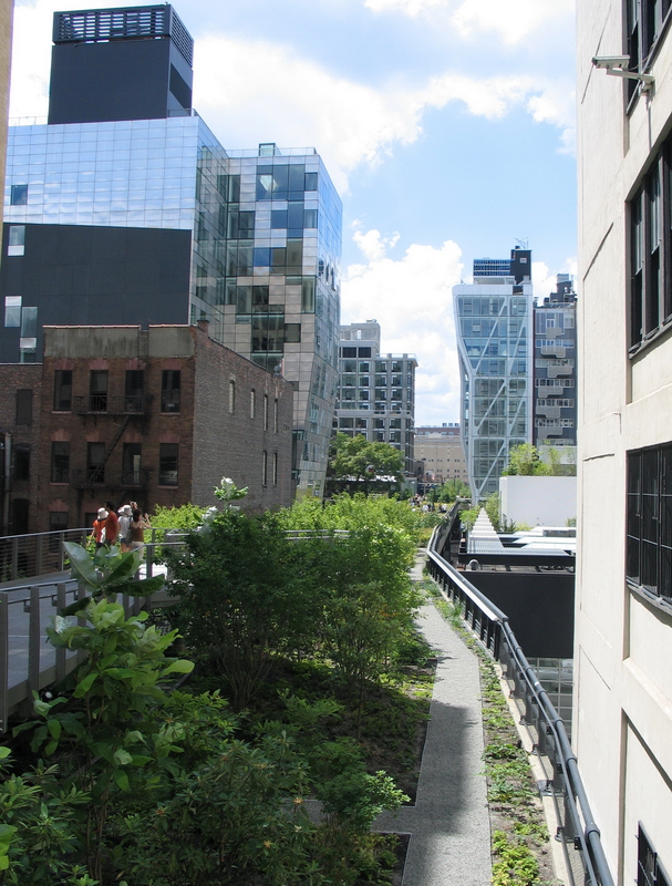
New York “Parkitecture”: An abandoned elevated freight rail line on the Lower West Side has a new life as a one-of-a-kind elevated green space. The park winds from 34th Street near 12th Avenue to Gansevoort Street and Washington Street. (The northernmost extension opened in 2014.) You can enter at either end or at several stairways in between. Visit http://www.thehighline.org/ for more information.

Besides being an enjoyable destination unto itself, High Line is an excellent vantage point for spotting architectural landmarks of Chelsea, West Chelsea and Gansevoort Historic Districts.
Google Map

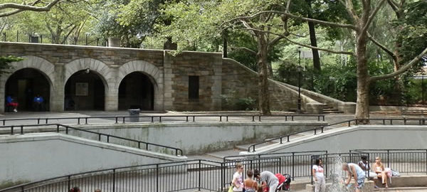
Riverside Park

Riverside Park is another creation of Frederick Law Olmsted and Calvert Vaux – the powerhouse team who also designed Central Park and Prospect Park.

Riverside Park extends from 72nd Street to 158th Street along the Hudson River. It was built in 1875-1910; Robert Moses expanded and enhanced the park during the 1930s – adding the Henry Hudson parkway and covering up the former New York Central tracks, which had cut off access to much of the park. In the 1990s, Riverside Park South was created over the former Penn Central rail yards, in a Donald Trump-led development. (This photo gallery covers Riverside park’s main section, 72nd-125th Street.)

More information is available at the Parks Department and Riverside Park Fund sites: www.nycgovparks.org and www.riversideparkfund.org/.

Google Map

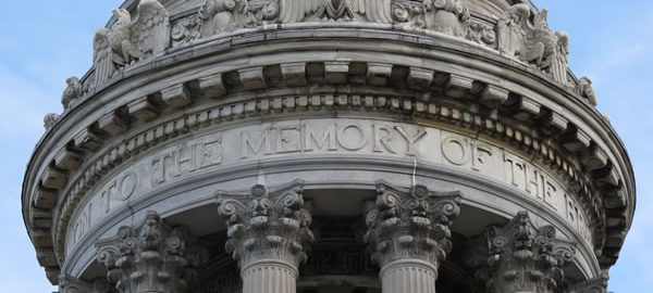
Riverside Drive

Riverside Drive was designed by Frederick Law Olmsted – part of the package with Riverside Park. As part of the park’s scheme, the route is scenic – full of curves, dips and rises – not straight as the city’s grid pattern would dictate. The buildings along Riverside Drive try to live up to the scenic expectation; most were built in the era when lavish decoration and detailing were fashionable.

Riverside Drive extends from West 72nd Street to 153rd Street; this photo gallery covers the area up to 123rd Street.

Google Map