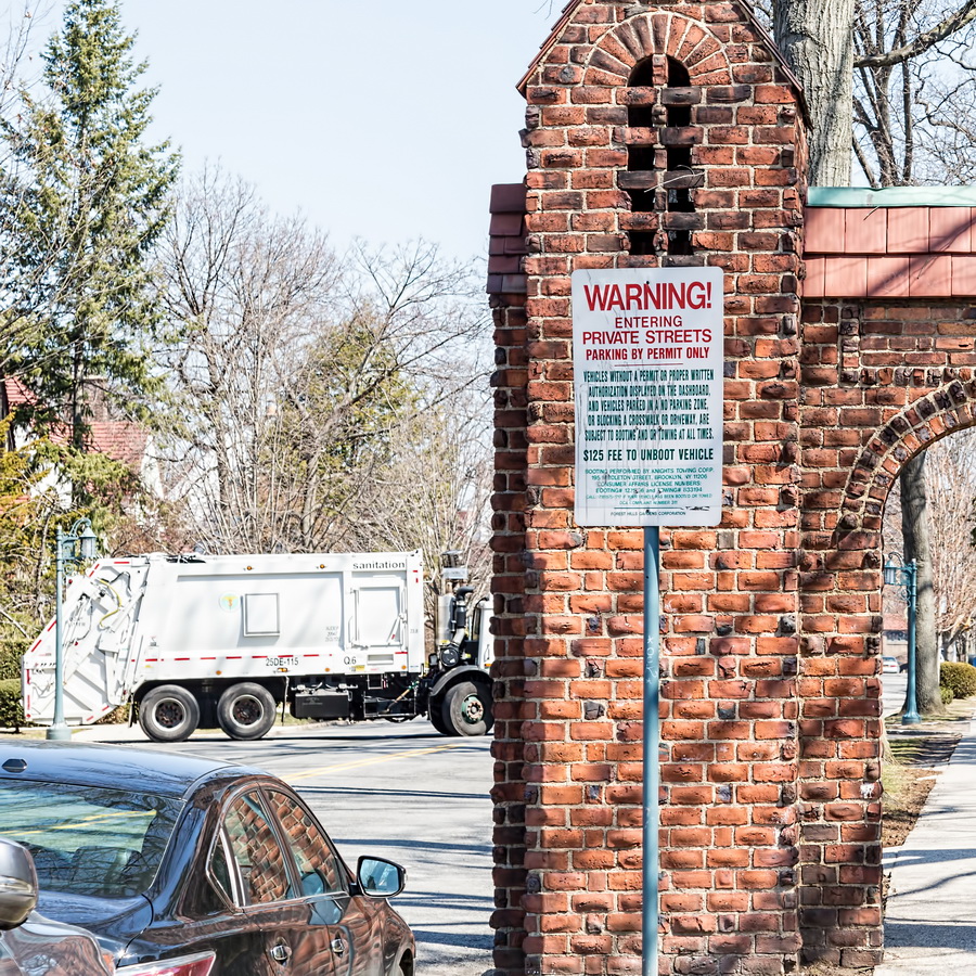
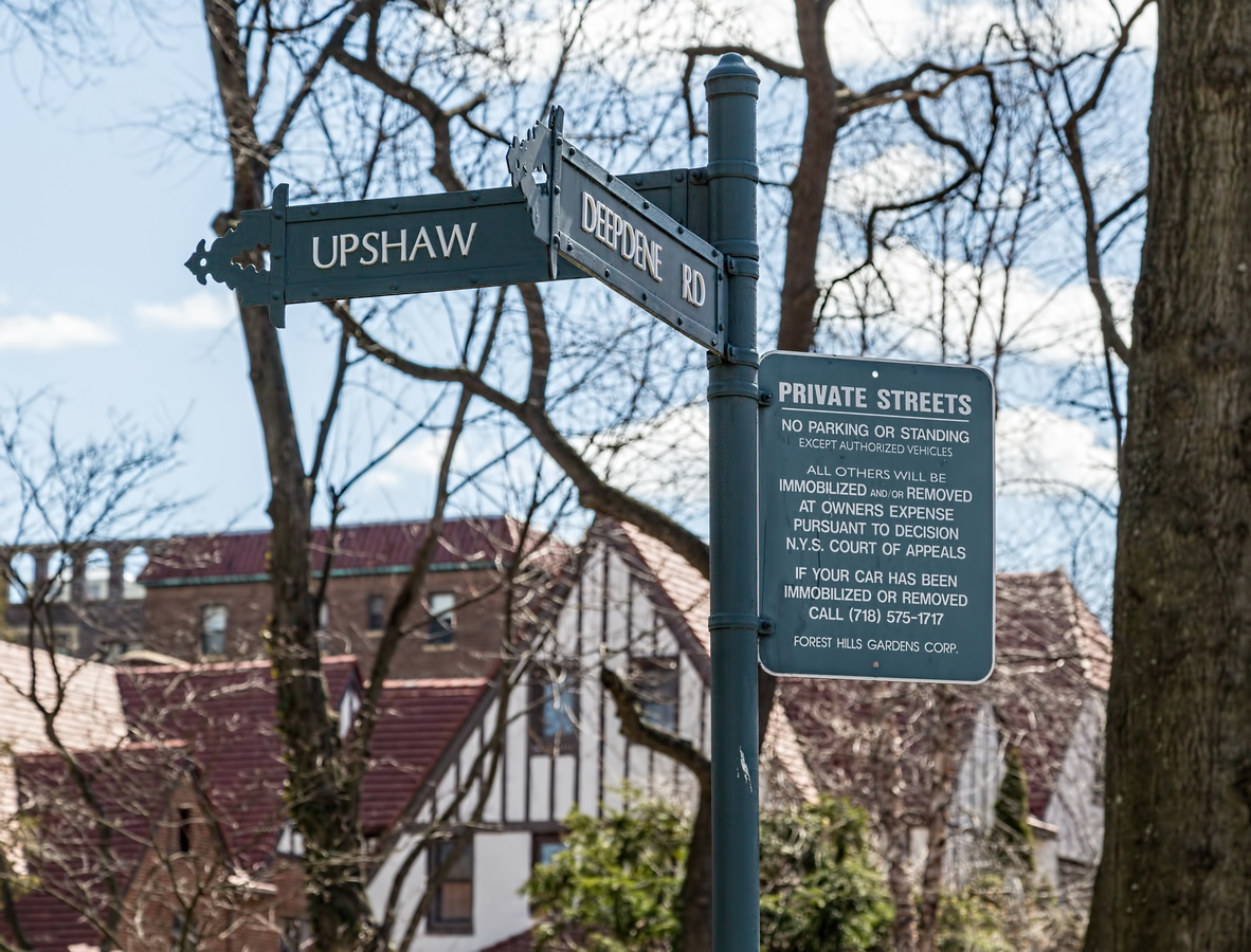
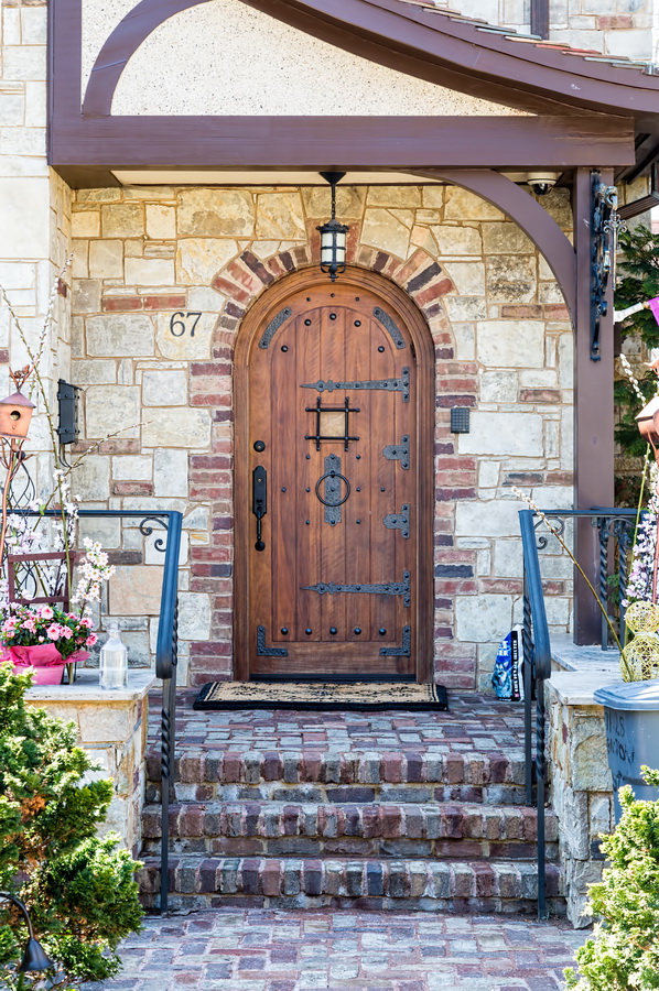
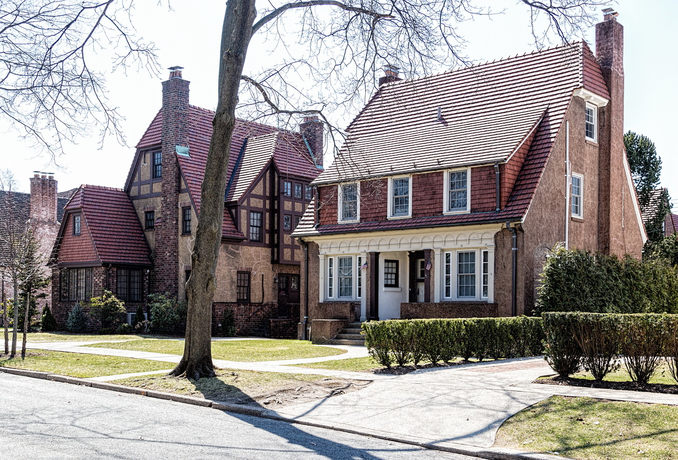
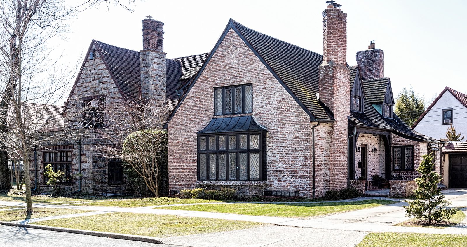
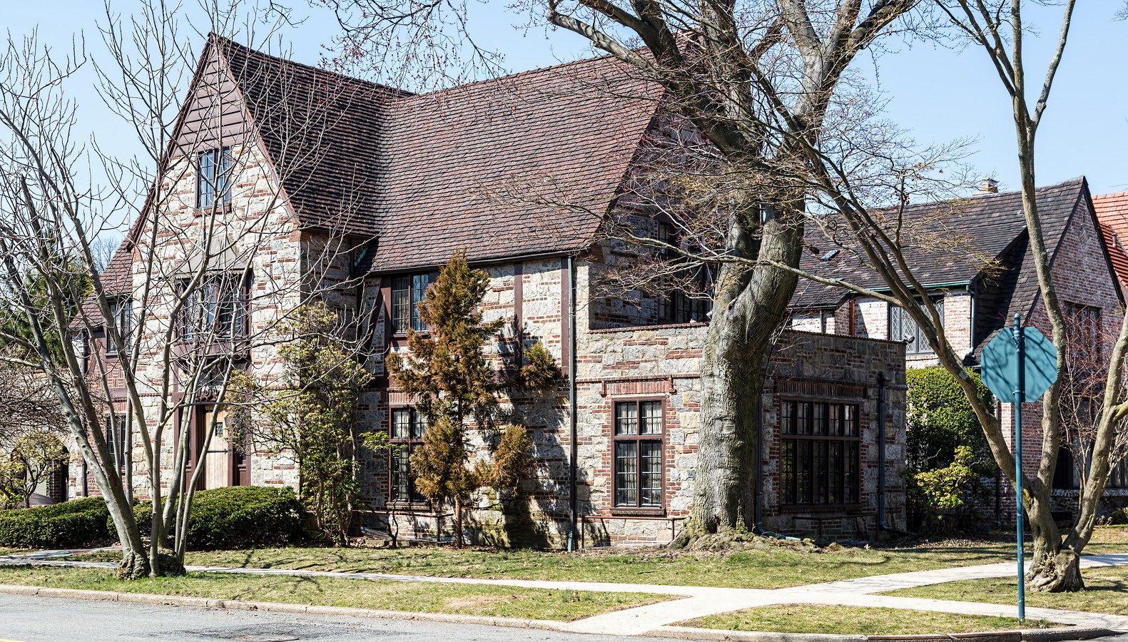
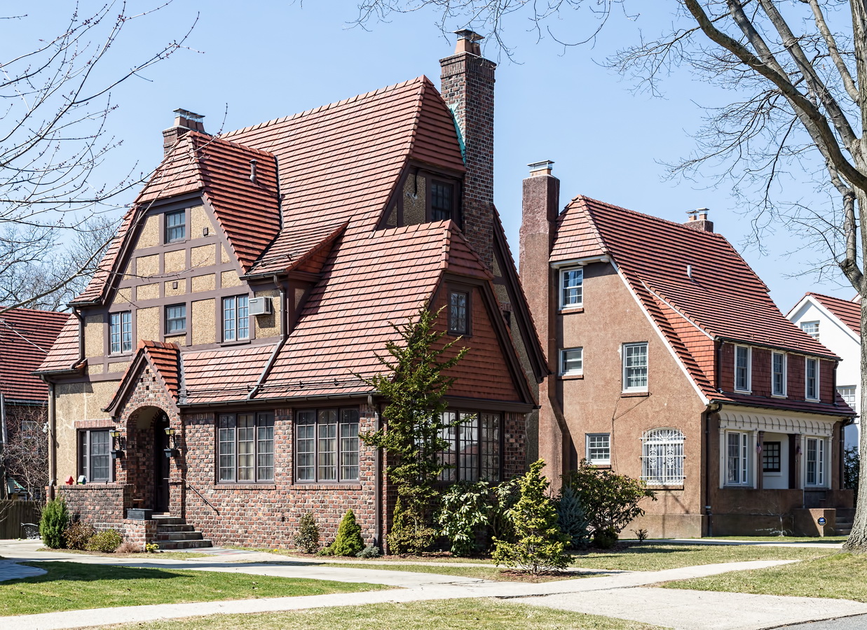
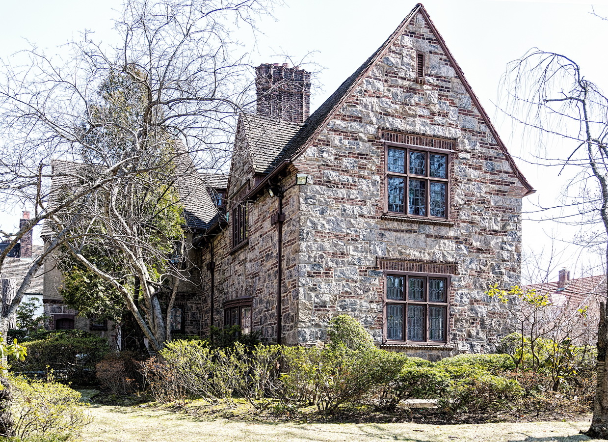
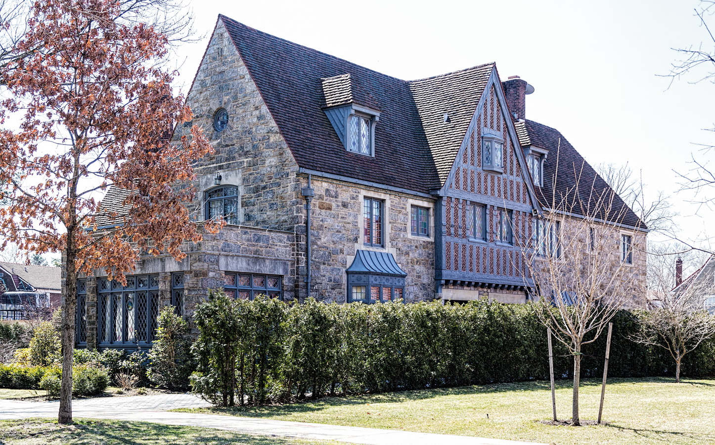
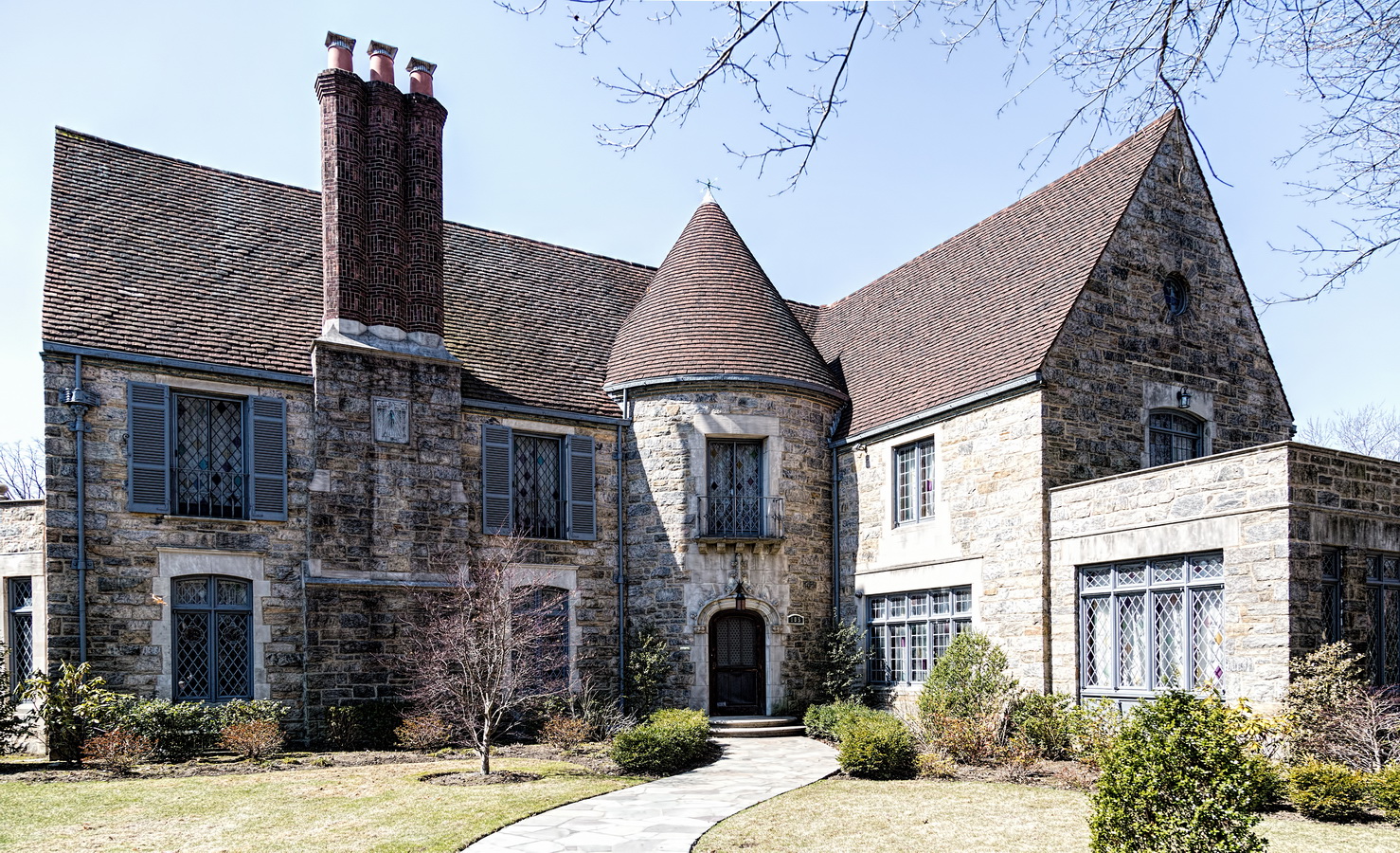
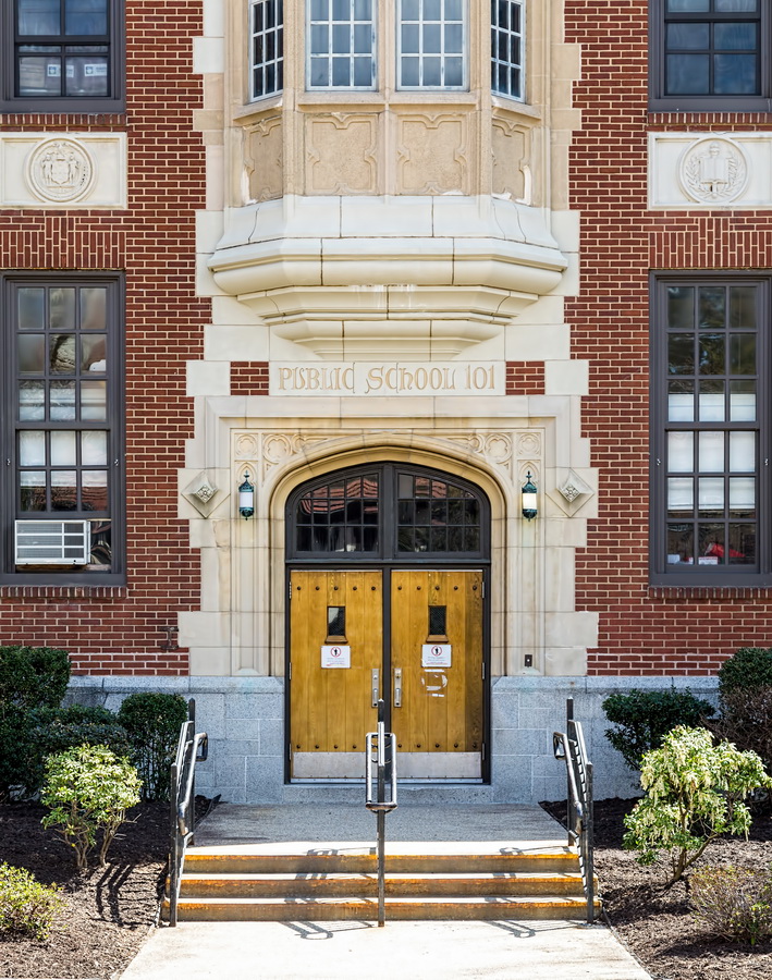
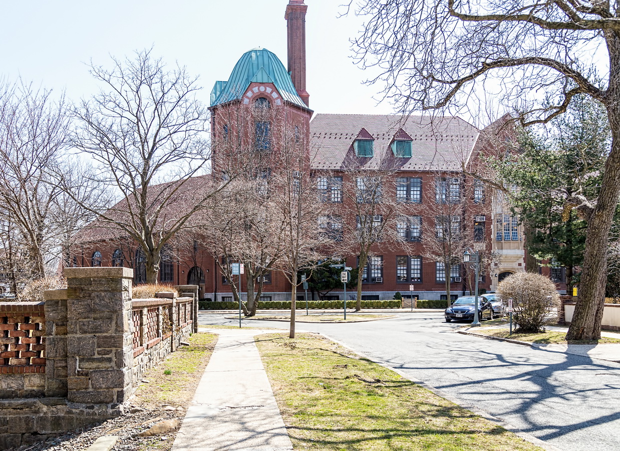
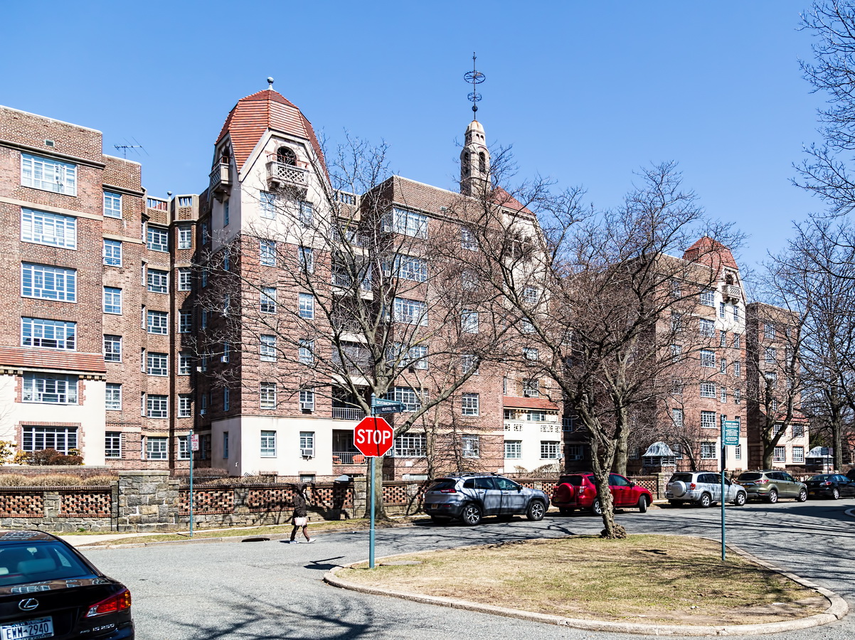
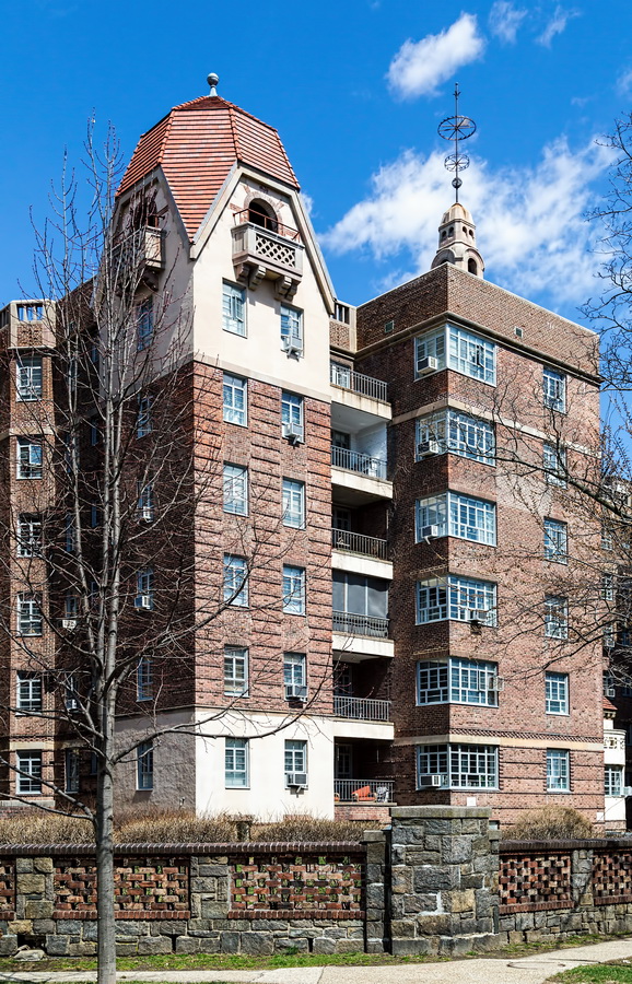
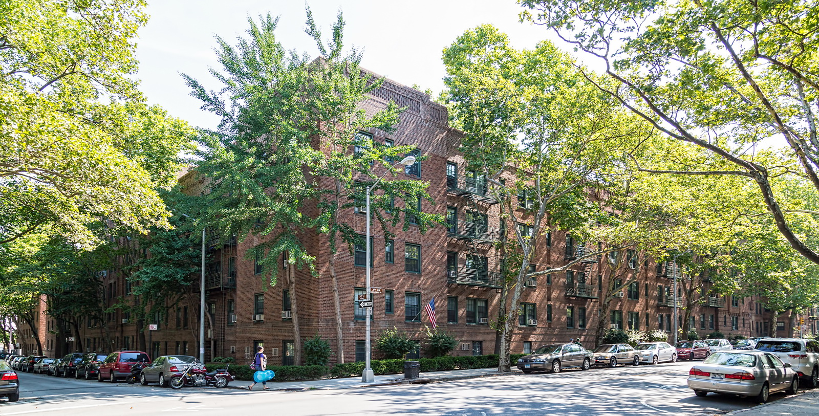
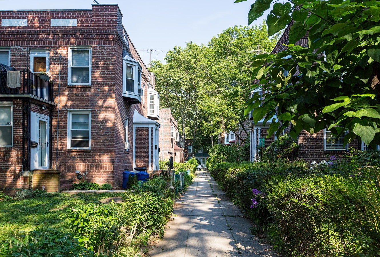
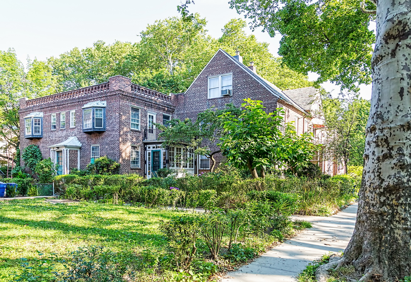
Forest Hills Gardens is a New York City fantasyland – a pricey, exclusive community that takes its privacy (and rules!) very seriously, yet began with the idea of providing affordable housing.
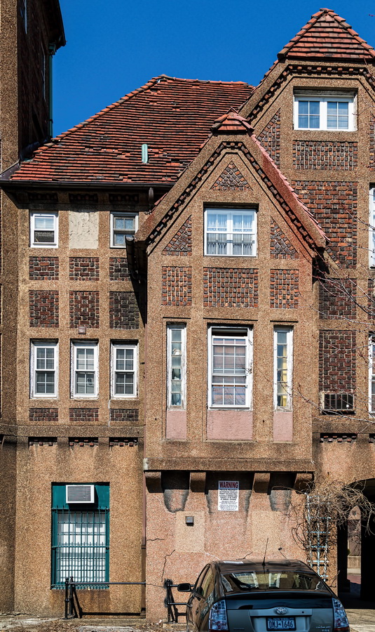
The Russell Sage Foundation bought 142 acres from Cord Meyer Development Company in 1909 to create a “Garden Cities” community for the working poor. Alas, “affordable housing” soon became a myth. Although architect Grosvenor Atterbury used prefabrication techniques to reduce costs, home prices skyrocketed. It’s fair to say that the only working poor you’ll spot in Forest Hills Gardens are the groundskeepers.
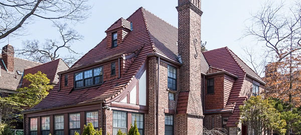
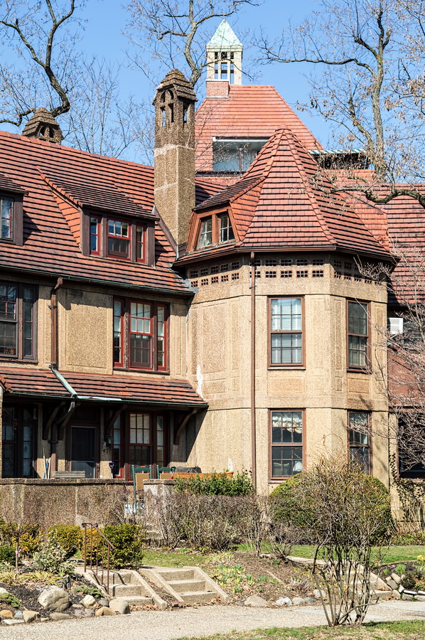
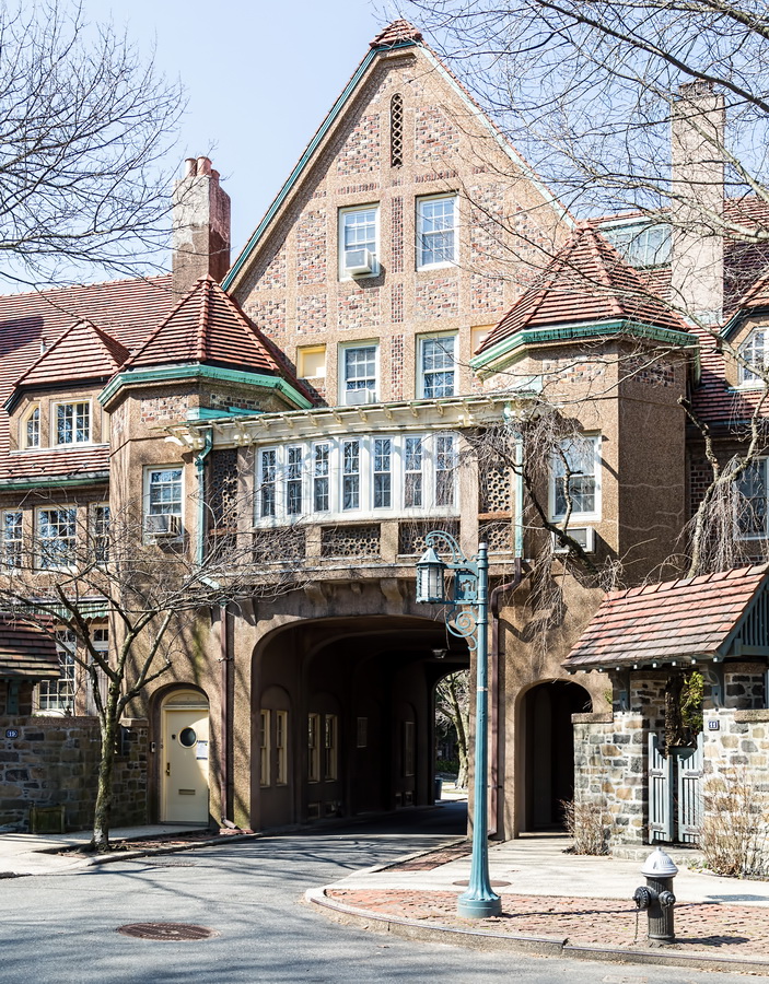
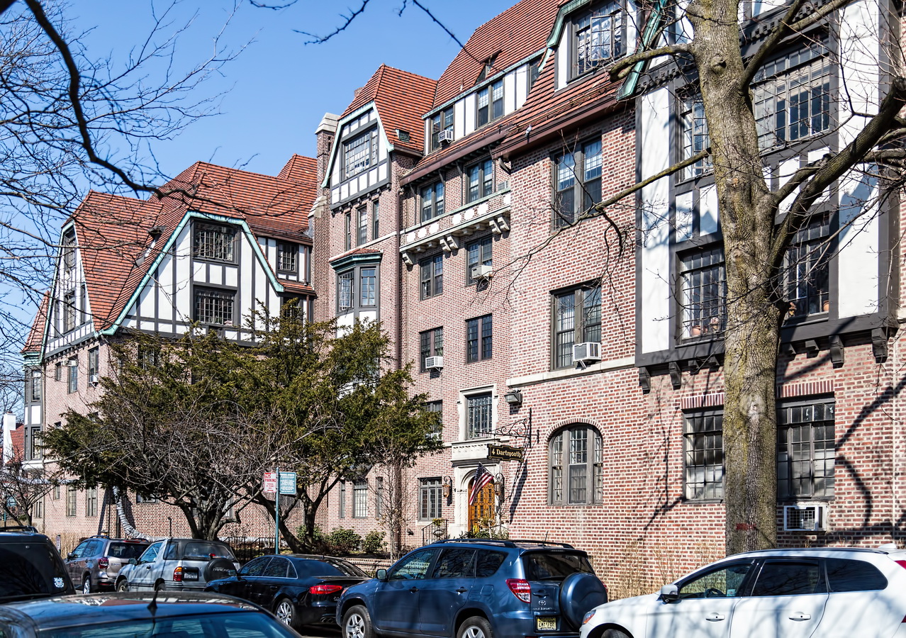
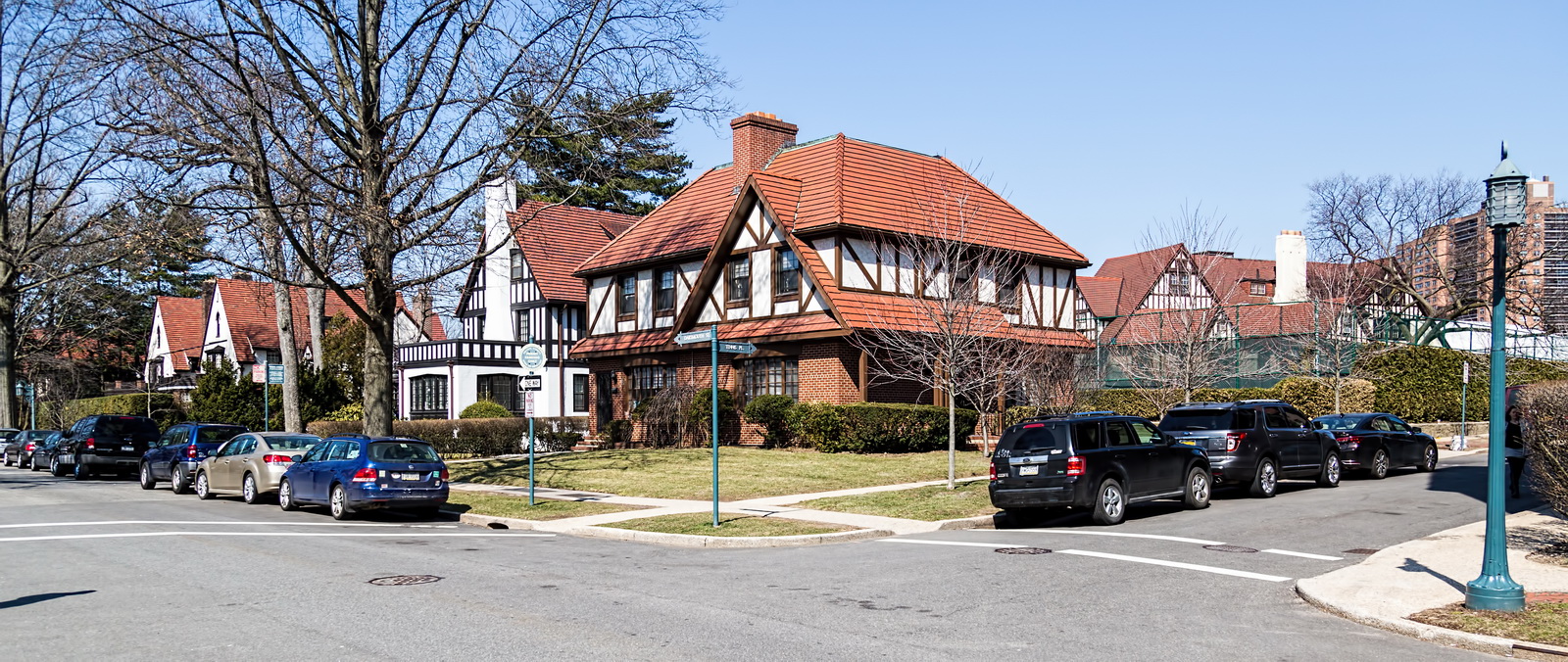
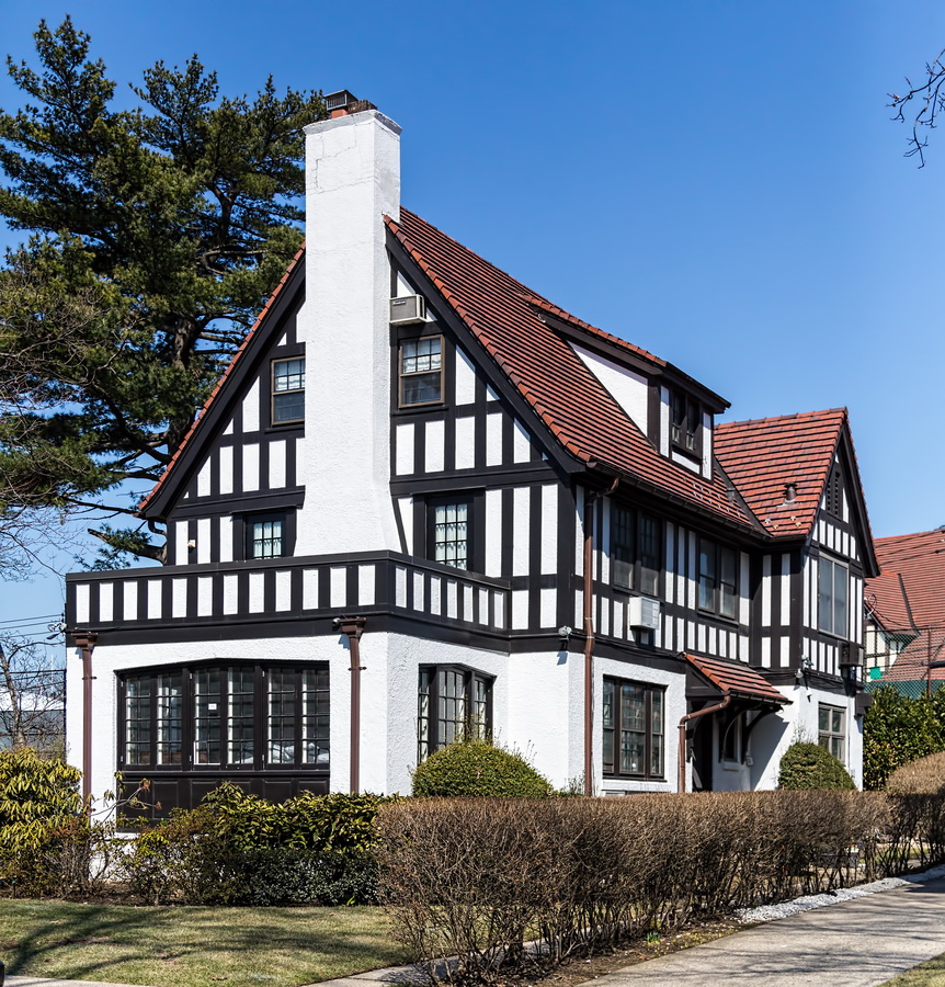
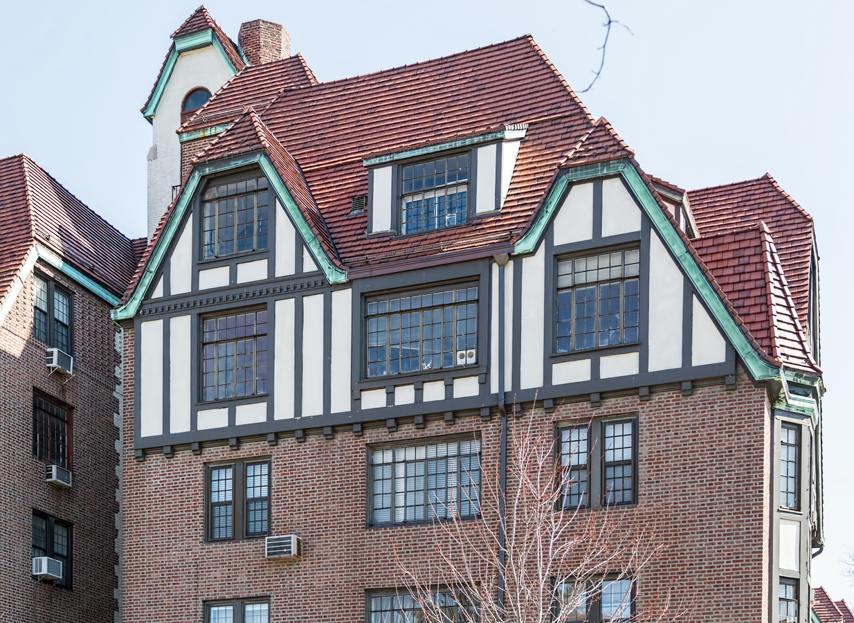
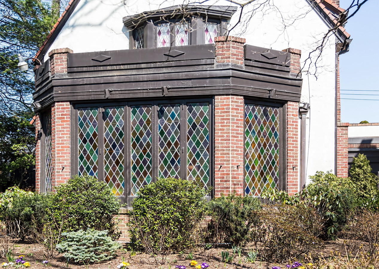
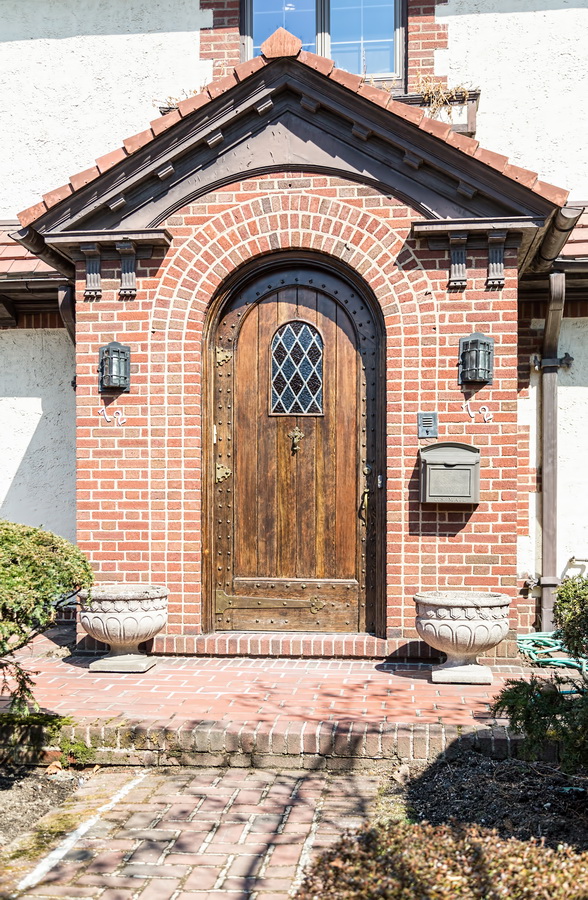
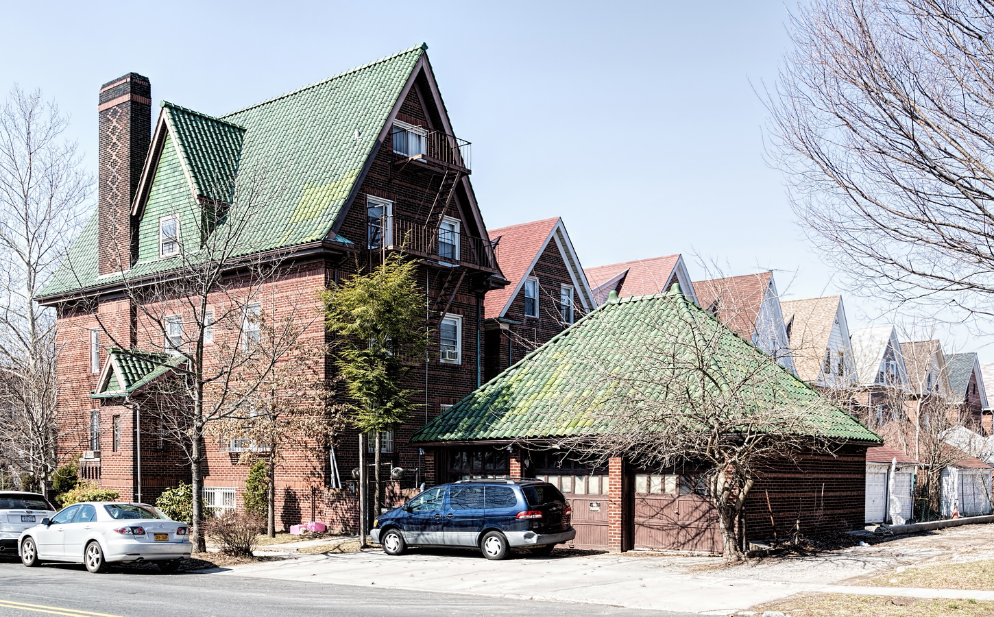
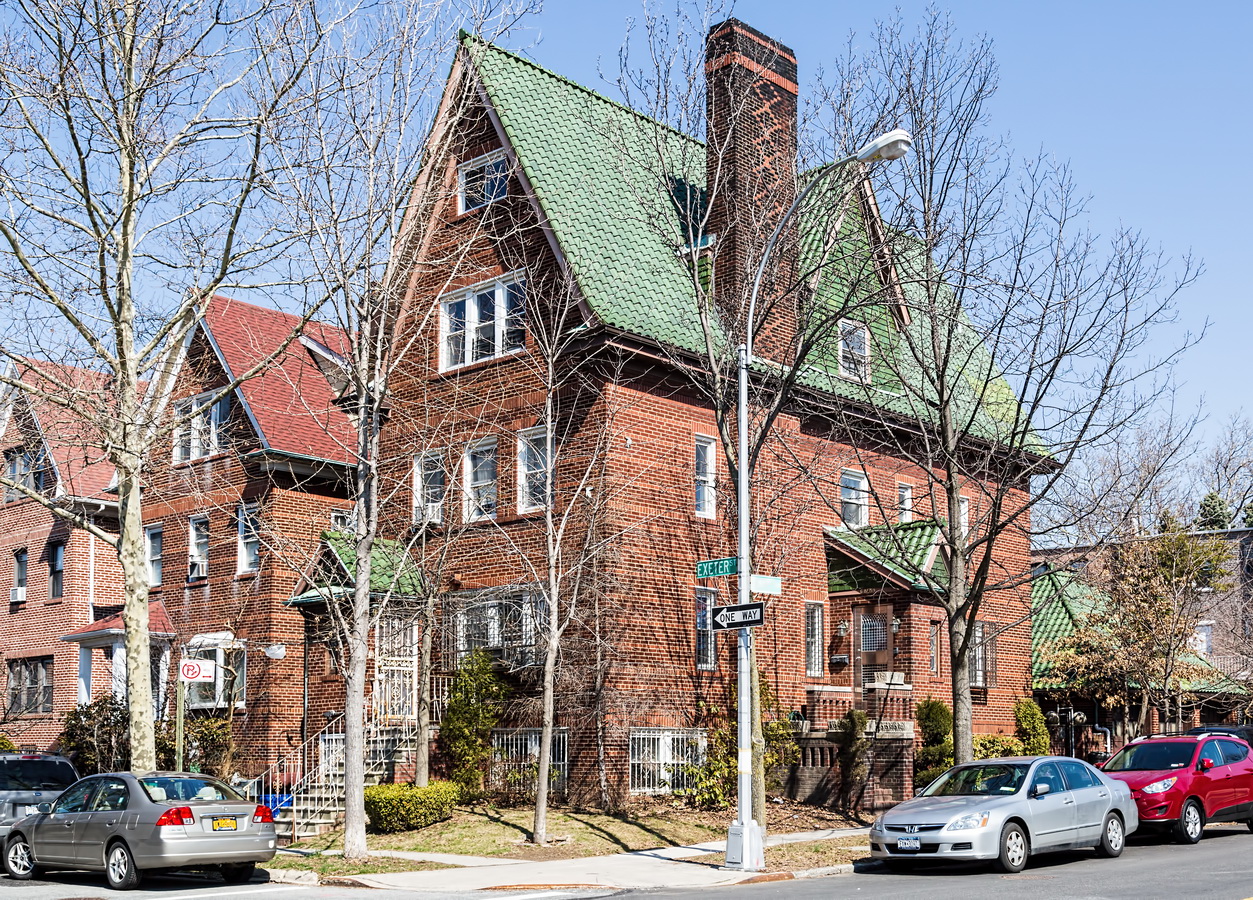
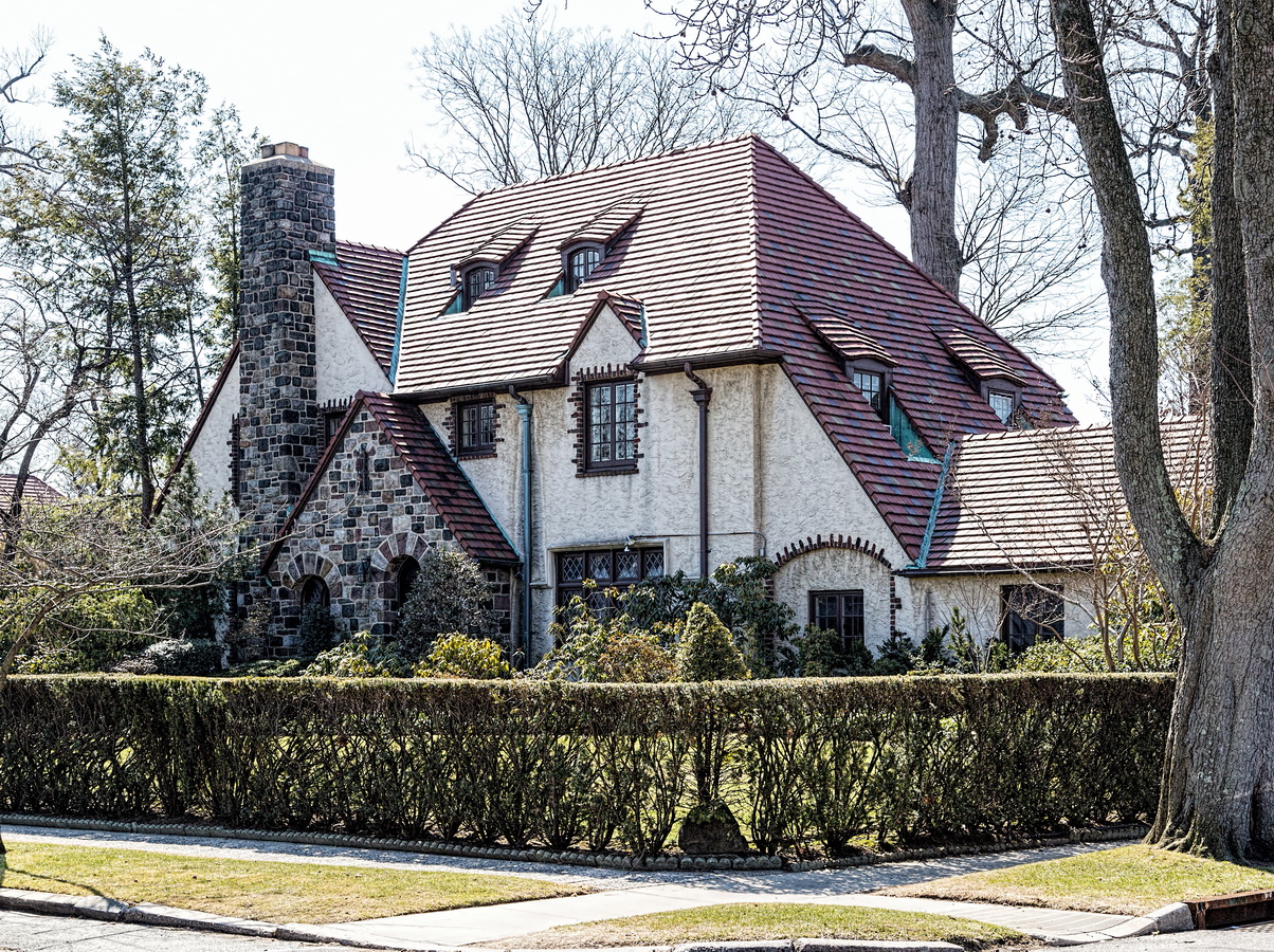
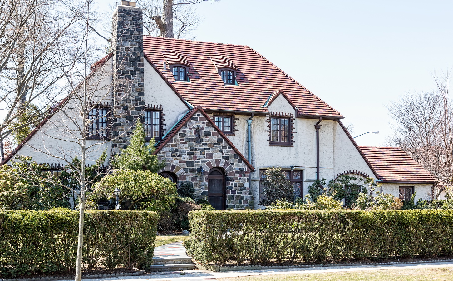
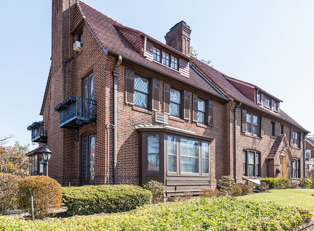
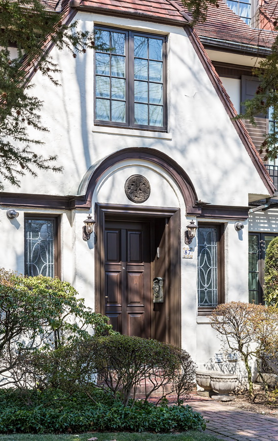
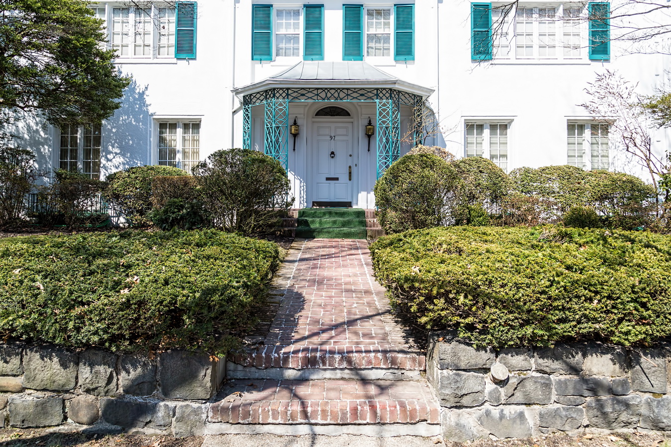
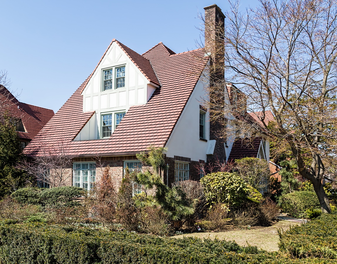
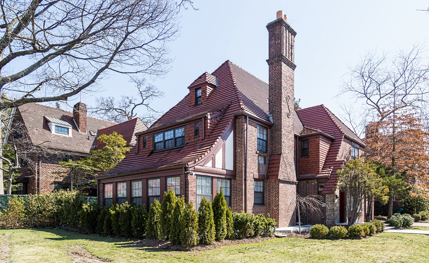
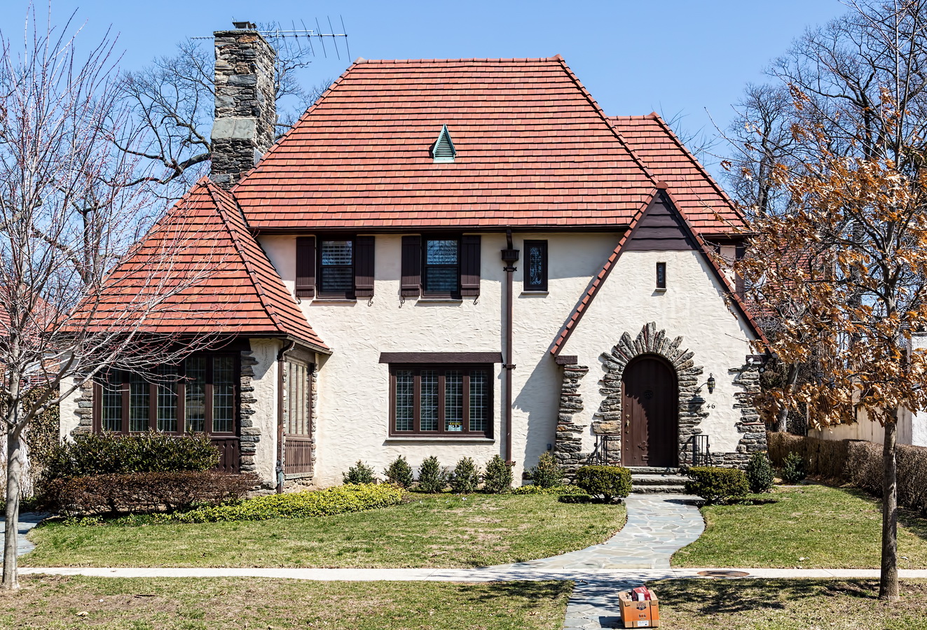
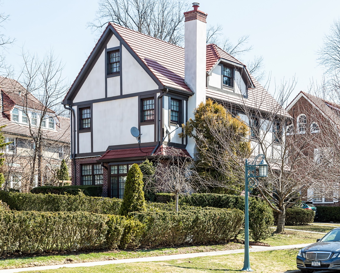
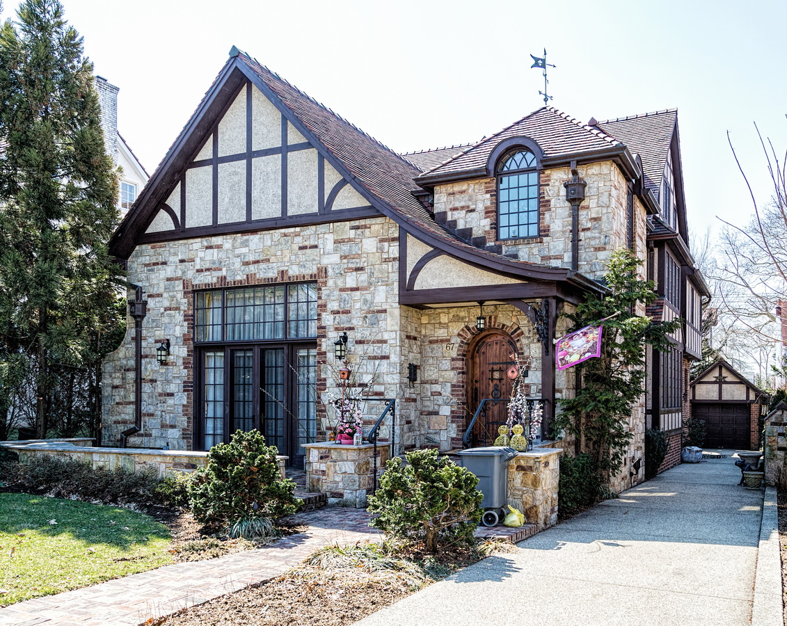
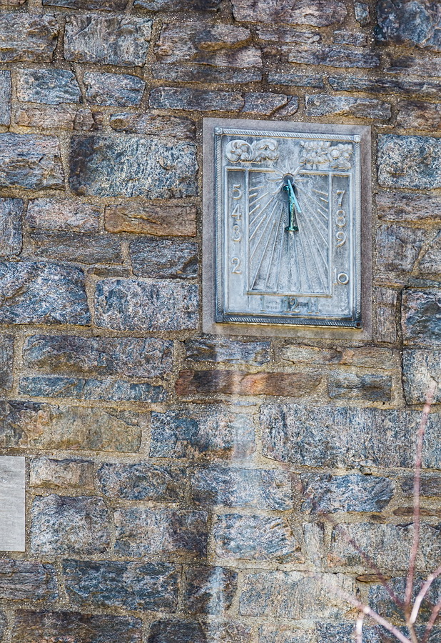
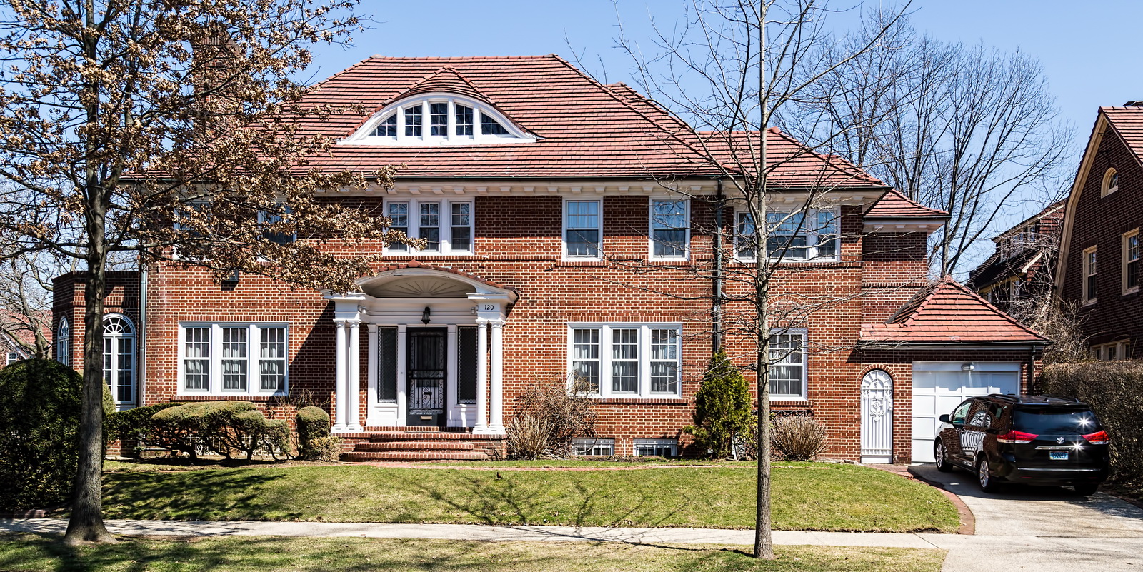
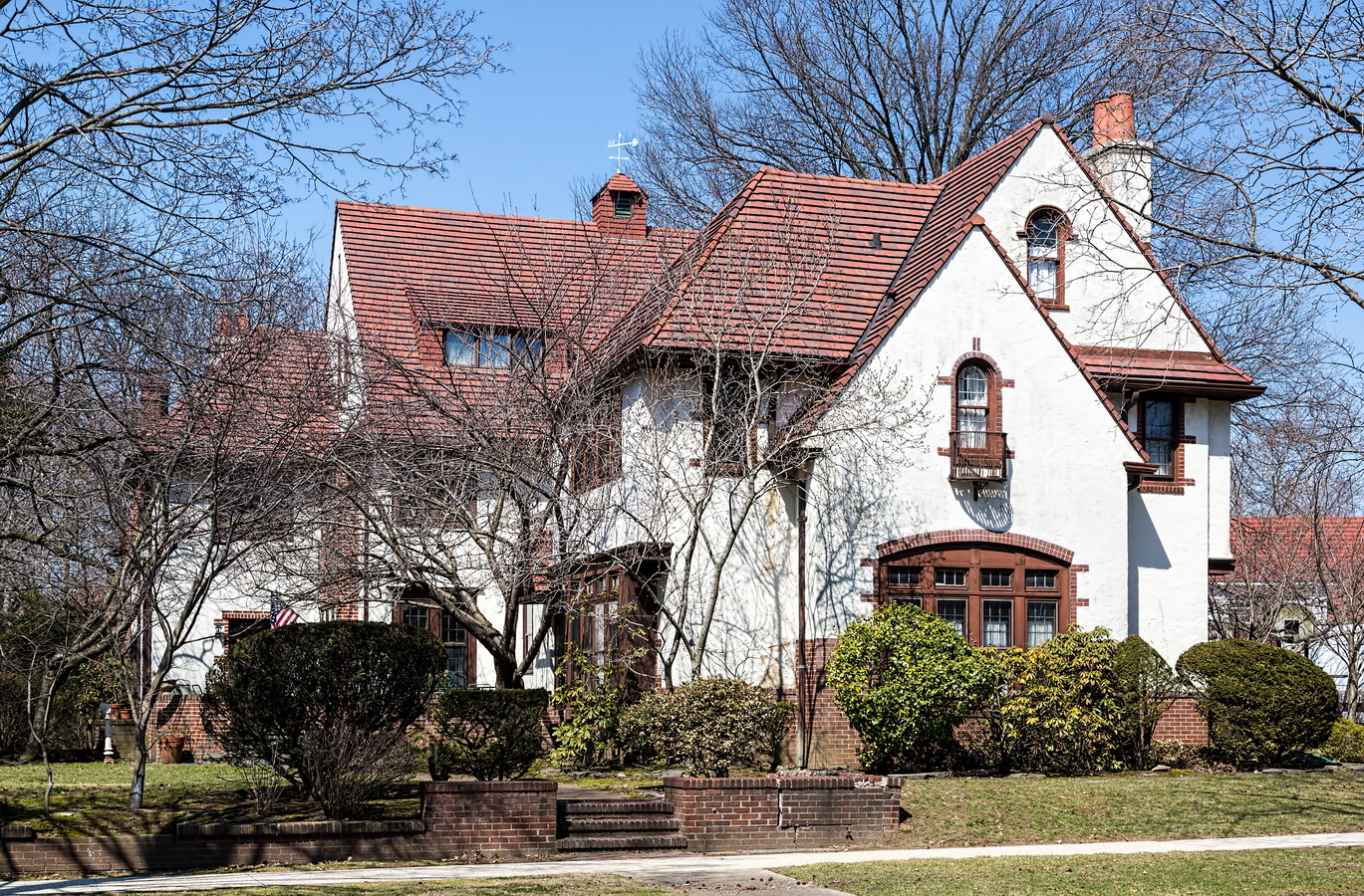
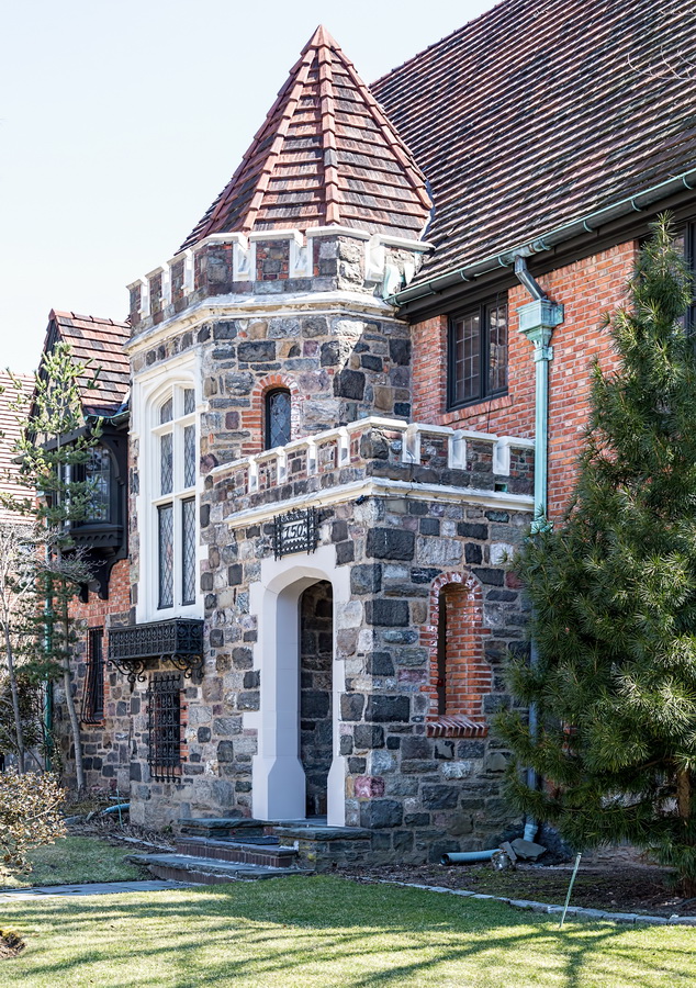
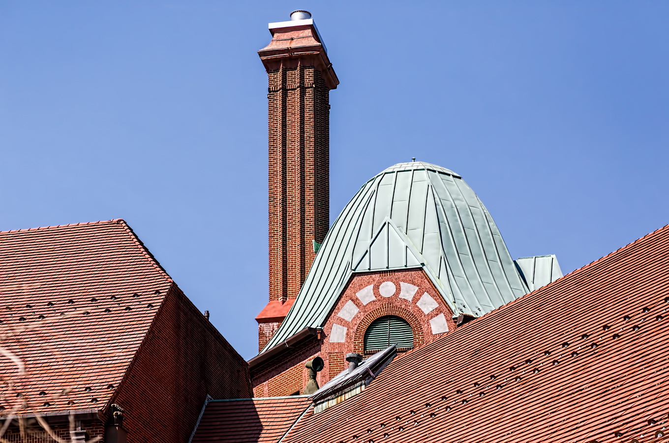
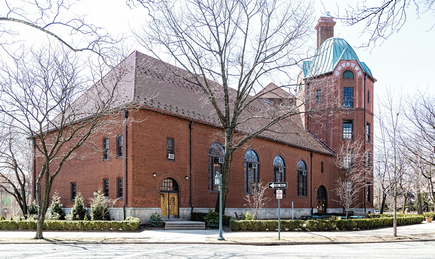
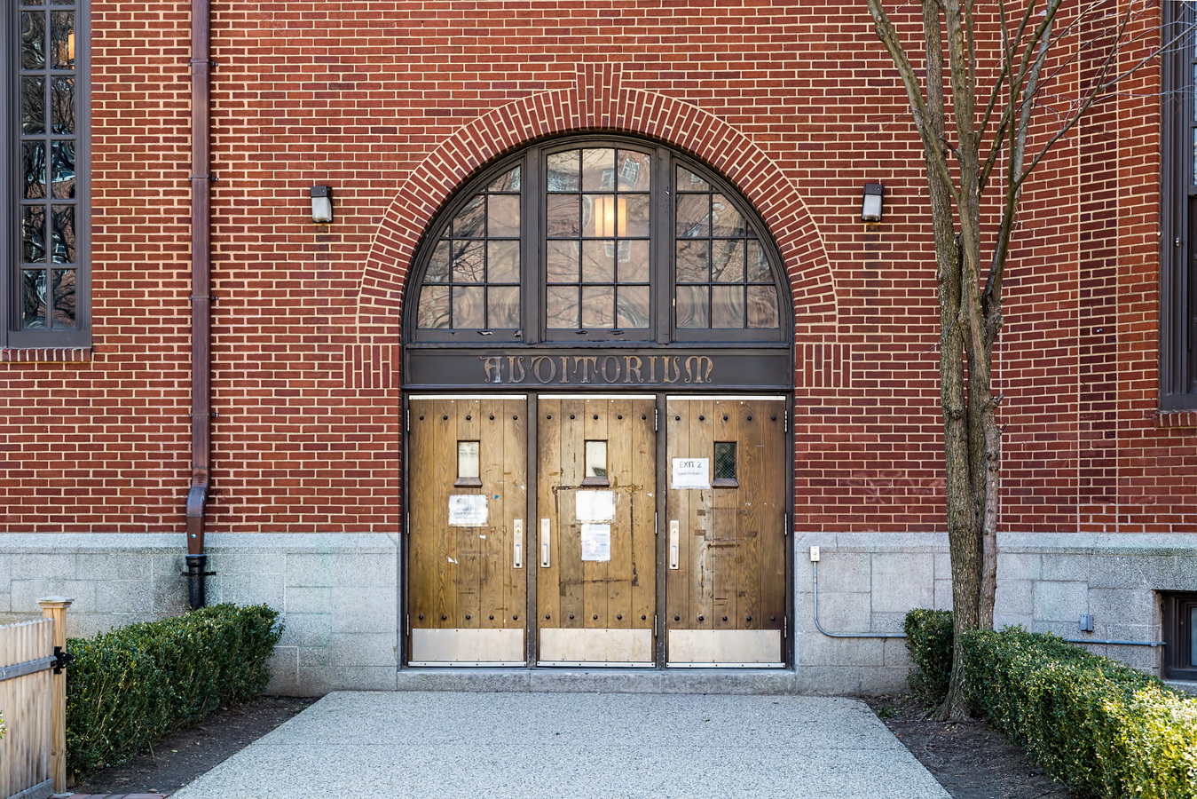
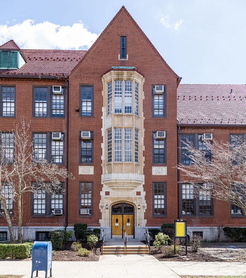
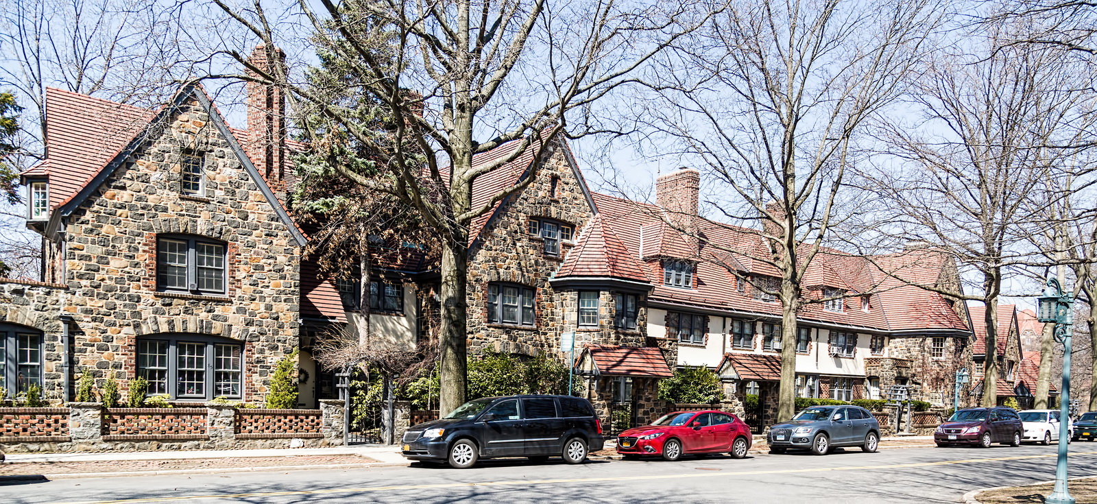
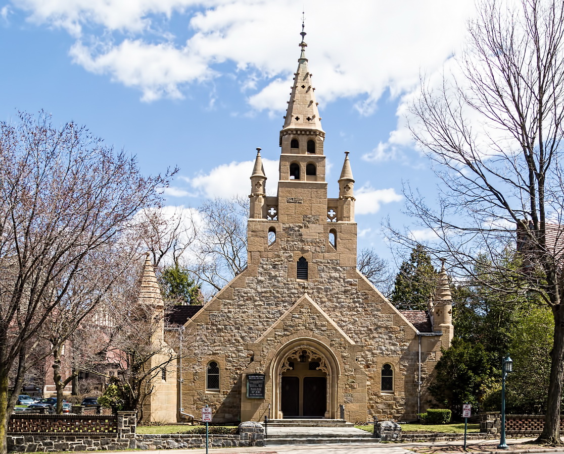
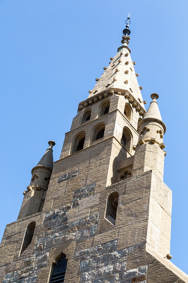
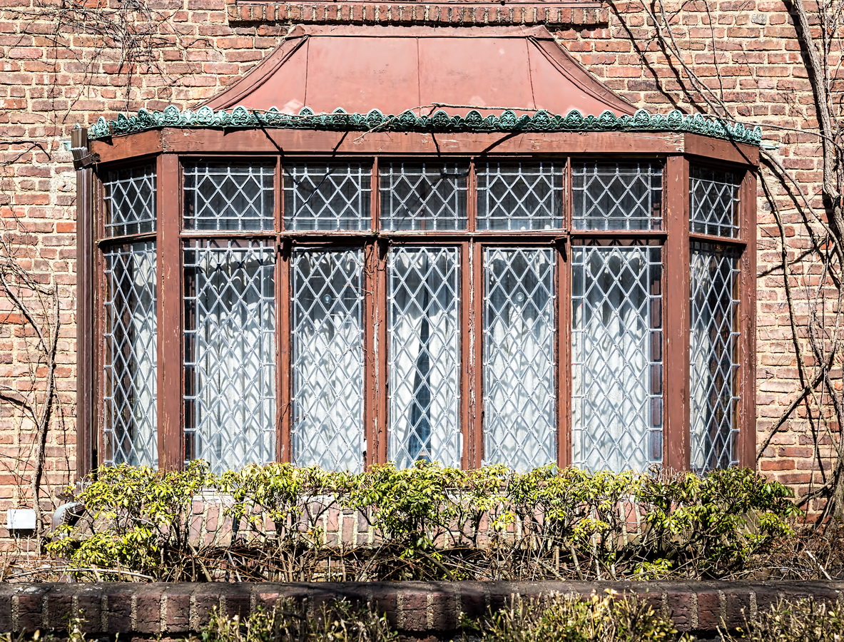
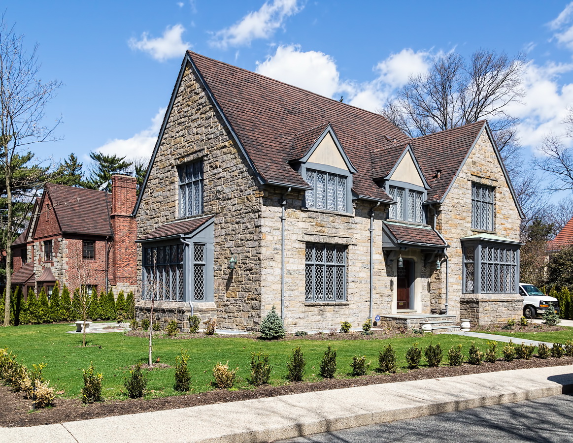
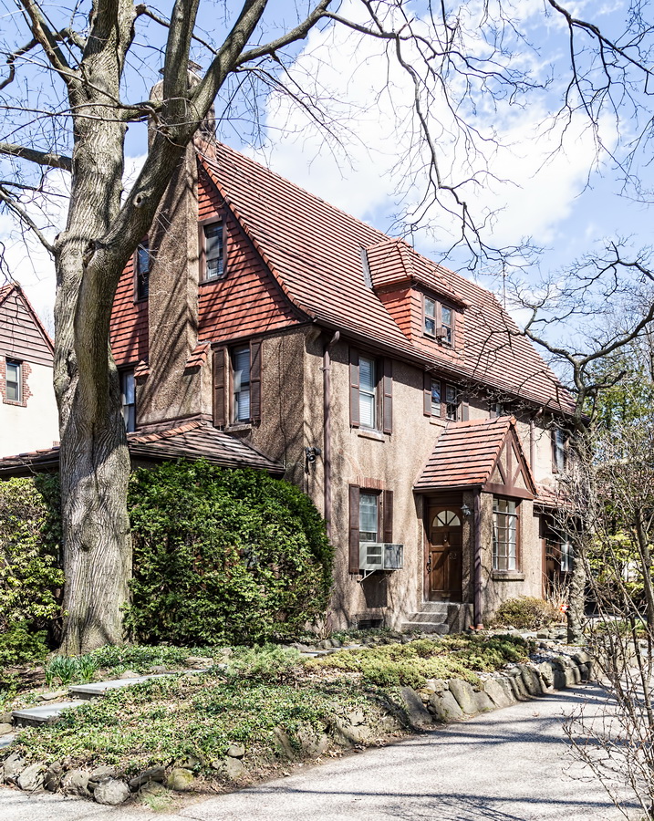
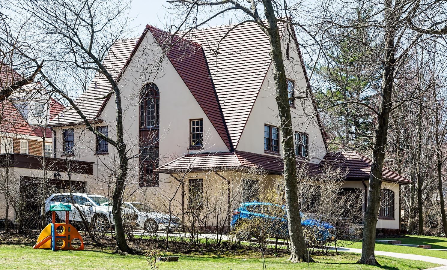
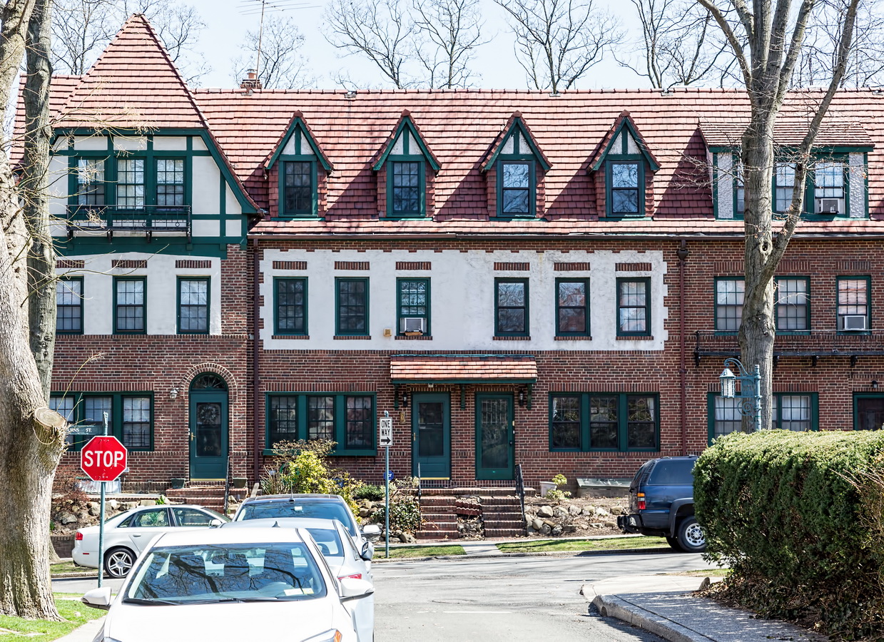
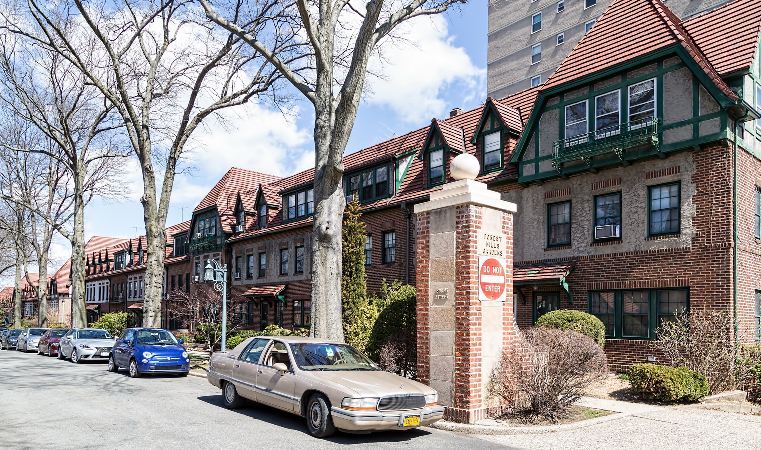
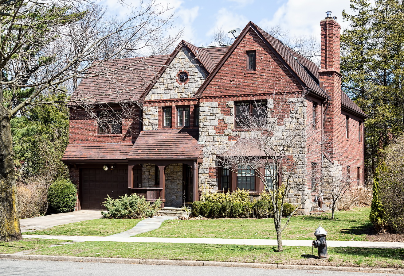
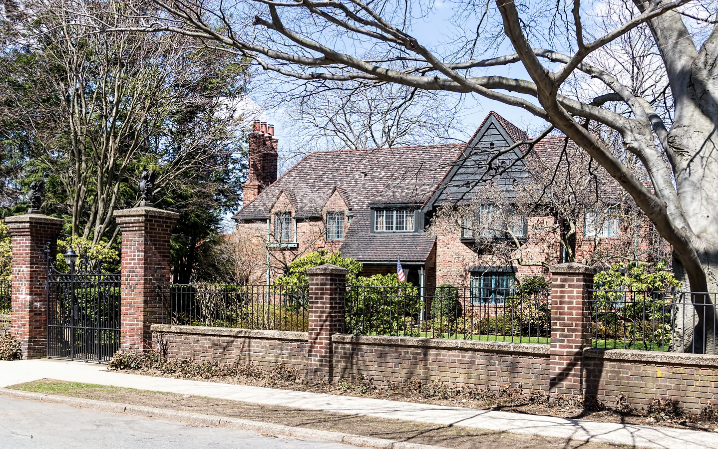
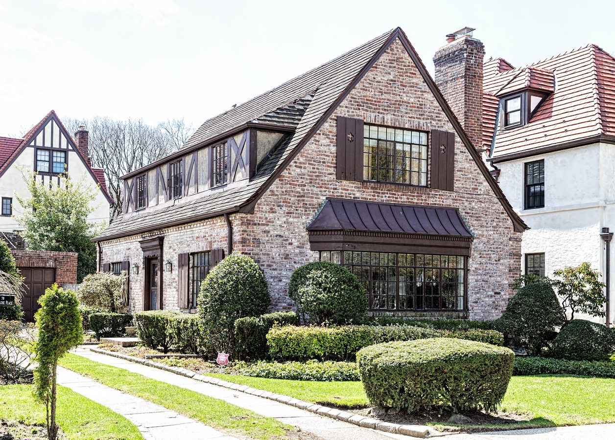
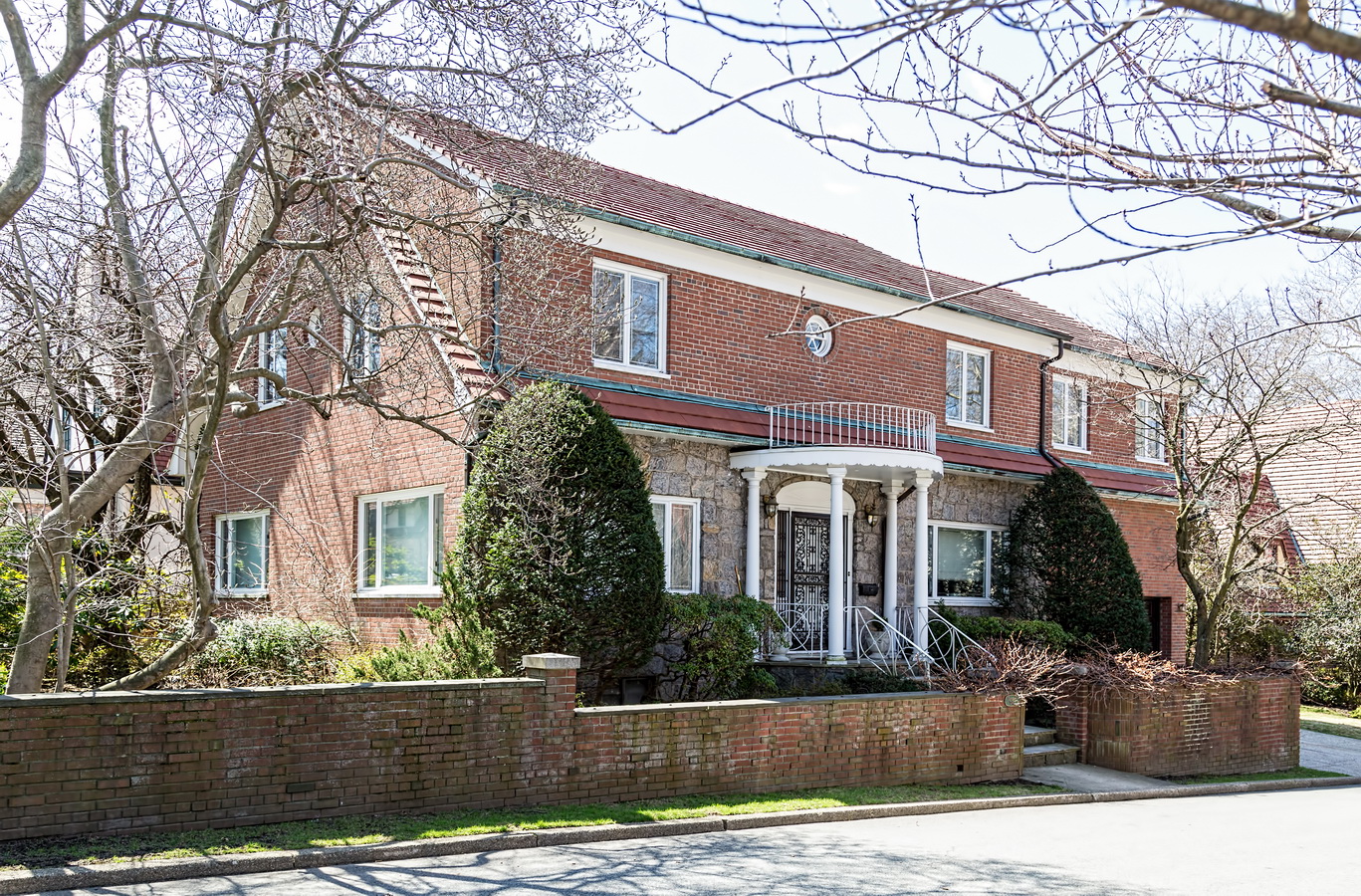
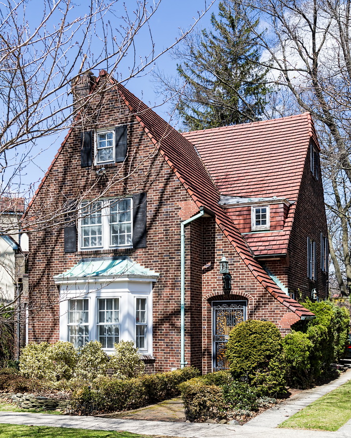
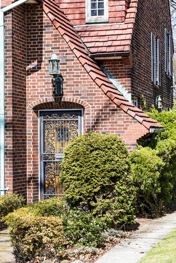
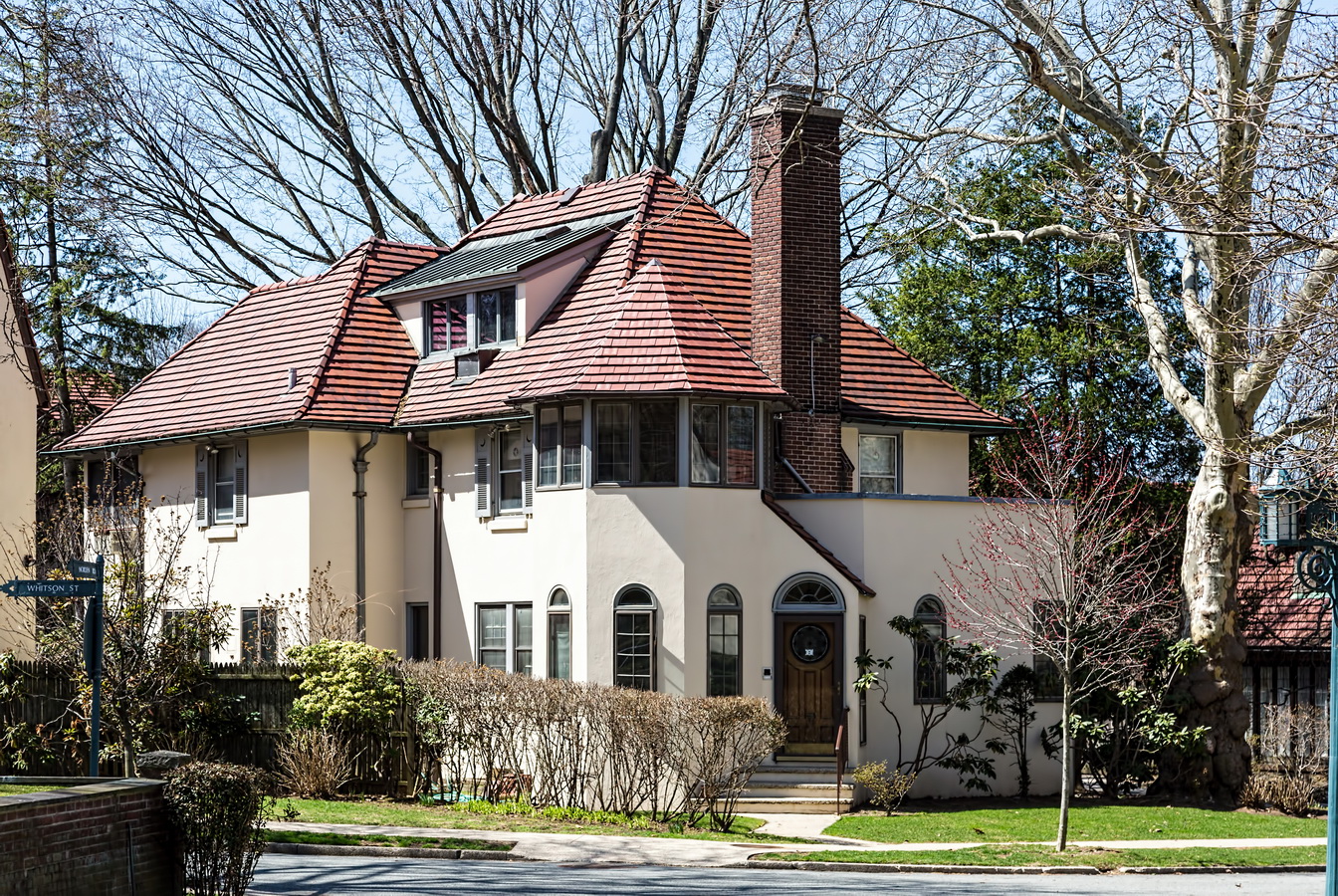
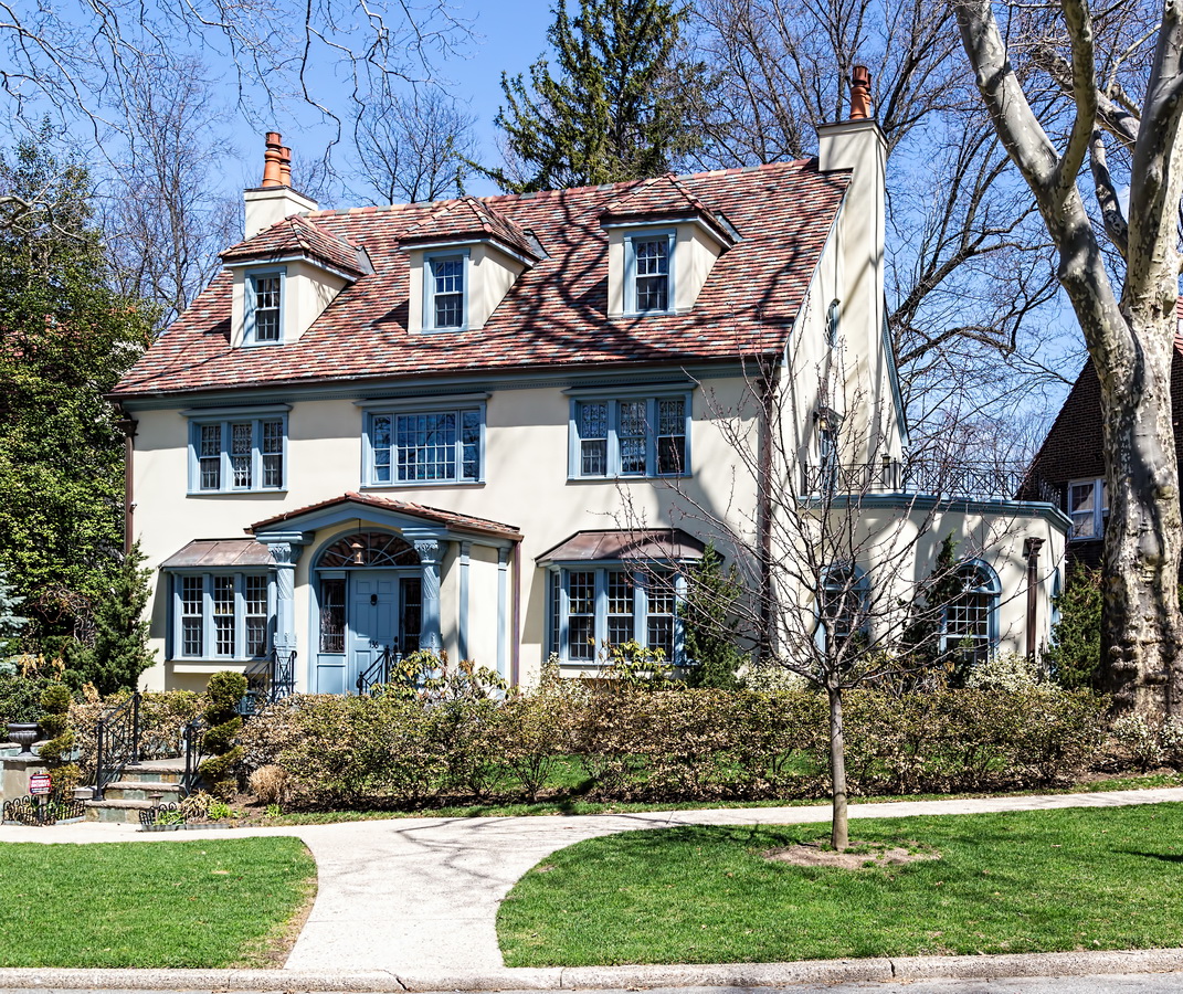
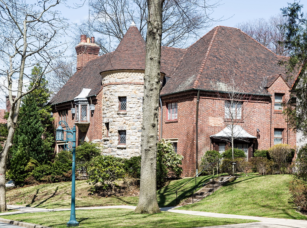
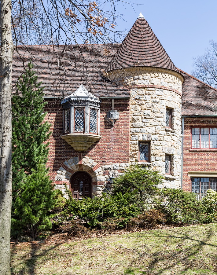
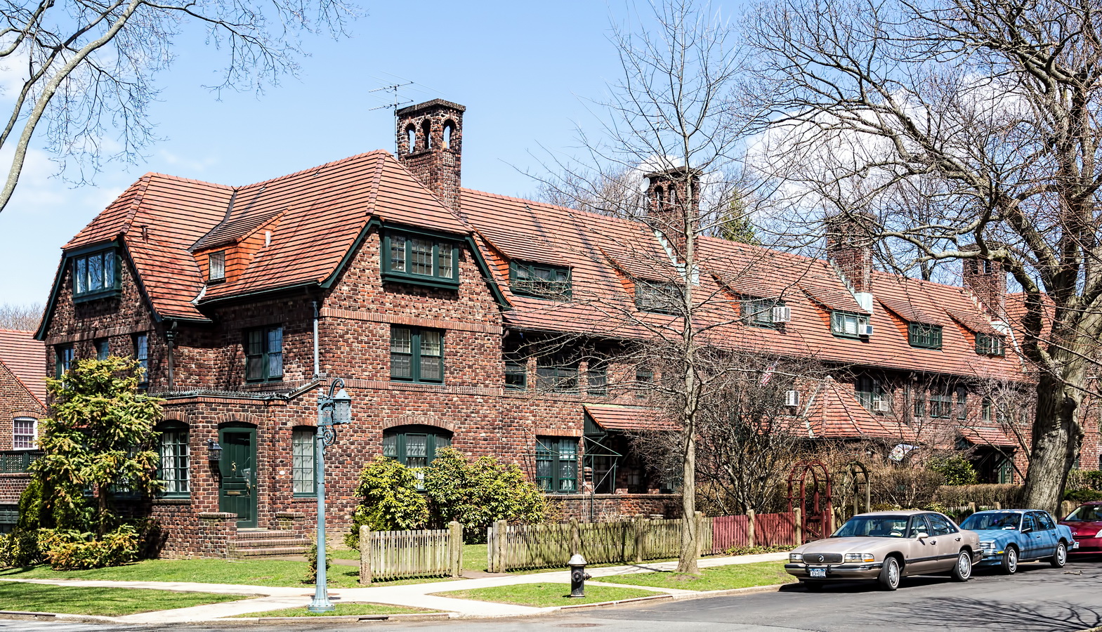
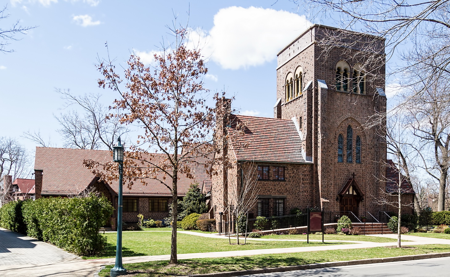
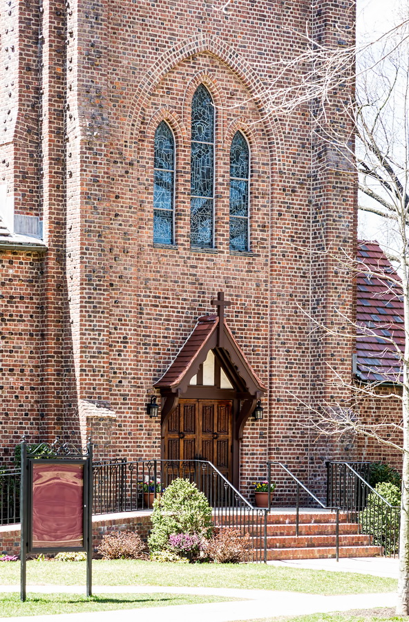
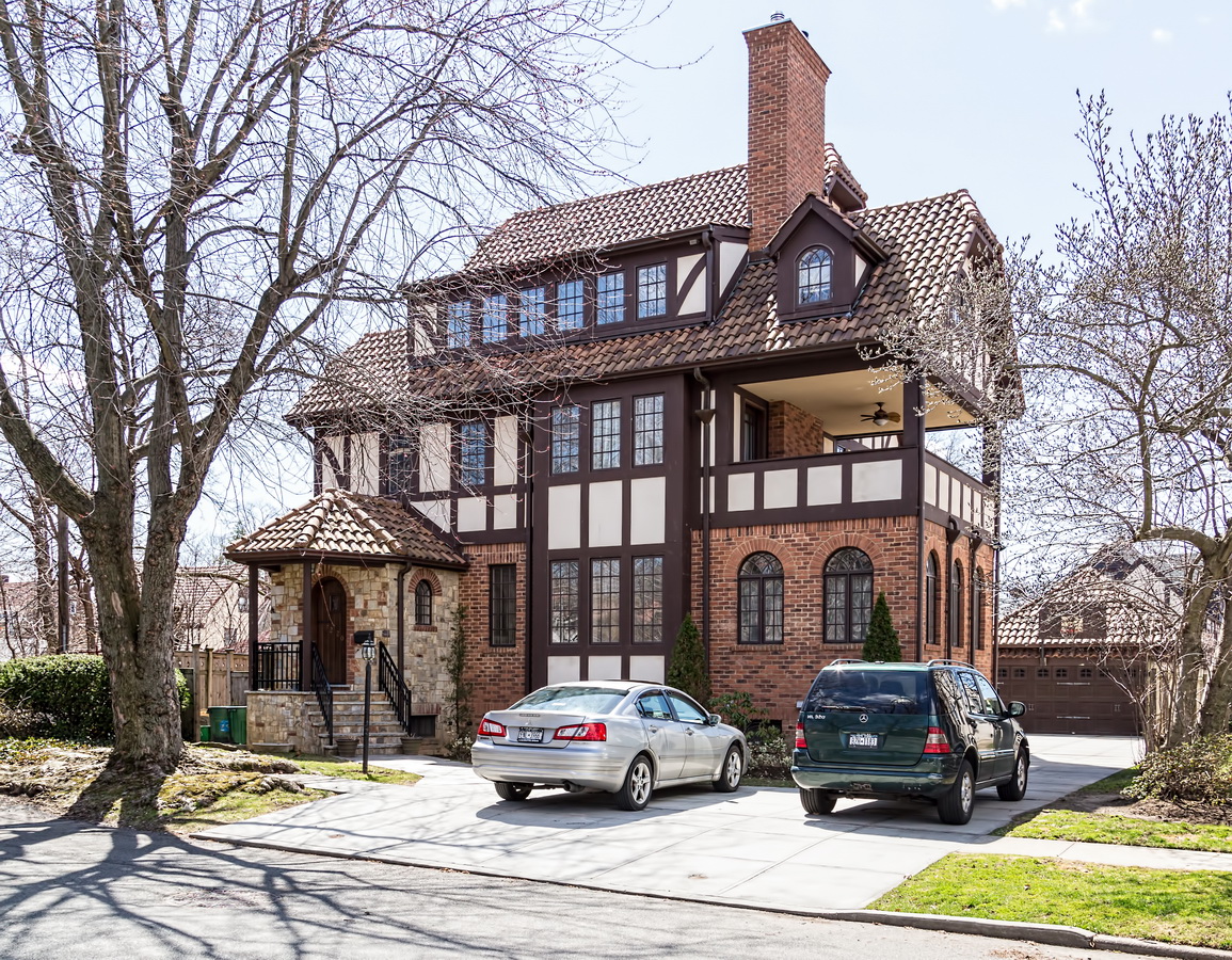
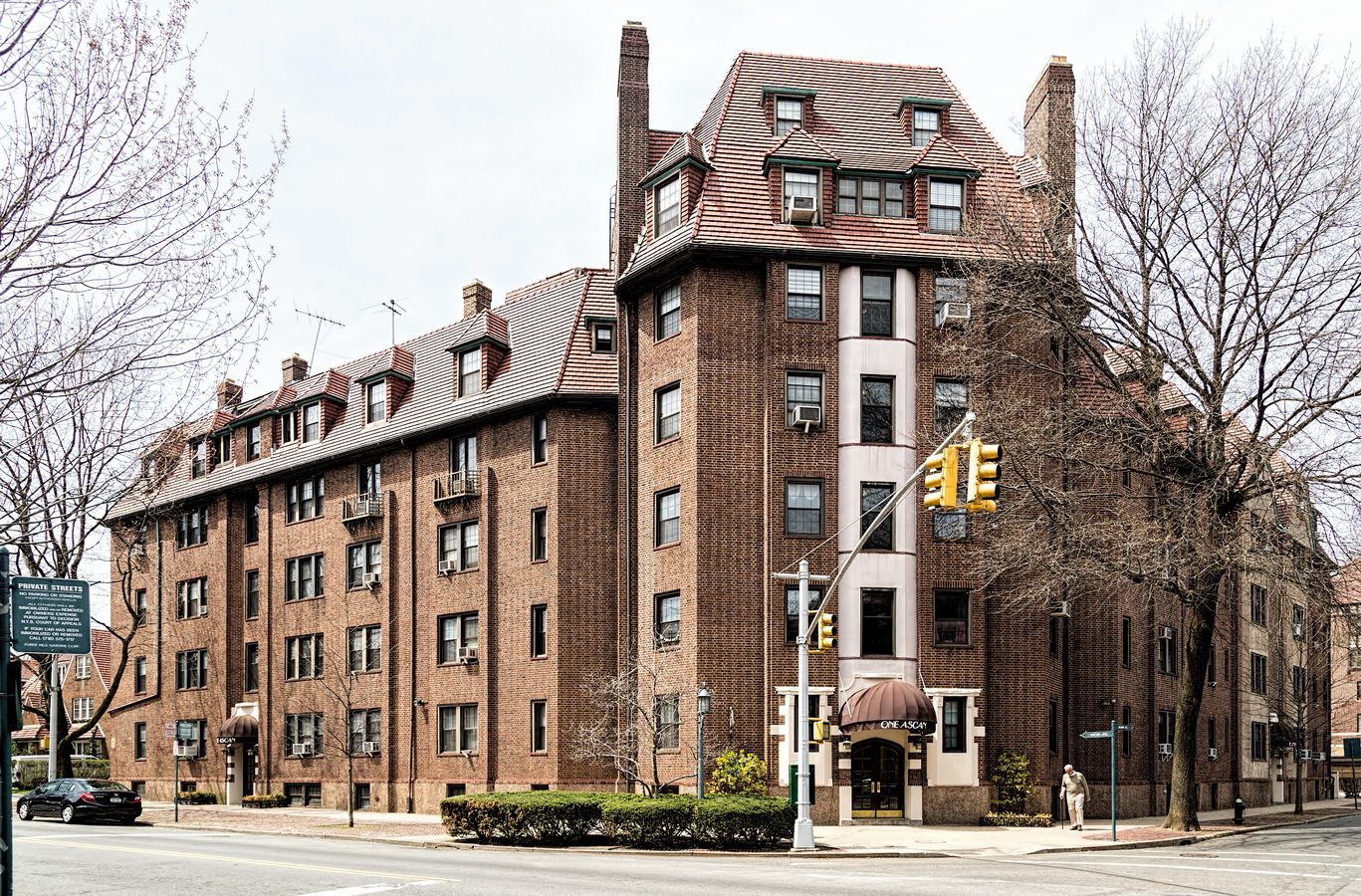
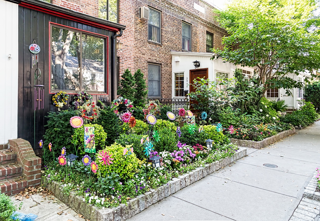
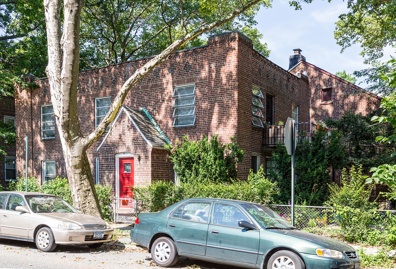
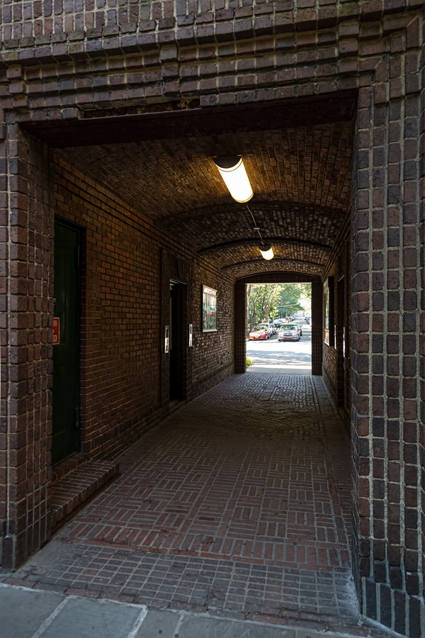
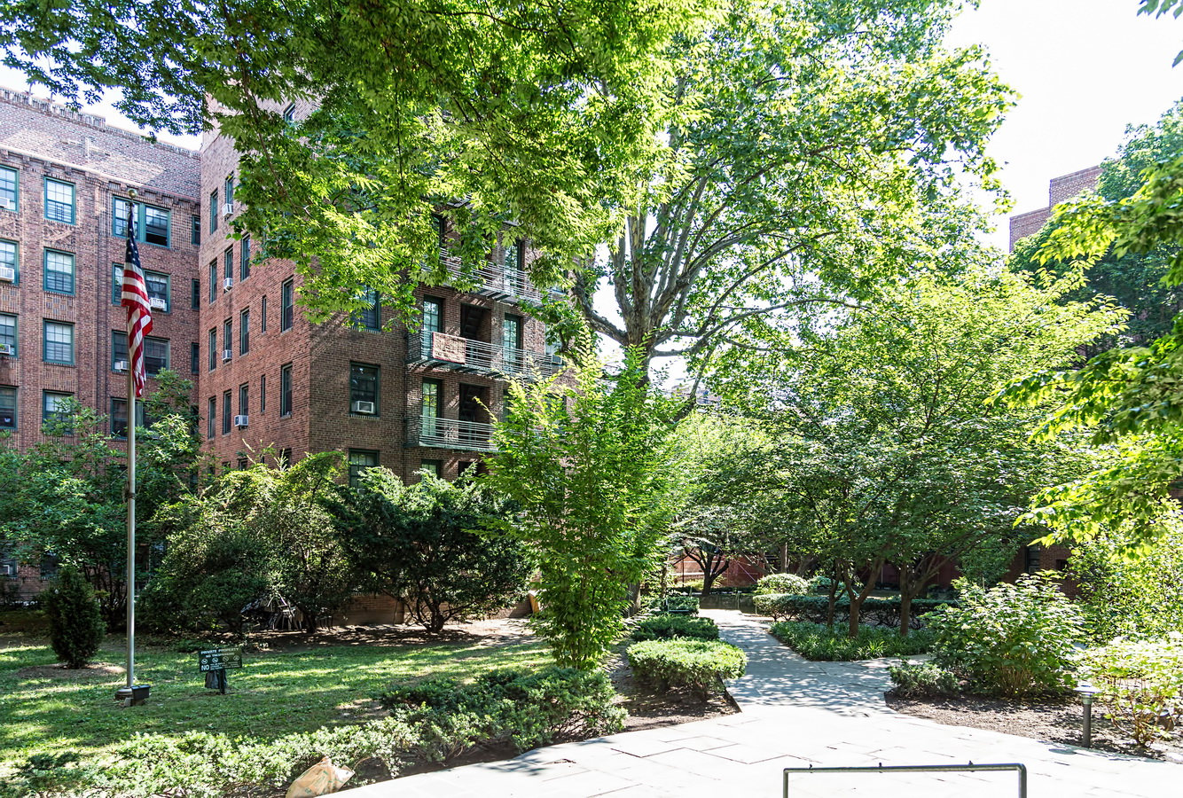
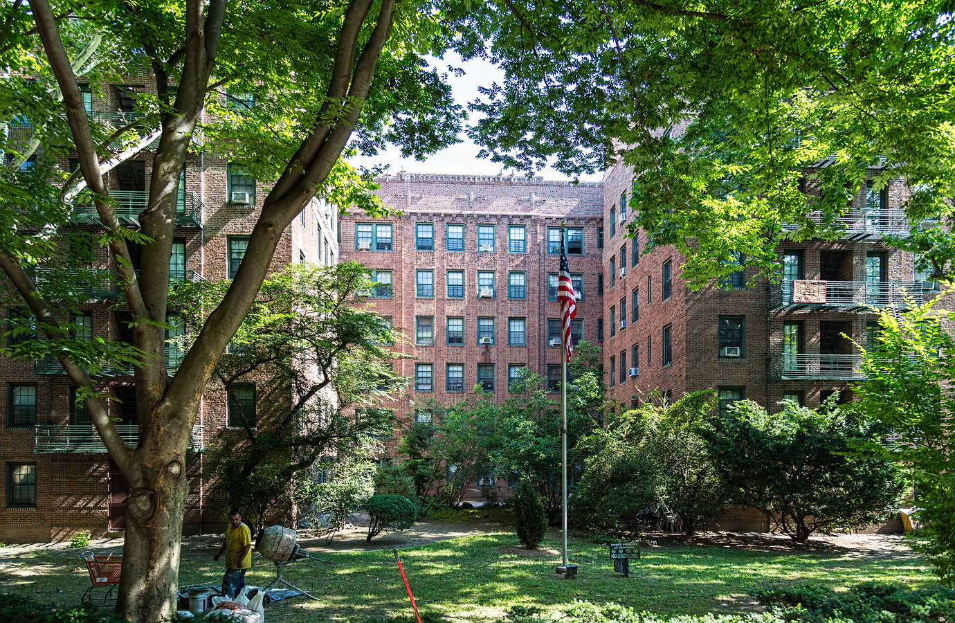
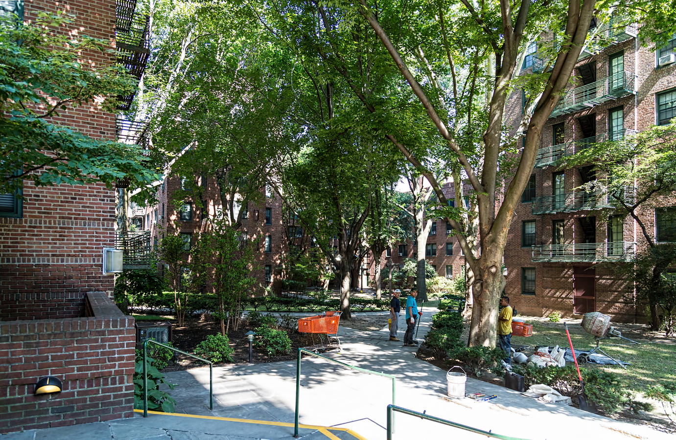
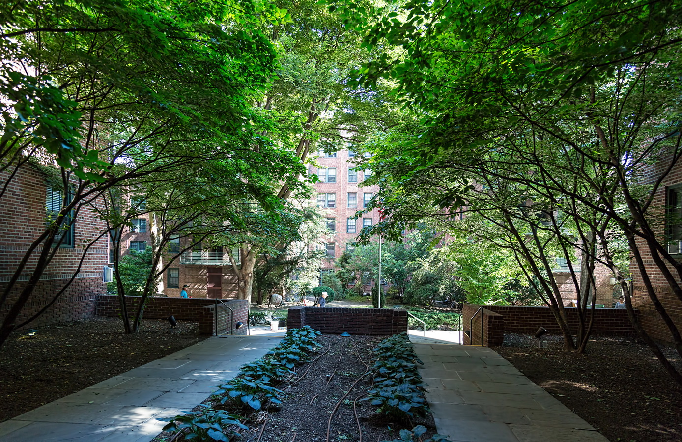
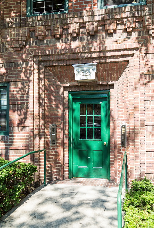
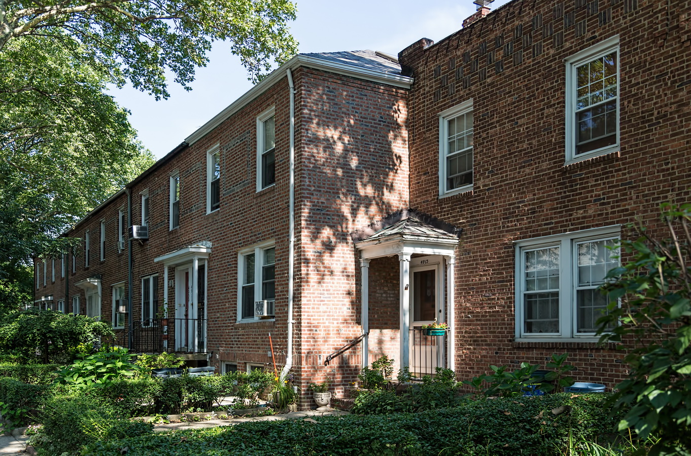
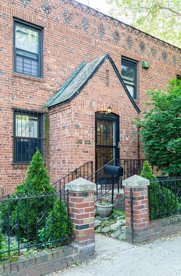
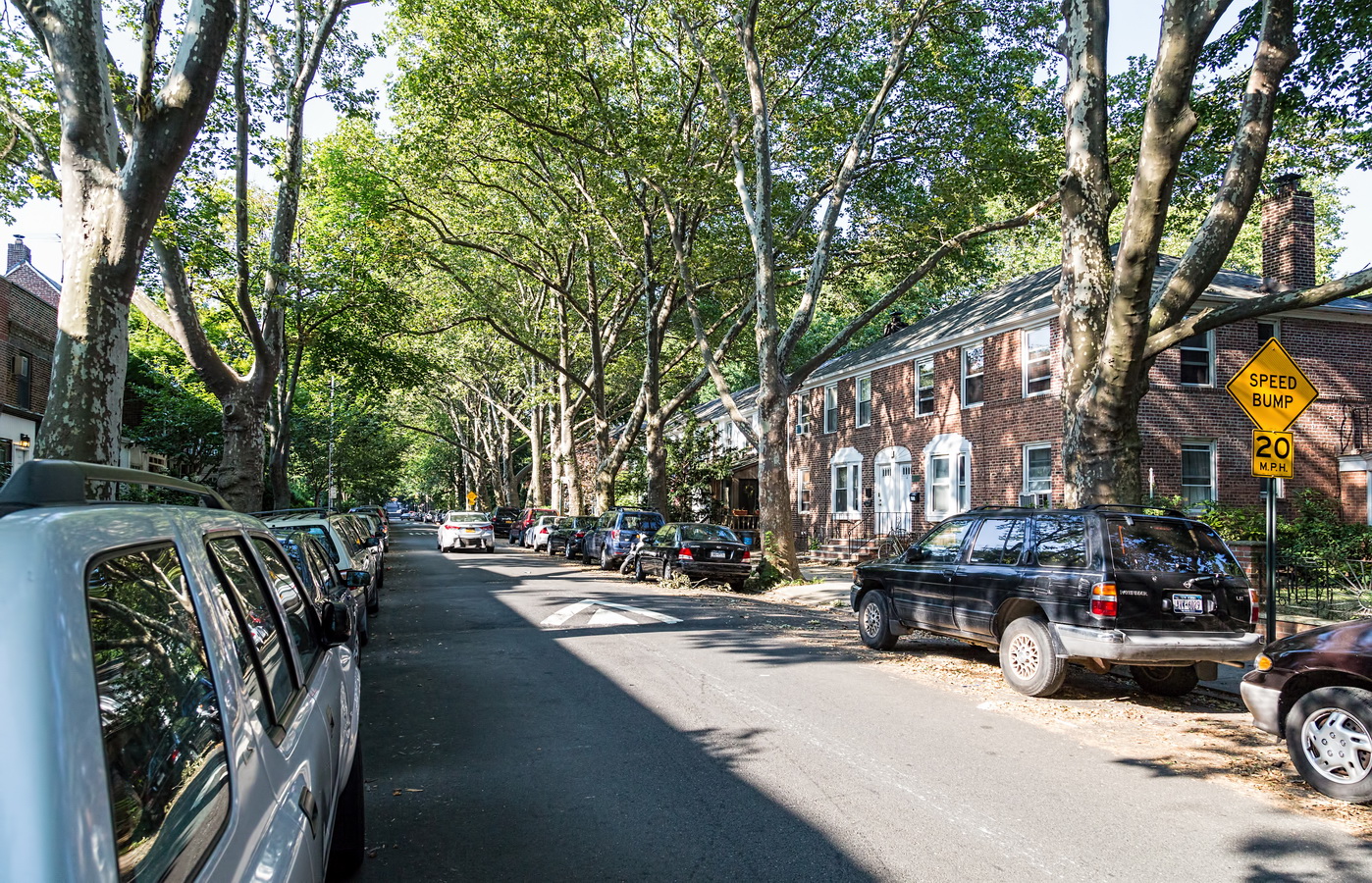
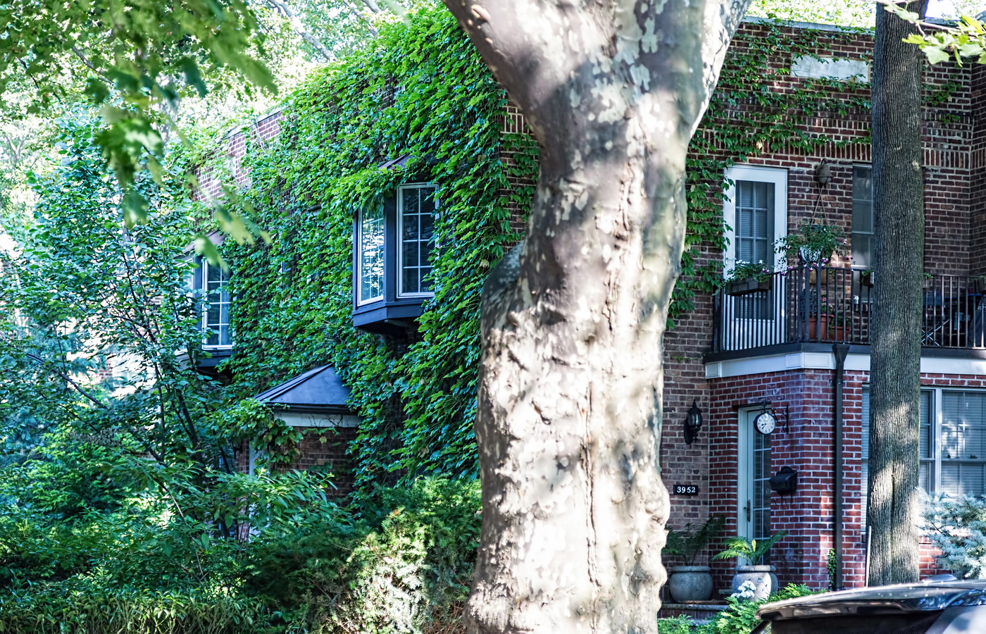
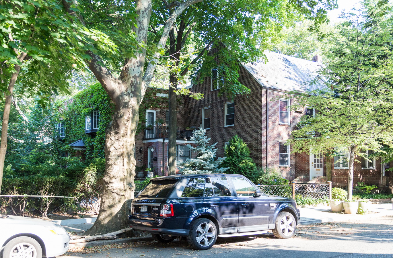
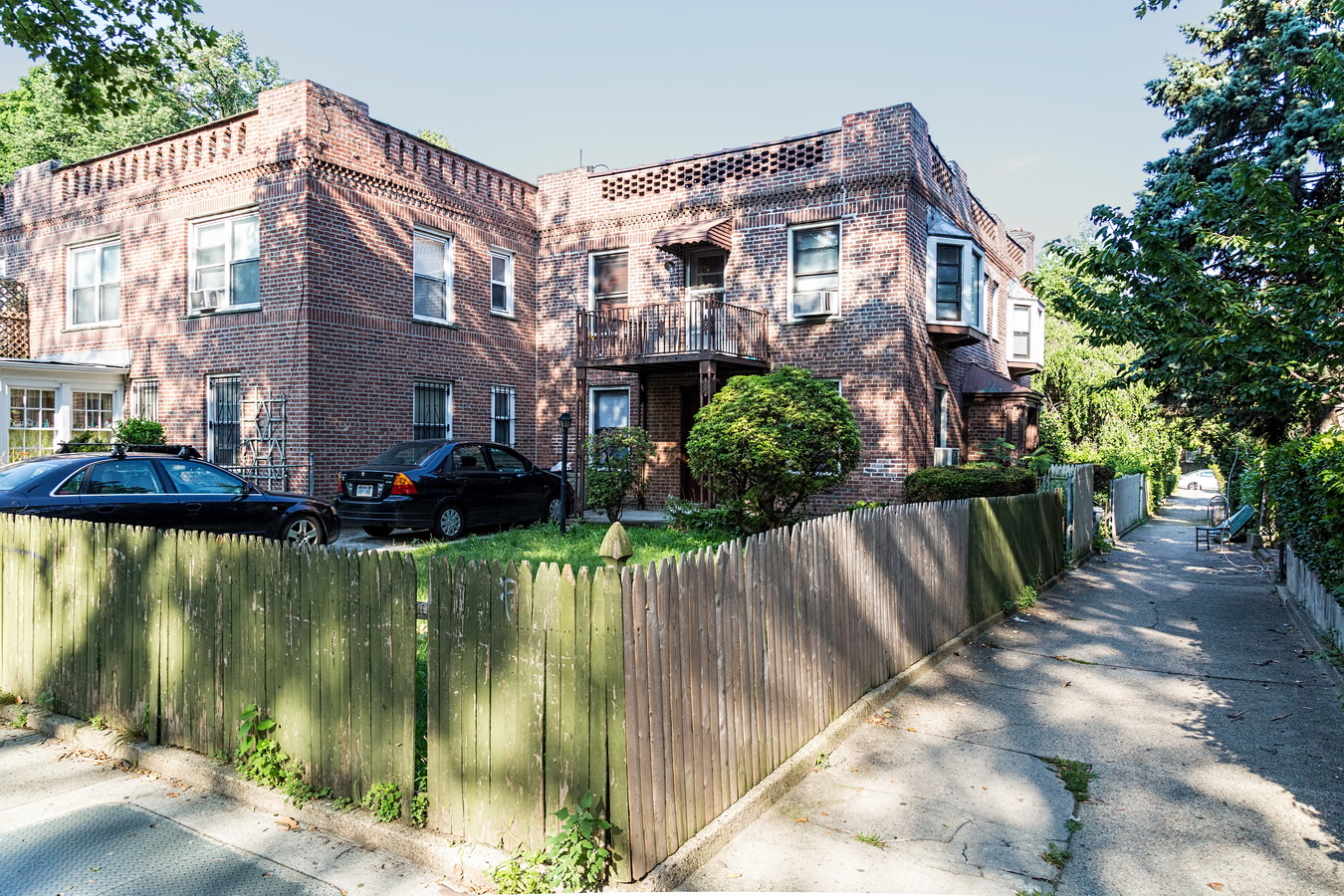
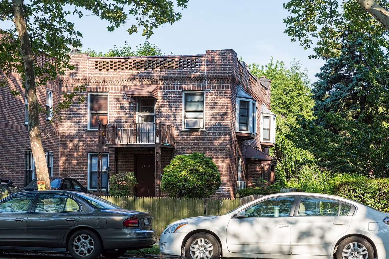
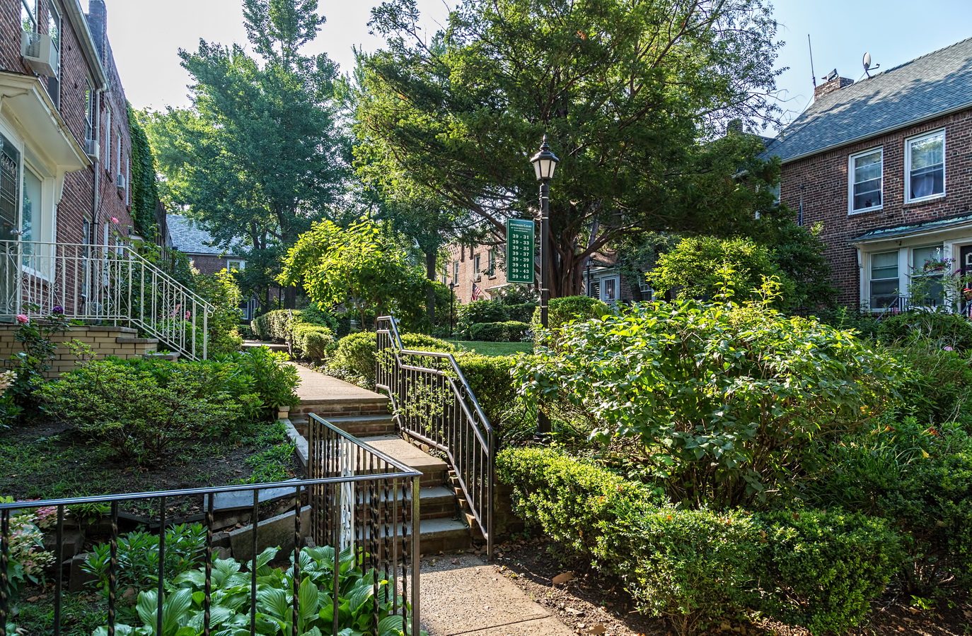
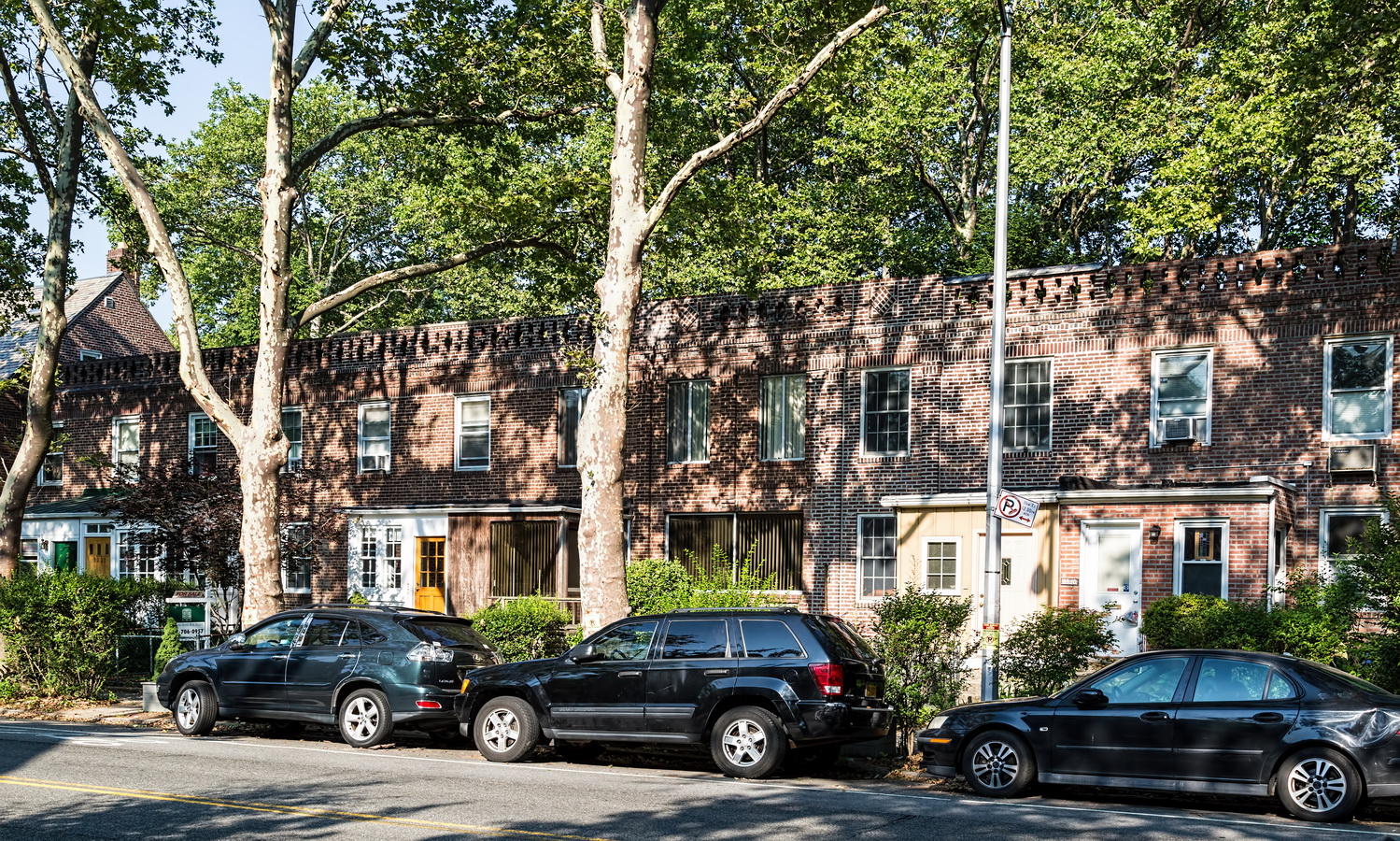
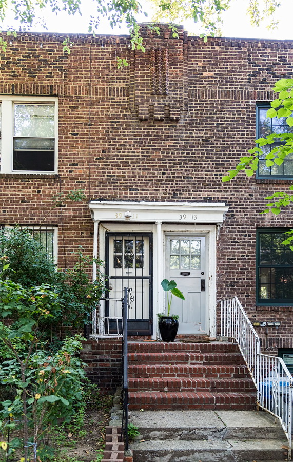
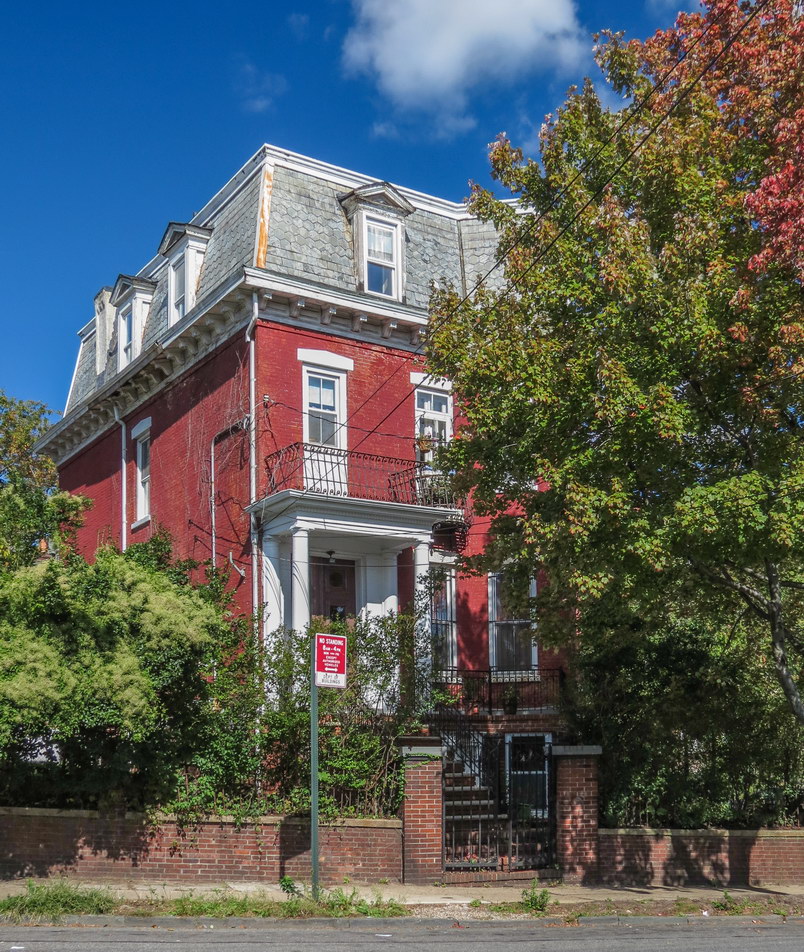
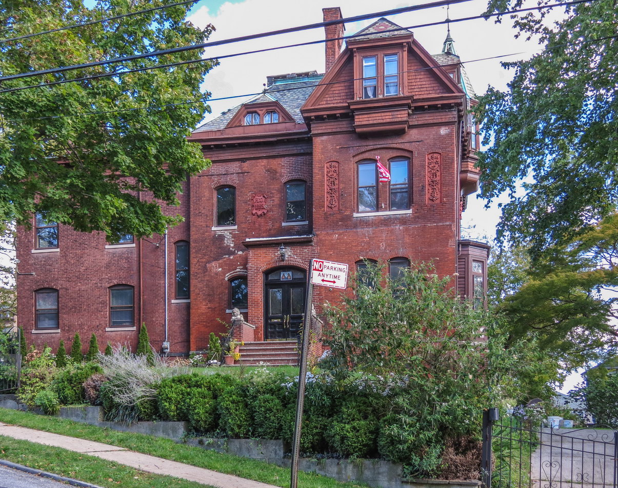
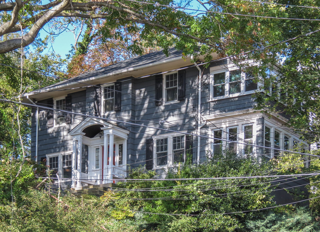
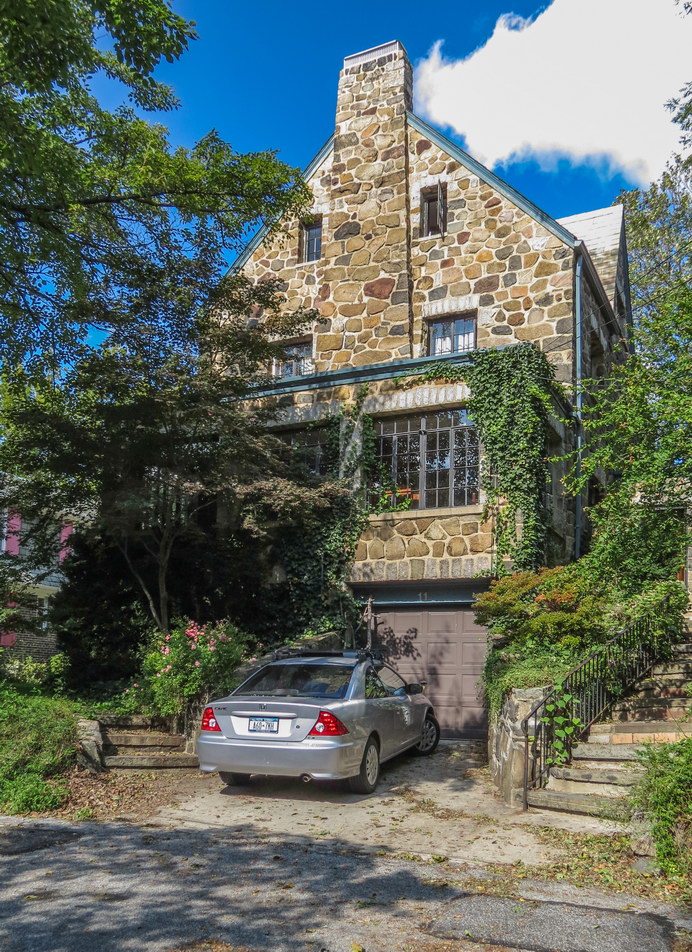
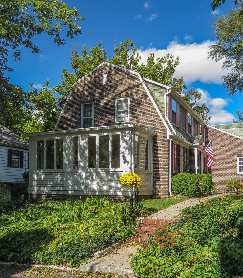
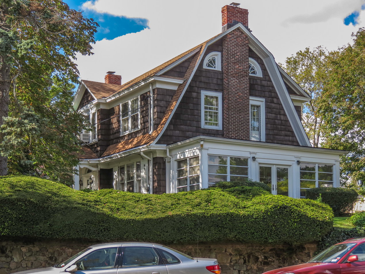
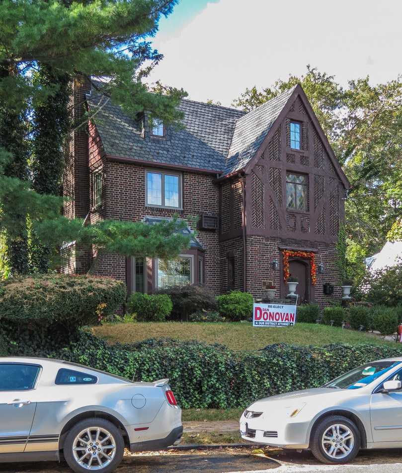
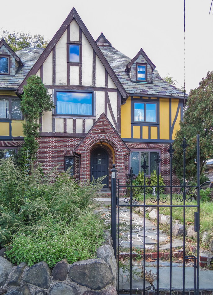
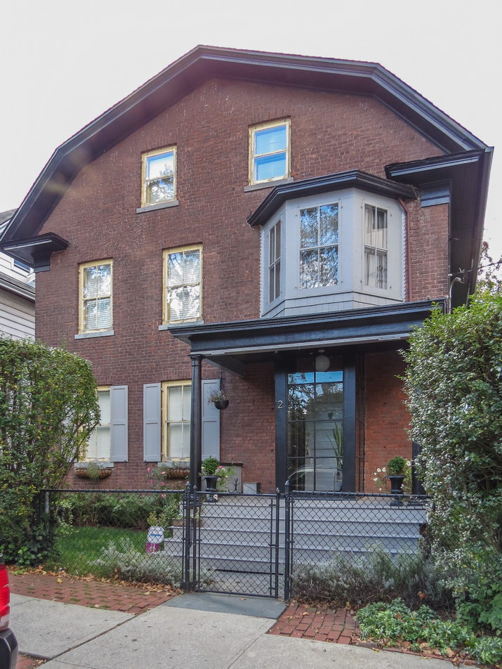
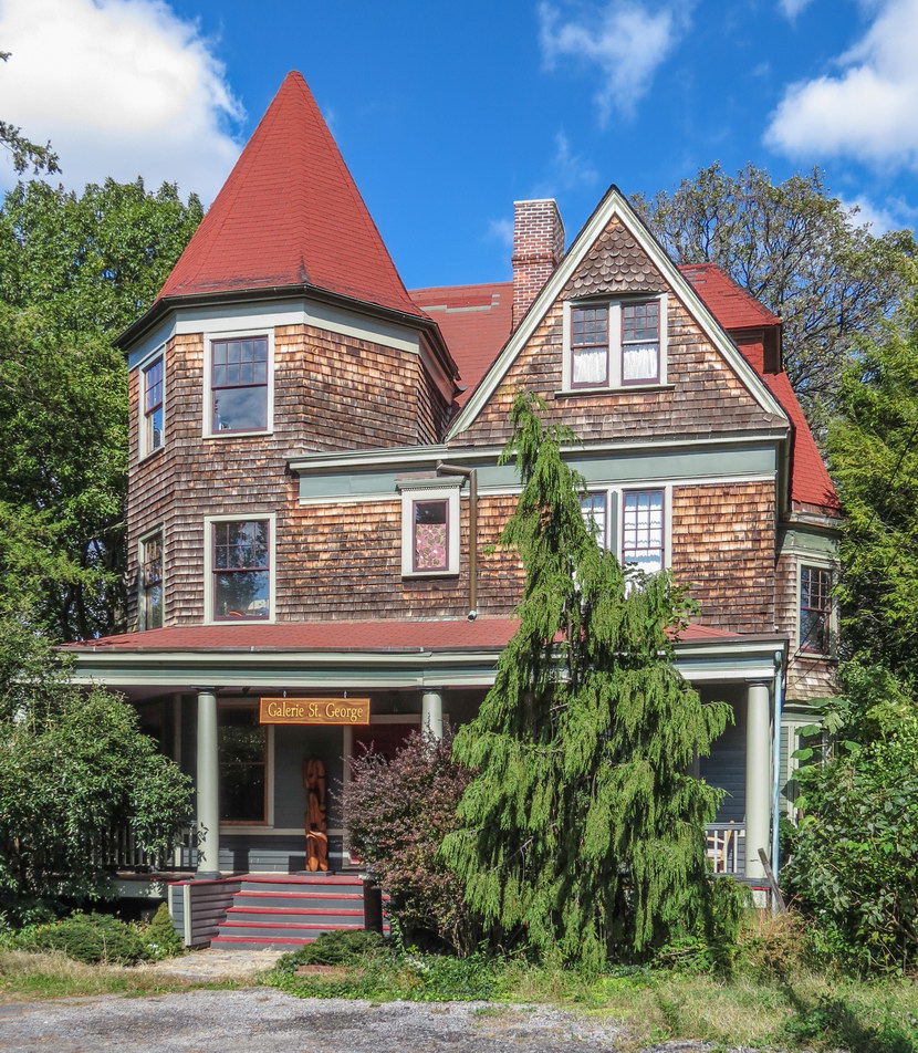
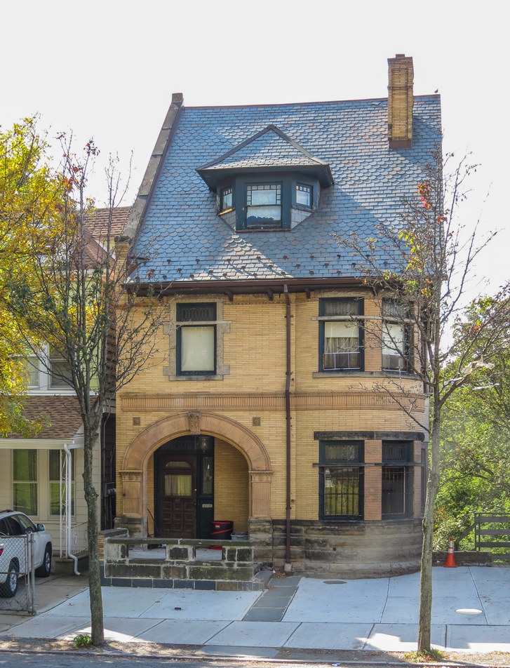
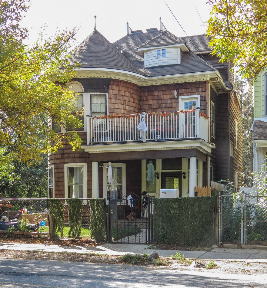
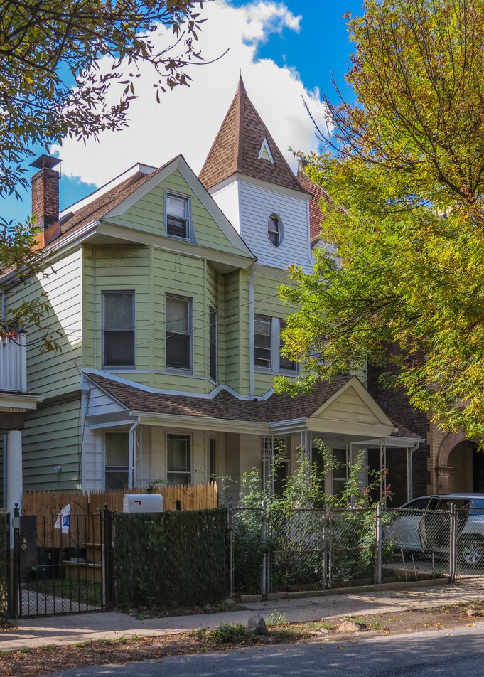
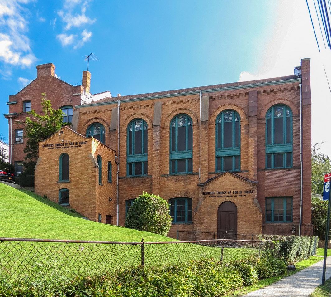
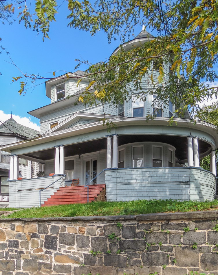
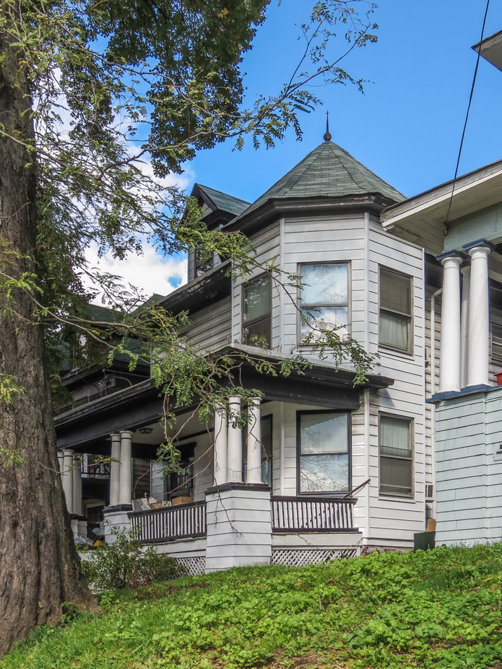
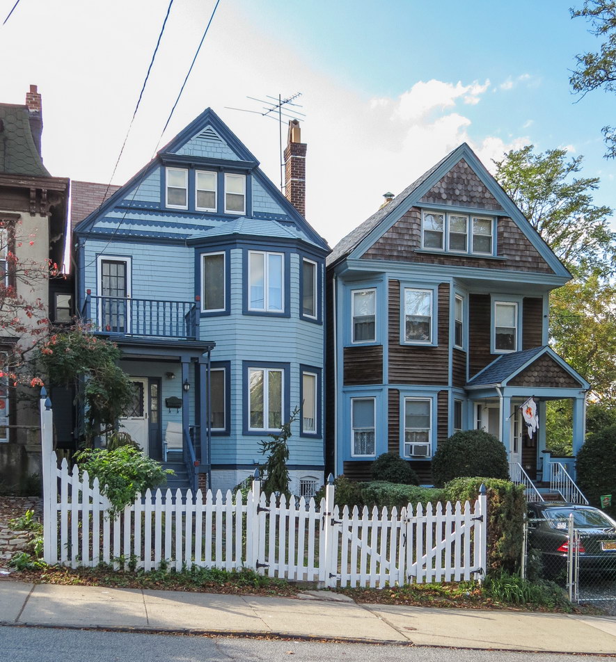
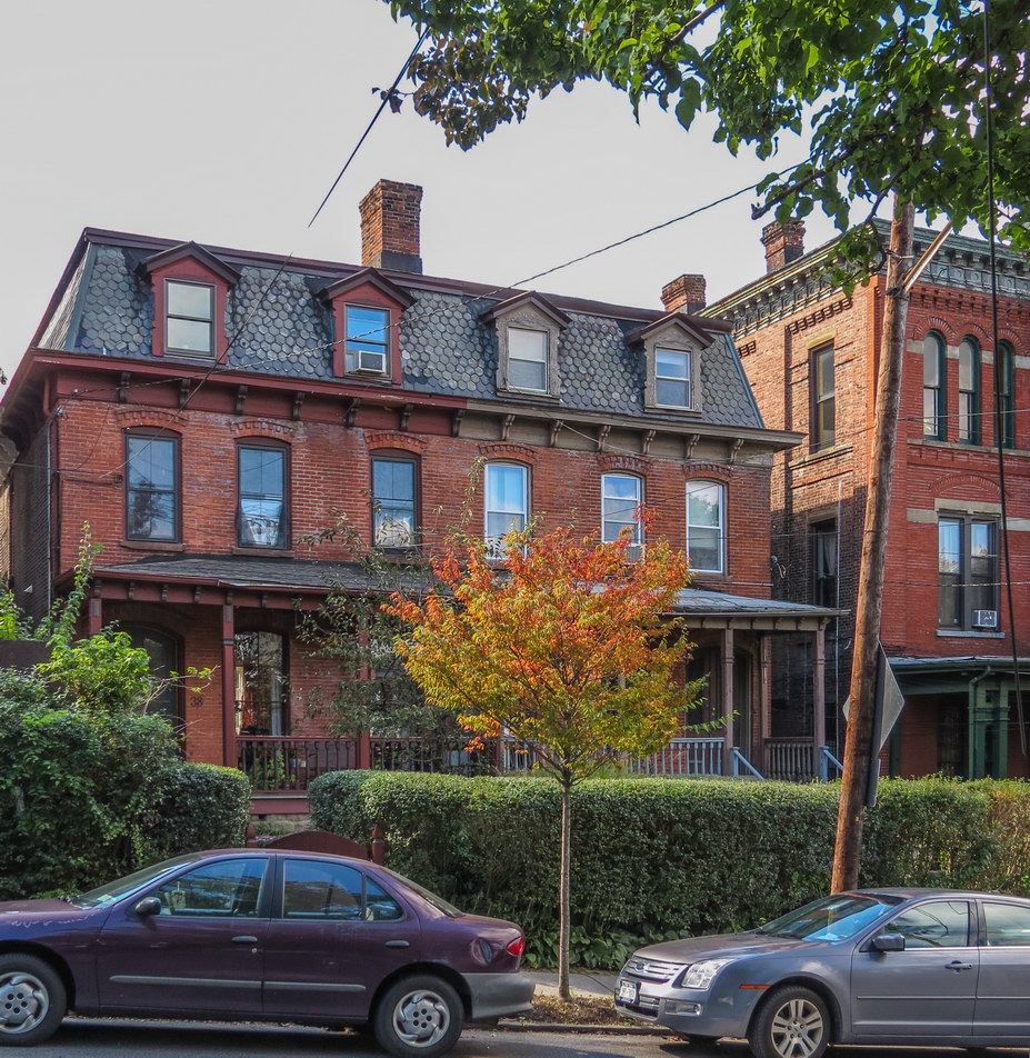
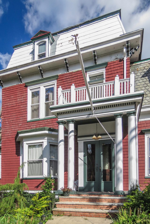
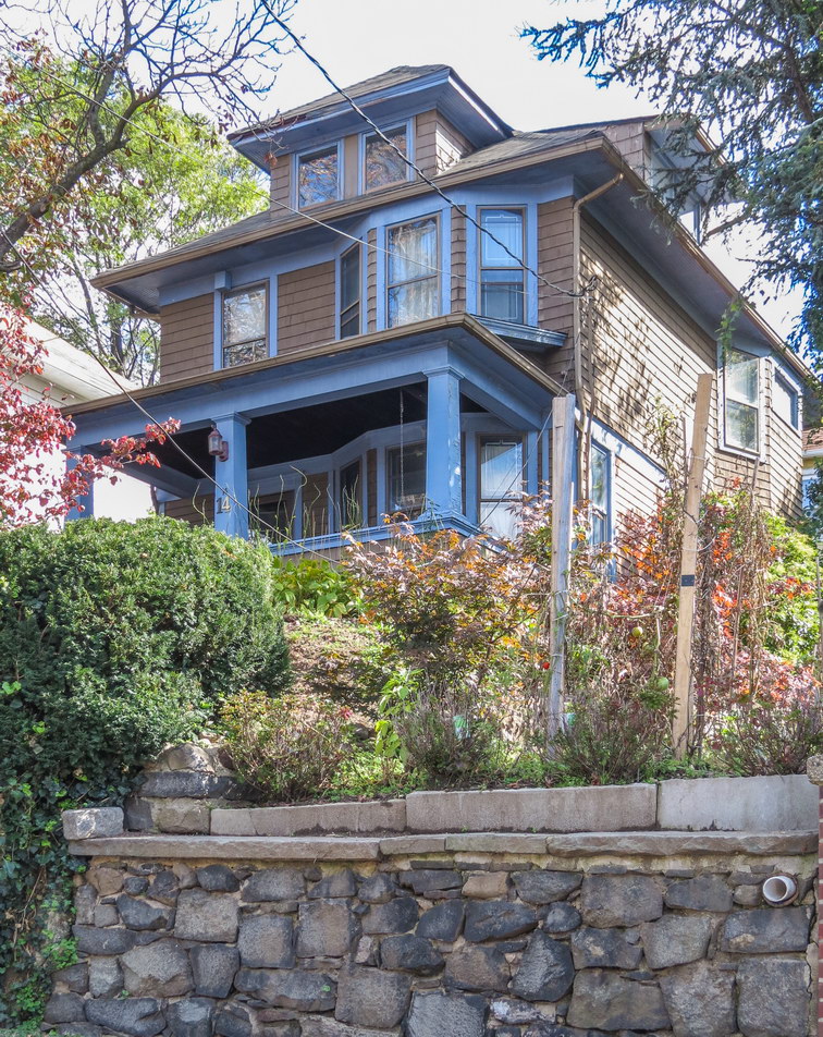
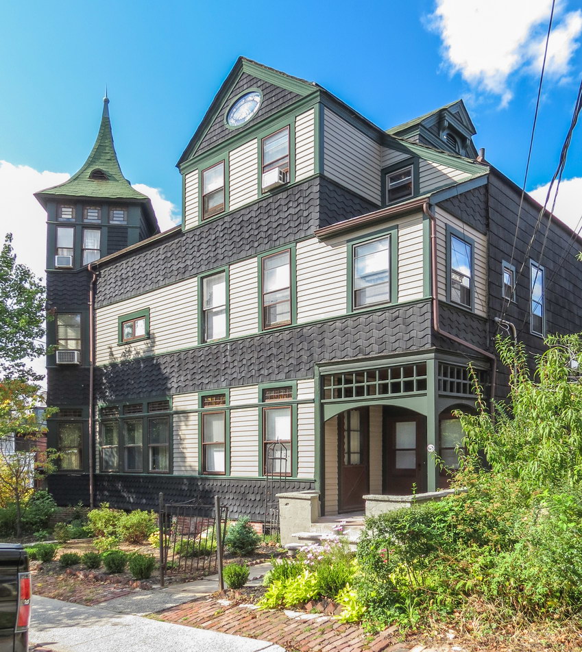
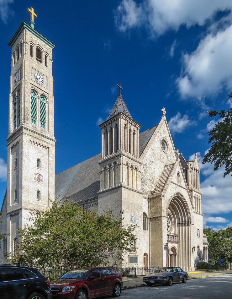
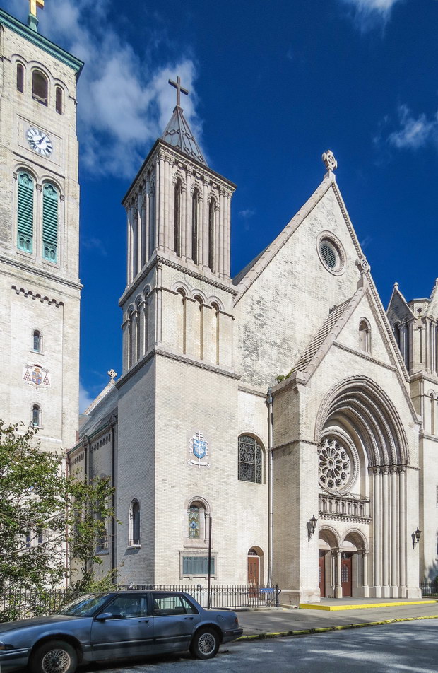
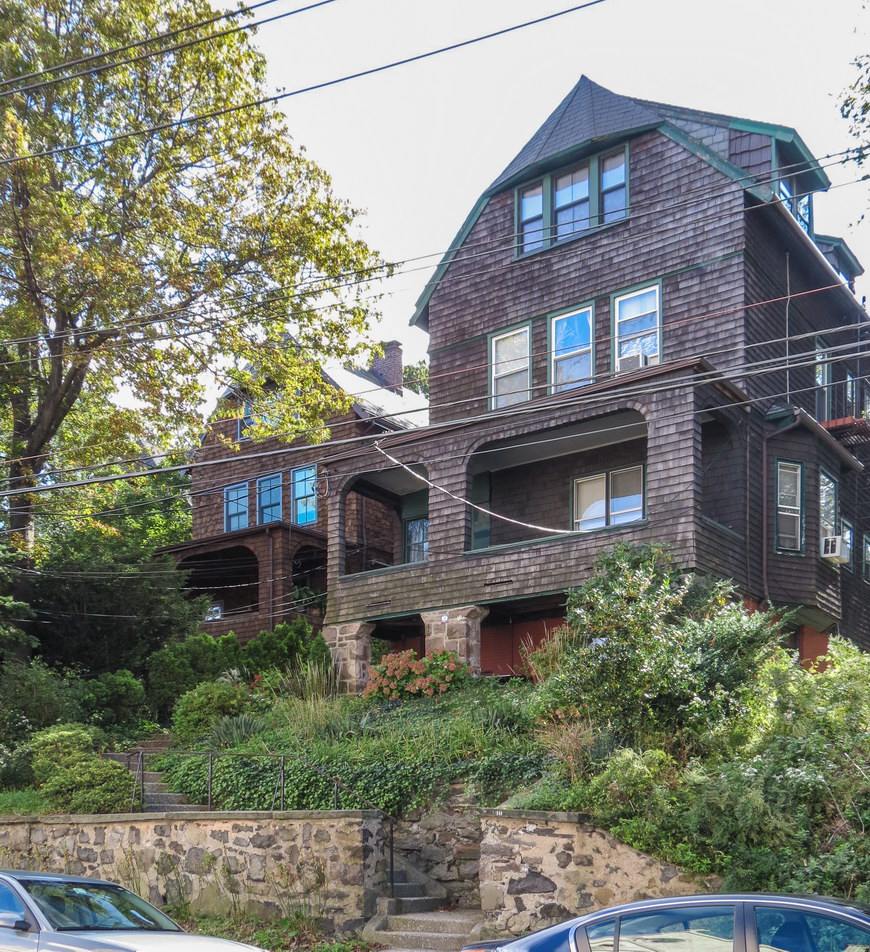
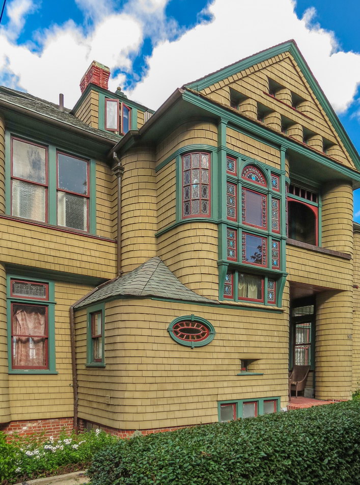
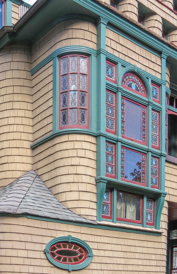
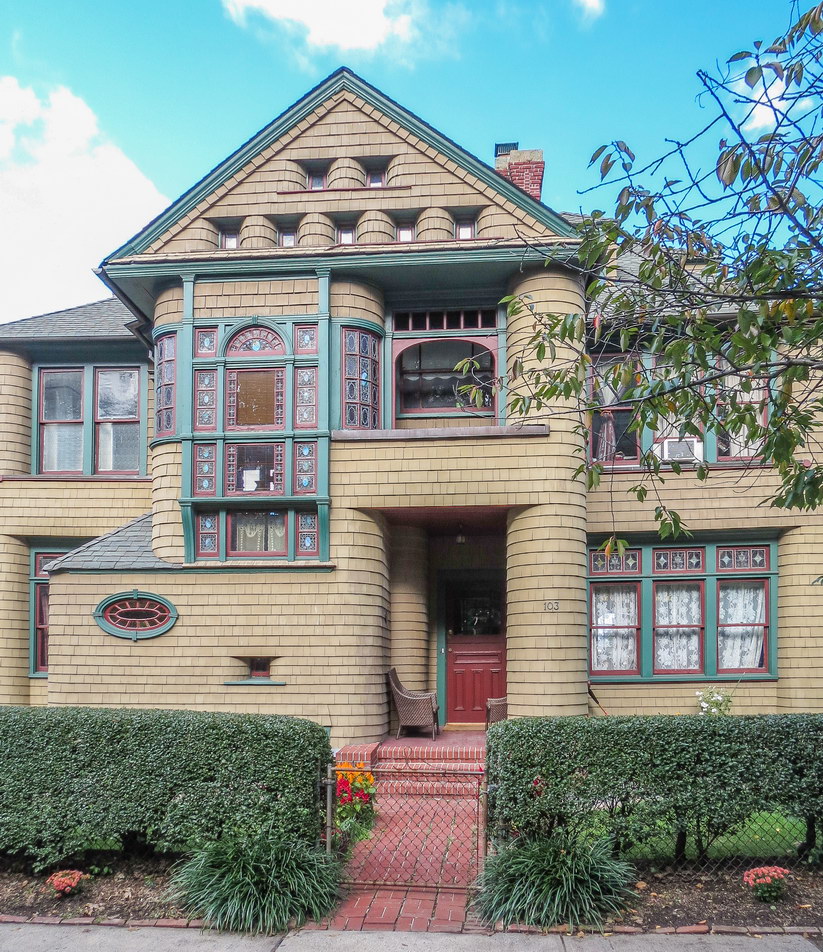
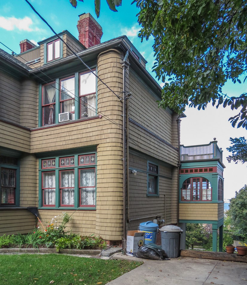
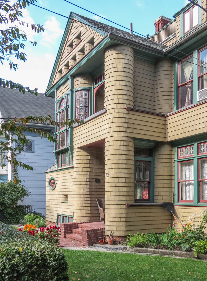
While the working class aspirations of the Russell Sage Foundation have slipped away, the architectural vision, at least, persists. Forest Hills Gardens is beautiful.
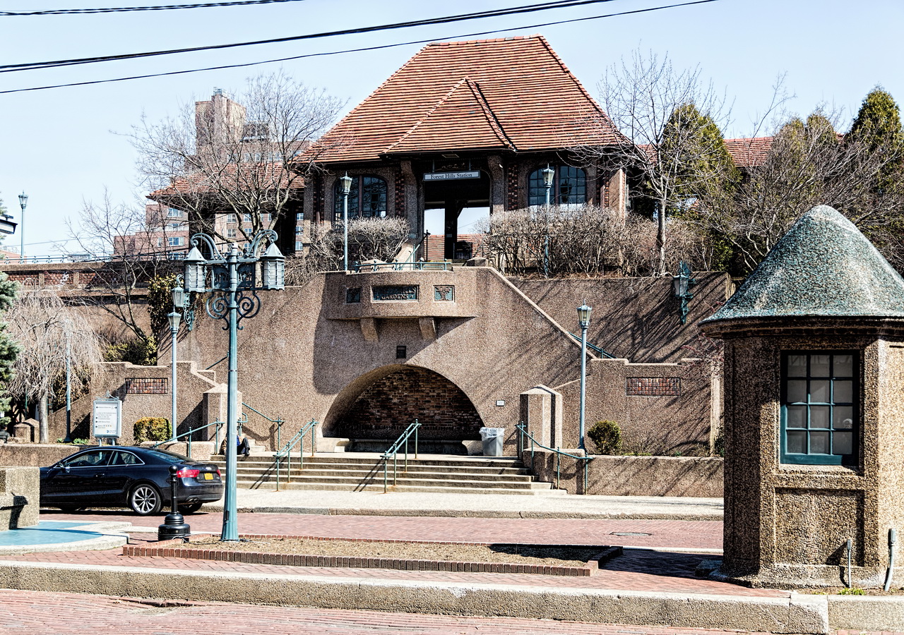
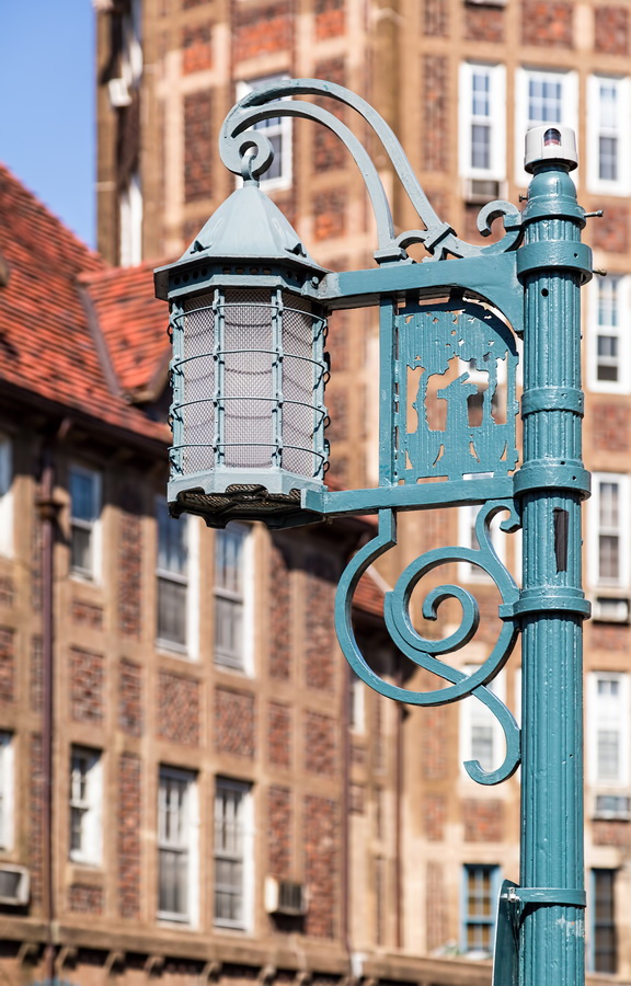
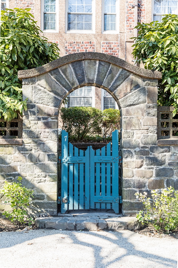
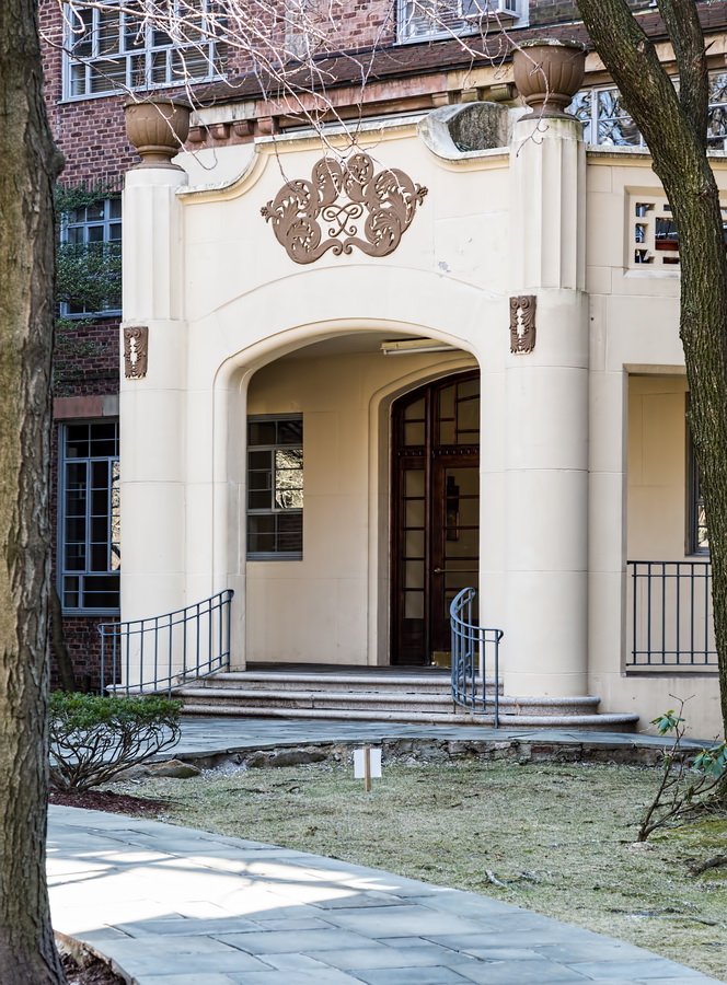
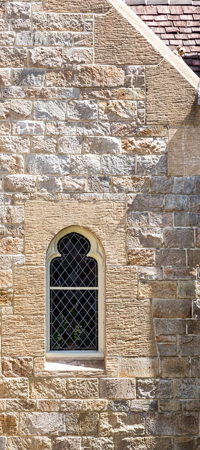
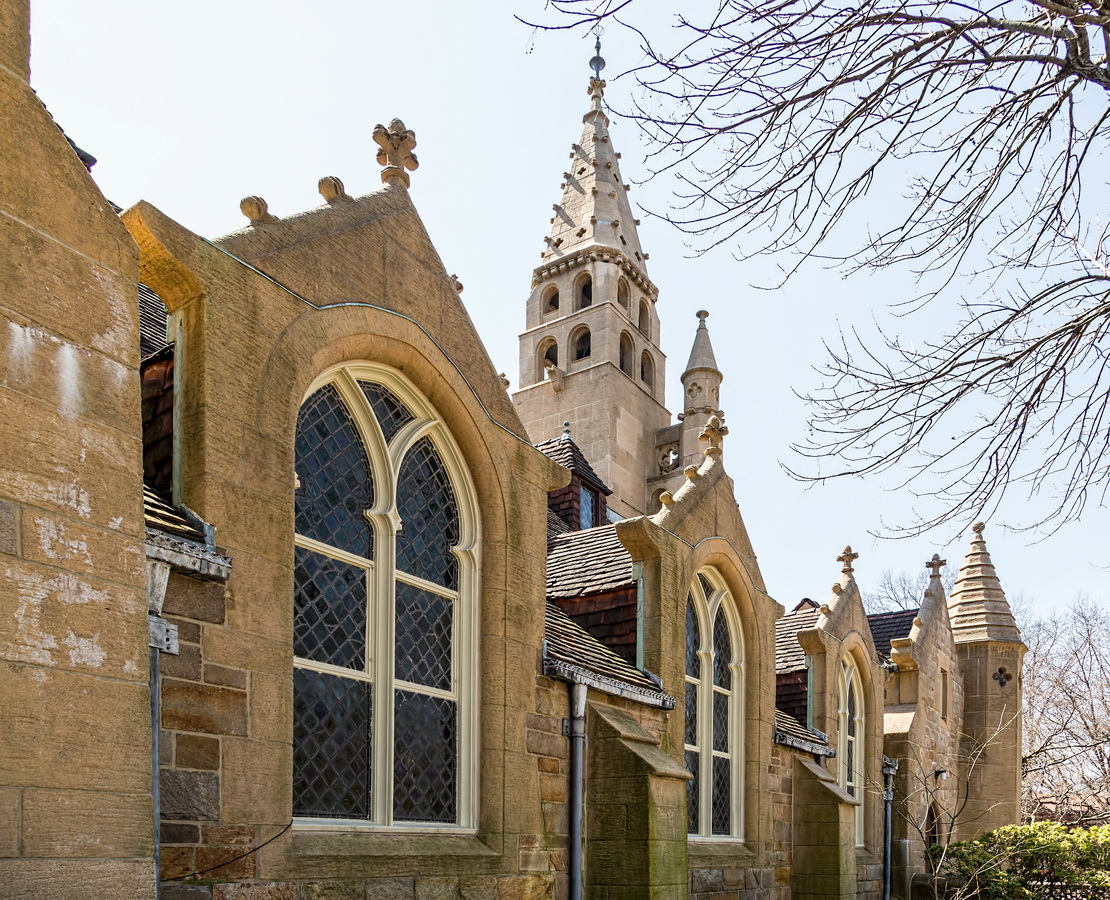
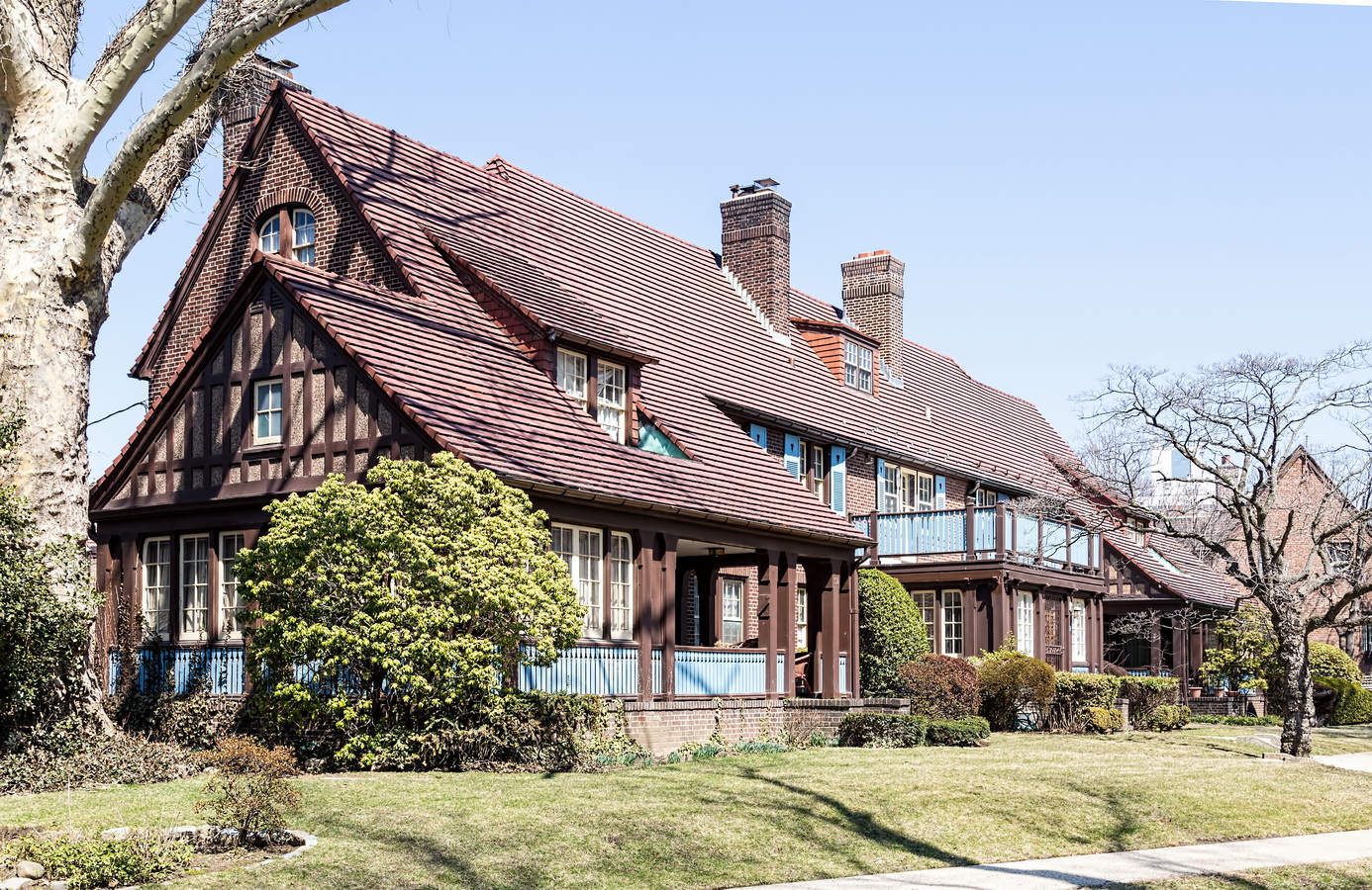
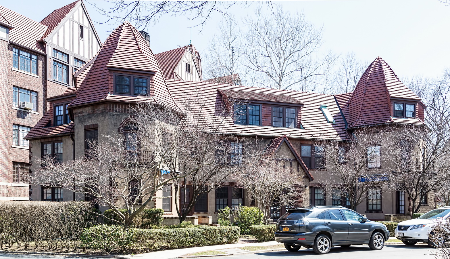
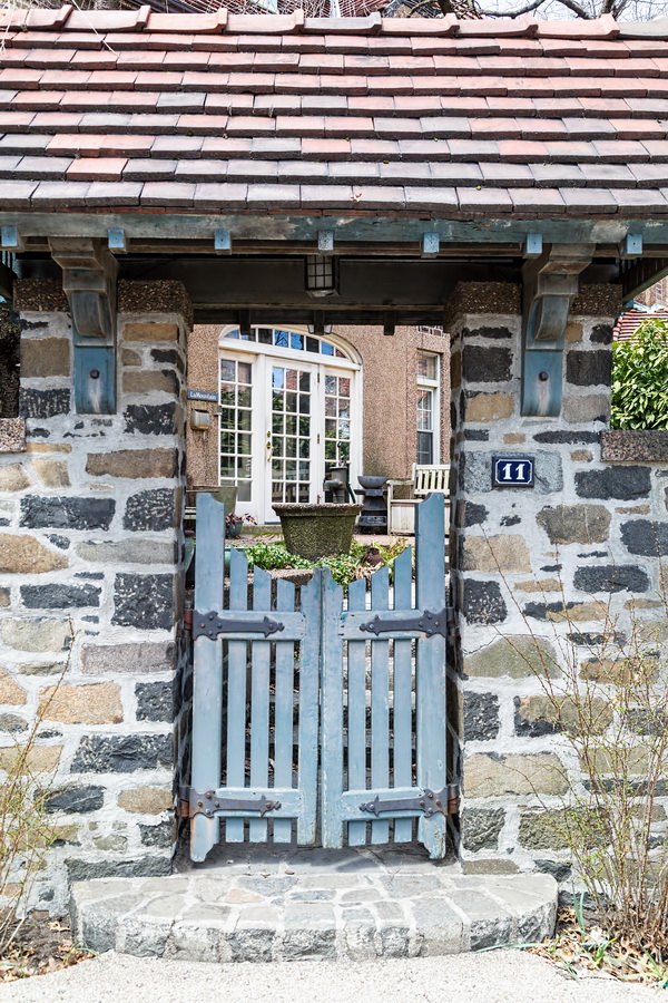
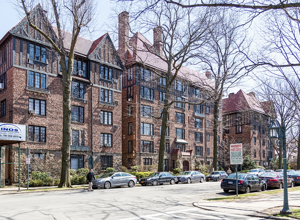
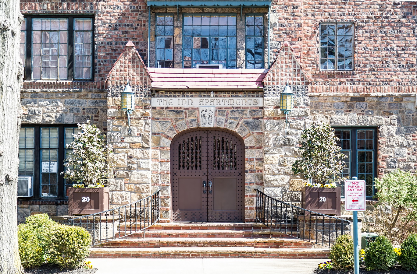
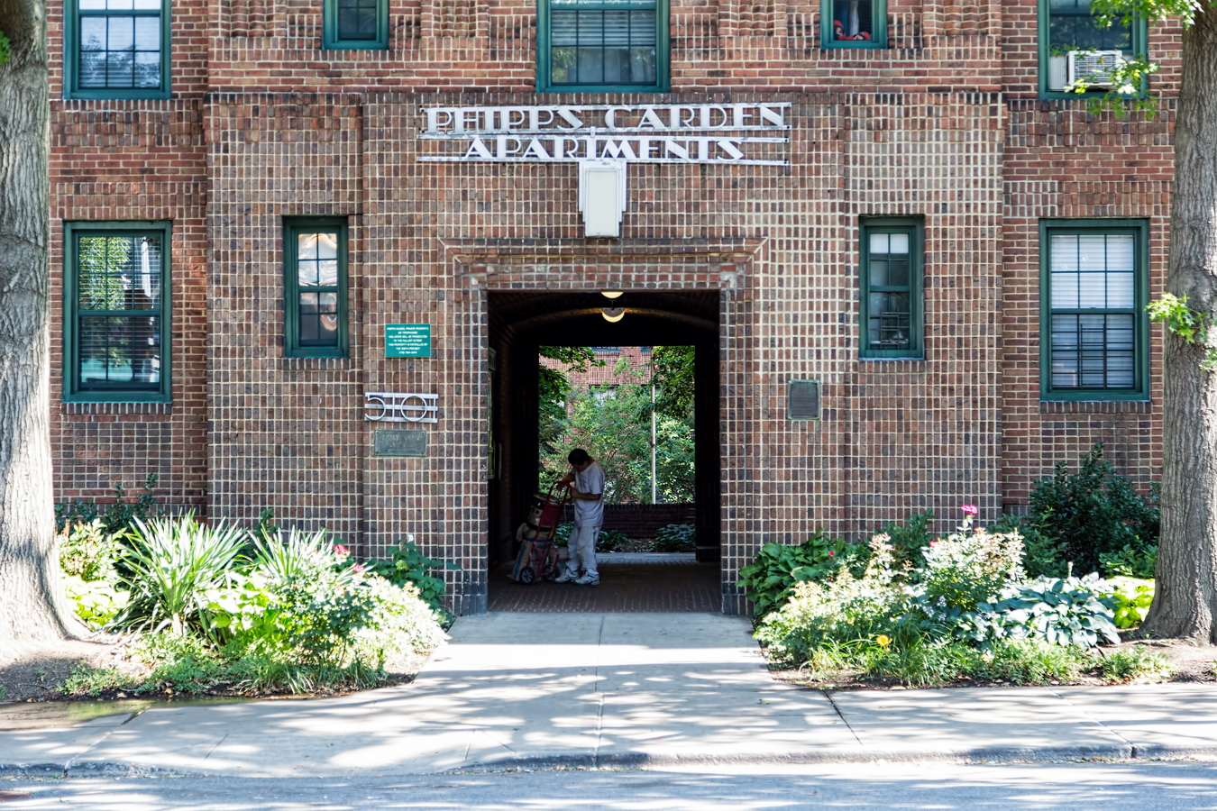
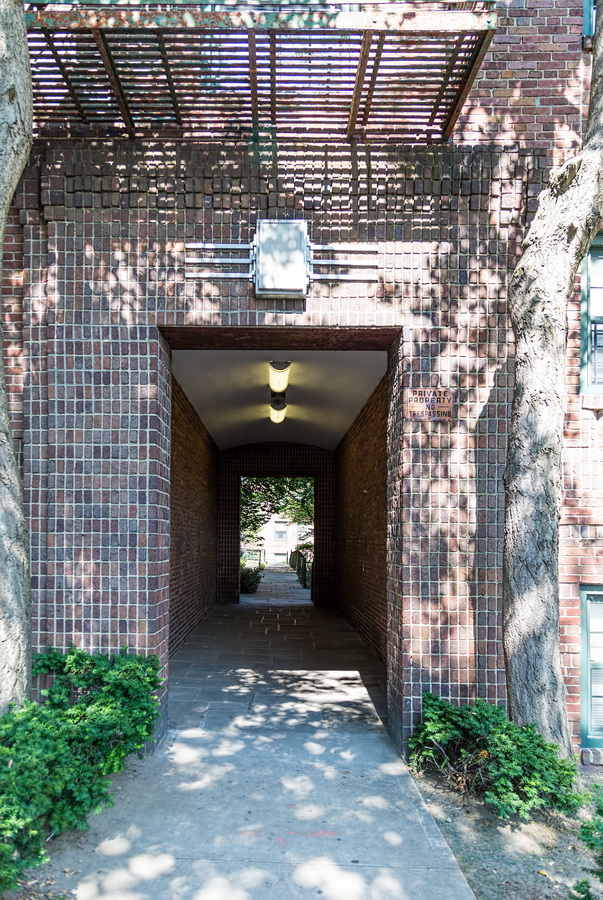
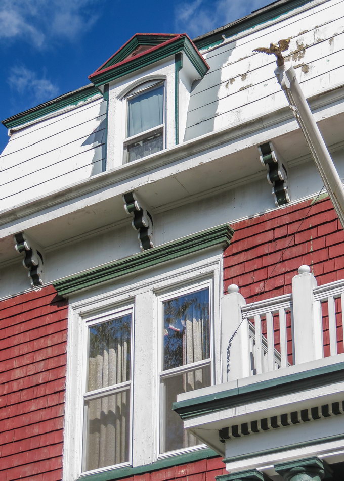
Some 800 houses and 11 apartment buildings are precisely laid out on what is now 175 acres, following architectural standards set by Atterbury and landscape architect Frederick Law Olmsted, Jr. To this day, Forest Hills Gardens Corporation enforces those architectural standards – right down to the paint colors that homeowners are allowed to use – to preserve the residential, garden community atmosphere.
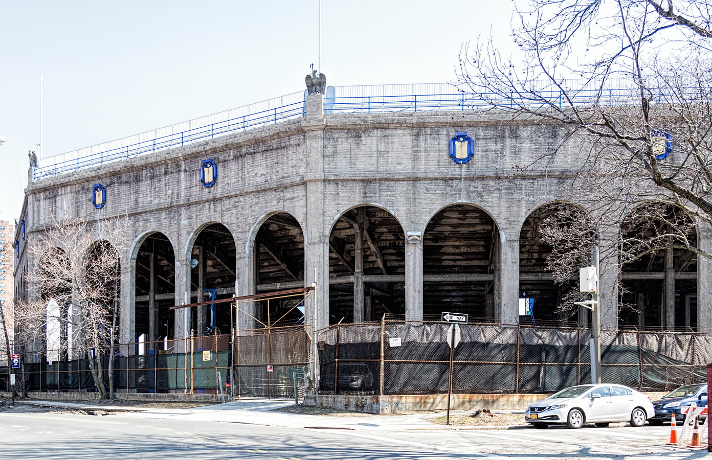
The West Side Tennis Club moved to Forest Hills in 1913, but became a victim of its own success. The Forest Hills Tennis Stadium drew so many tennis fans (and later, concert-goers) that it became a persona non grata because the crowds brought more traffic and trash than prestige. Closed for 20 years, Forest Hills Stadium is trying to make a comeback as a concert venue.
(Also see Forest Hills Inn, one of the apartment buildings – originally a hotel – located on Station Square.)
Forest Hills Gardens Vital Statistics
- Location: Forest Hills
- Year completed: 1909-1960s
- Architect: Grosvenor Atterbury
- Landscape Architect: Frederick Law Olmsted, Jr.
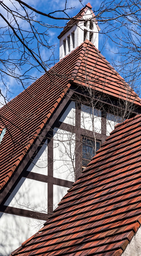
- Style: English Garden, Tudor, Georgian
Forest Hills Gardens Recommended Reading
- Wikipedia entry
- Wikimapia entry
- Open Street Map
- The New York Times Forest Hills Gardens (narrated slide show)
- The New York Times The Past Is Present (April 19, 2013)
- The New York Times Real Estate | Forest Hills Gardens, Queens (June 4, 2010)
- Rego-Forest Preservation Council website
- Forgotten New York blog
- Forest Hills Gardens Corporation website
- Forest Hills Gardens Architectural Guidelines (pdf)
- Forest Hills Club celebrity tour
- 6sqft feature
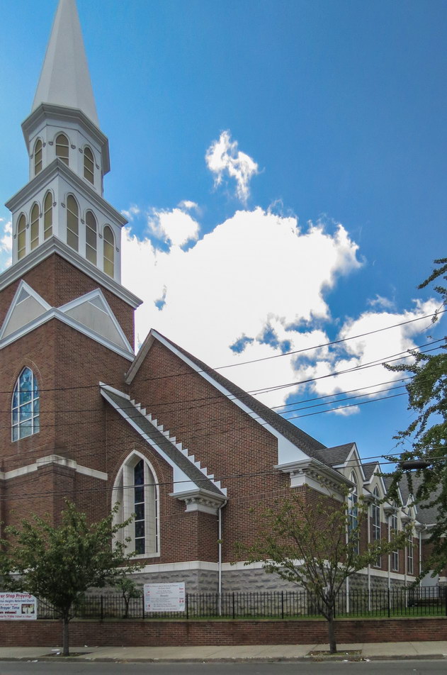
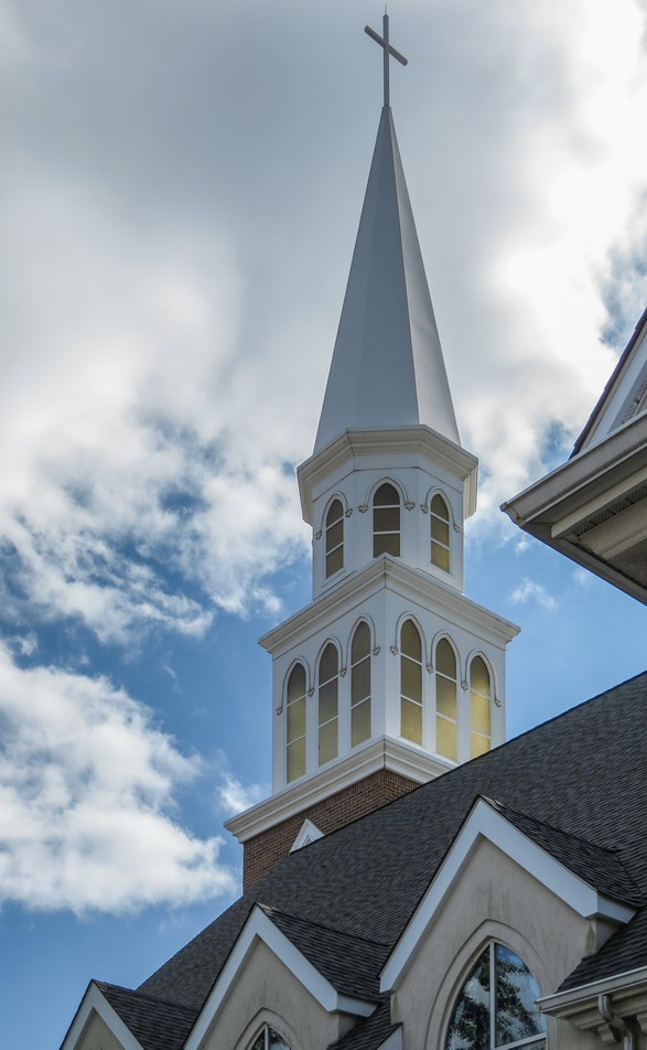
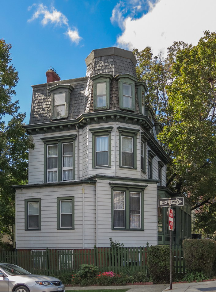
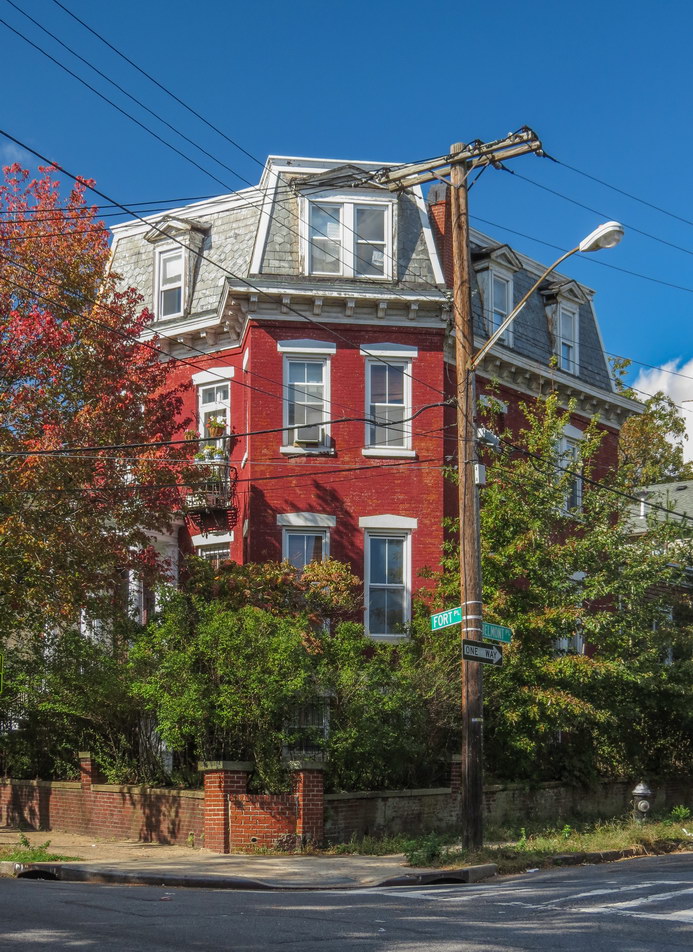
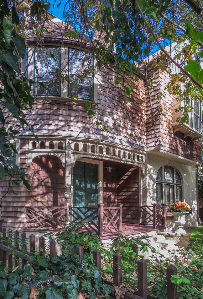
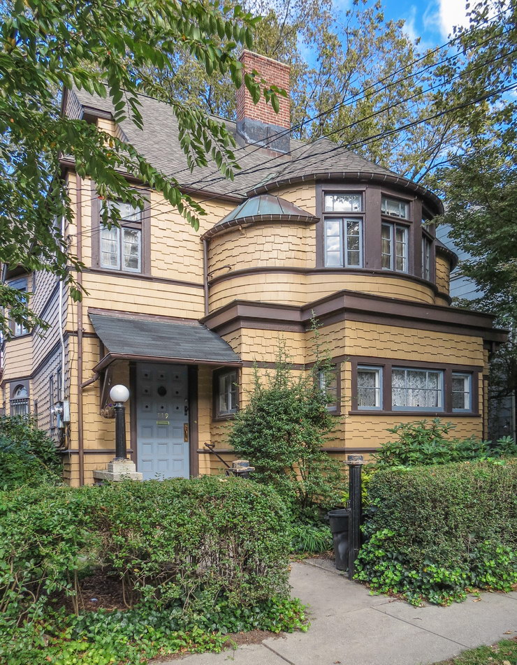
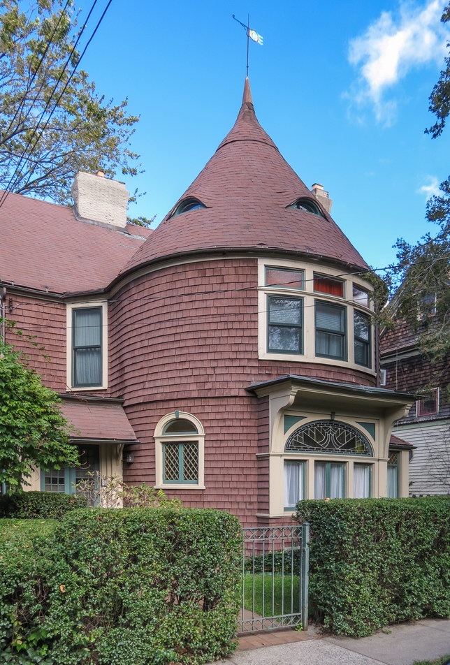
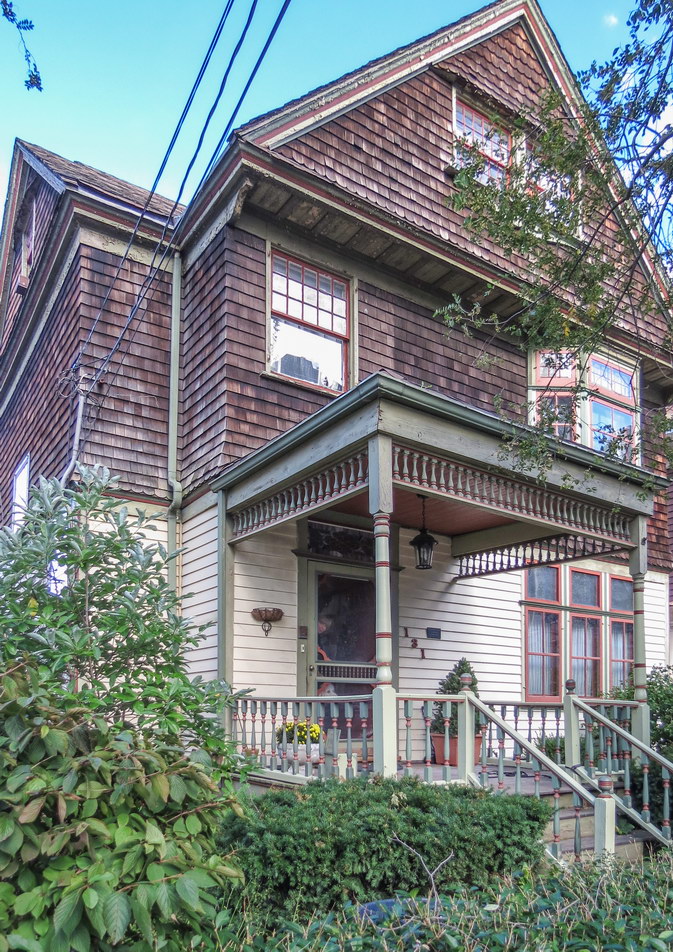


![Western Queens: Q001 [] Western Queens: Q001 []](https://www.newyorkitecture.com/wp-content/gallery/western-queens/Q001.jpg)
![Western Queens: Q002 [] Western Queens: Q002 []](https://www.newyorkitecture.com/wp-content/gallery/western-queens/Q002.jpg)
![Western Queens: Q003 [] Western Queens: Q003 []](https://www.newyorkitecture.com/wp-content/gallery/western-queens/Q003.jpg)
![Western Queens: Q004 [] Western Queens: Q004 []](https://www.newyorkitecture.com/wp-content/gallery/western-queens/Q004.jpg)
![Western Queens: Q005 [] Western Queens: Q005 []](https://www.newyorkitecture.com/wp-content/gallery/western-queens/Q005.jpg)
![Western Queens: Q006 [] Western Queens: Q006 []](https://www.newyorkitecture.com/wp-content/gallery/western-queens/Q006.jpg)
![Western Queens: Q007 [] Western Queens: Q007 []](https://www.newyorkitecture.com/wp-content/gallery/western-queens/Q007.jpg)
![Western Queens: Q007r [] Western Queens: Q007r []](https://www.newyorkitecture.com/wp-content/gallery/western-queens/Q007r.jpg)
![Western Queens: Q008 [] Western Queens: Q008 []](https://www.newyorkitecture.com/wp-content/gallery/western-queens/Q008.jpg)
![Western Queens: Q009 [] Western Queens: Q009 []](https://www.newyorkitecture.com/wp-content/gallery/western-queens/Q009.jpg)
![Western Queens: Q010 [] Western Queens: Q010 []](https://www.newyorkitecture.com/wp-content/gallery/western-queens/Q010.jpg)
![Western Queens: Q011 [] Western Queens: Q011 []](https://www.newyorkitecture.com/wp-content/gallery/western-queens/Q011.jpg)
![Western Queens: Q012 [] Western Queens: Q012 []](https://www.newyorkitecture.com/wp-content/gallery/western-queens/Q012.jpg)
![Western Queens: Q013 [] Western Queens: Q013 []](https://www.newyorkitecture.com/wp-content/gallery/western-queens/Q013.jpg)
![Western Queens: Q014 [] Western Queens: Q014 []](https://www.newyorkitecture.com/wp-content/gallery/western-queens/Q014.jpg)
![Western Queens: Q015 [] Western Queens: Q015 []](https://www.newyorkitecture.com/wp-content/gallery/western-queens/Q015.jpg)
![Western Queens: Q016 [] Western Queens: Q016 []](https://www.newyorkitecture.com/wp-content/gallery/western-queens/Q016.jpg)
![Western Queens: Q017 [] Western Queens: Q017 []](https://www.newyorkitecture.com/wp-content/gallery/western-queens/Q017.jpg)
![Western Queens: Q018 [] Western Queens: Q018 []](https://www.newyorkitecture.com/wp-content/gallery/western-queens/Q018.jpg)
![Western Queens: Q019 [] Western Queens: Q019 []](https://www.newyorkitecture.com/wp-content/gallery/western-queens/Q019.jpg)
![Western Queens: Q020 [] Western Queens: Q020 []](https://www.newyorkitecture.com/wp-content/gallery/western-queens/Q020.jpg)
![Western Queens: Q021 [] Western Queens: Q021 []](https://www.newyorkitecture.com/wp-content/gallery/western-queens/Q021.jpg)
![Western Queens: Q022 [] Western Queens: Q022 []](https://www.newyorkitecture.com/wp-content/gallery/western-queens/Q022.jpg)
![Western Queens: Q023 [] Western Queens: Q023 []](https://www.newyorkitecture.com/wp-content/gallery/western-queens/Q023.jpg)
![Western Queens: Q024 [] Western Queens: Q024 []](https://www.newyorkitecture.com/wp-content/gallery/western-queens/Q024.jpg)
![Western Queens: Q025 [] Western Queens: Q025 []](https://www.newyorkitecture.com/wp-content/gallery/western-queens/Q025.jpg)
![Western Queens: Q026 [] Western Queens: Q026 []](https://www.newyorkitecture.com/wp-content/gallery/western-queens/Q026.jpg)
![Western Queens: Q027 [] Western Queens: Q027 []](https://www.newyorkitecture.com/wp-content/gallery/western-queens/Q027.jpg)
![Western Queens: Q028 [] Western Queens: Q028 []](https://www.newyorkitecture.com/wp-content/gallery/western-queens/Q028.jpg)
![Western Queens: Q029 [] Western Queens: Q029 []](https://www.newyorkitecture.com/wp-content/gallery/western-queens/Q029.jpg)
![Western Queens: Q030 [] Western Queens: Q030 []](https://www.newyorkitecture.com/wp-content/gallery/western-queens/Q030.jpg)
![Western Queens: Q031 [] Western Queens: Q031 []](https://www.newyorkitecture.com/wp-content/gallery/western-queens/Q031.jpg)
![Western Queens: Q032 [] Western Queens: Q032 []](https://www.newyorkitecture.com/wp-content/gallery/western-queens/Q032.jpg)
![Western Queens: Q033 [] Western Queens: Q033 []](https://www.newyorkitecture.com/wp-content/gallery/western-queens/Q033.jpg)
![Western Queens: Q034 [] Western Queens: Q034 []](https://www.newyorkitecture.com/wp-content/gallery/western-queens/Q034.jpg)
![Western Queens: Q035 [] Western Queens: Q035 []](https://www.newyorkitecture.com/wp-content/gallery/western-queens/Q035.jpg)
![Western Queens: Q036 [] Western Queens: Q036 []](https://www.newyorkitecture.com/wp-content/gallery/western-queens/Q036.jpg)
![Western Queens: Q037 [] Western Queens: Q037 []](https://www.newyorkitecture.com/wp-content/gallery/western-queens/Q037.jpg)
![Western Queens: Q038 [] Western Queens: Q038 []](https://www.newyorkitecture.com/wp-content/gallery/western-queens/Q038.jpg)
![Western Queens: Q039 [] Western Queens: Q039 []](https://www.newyorkitecture.com/wp-content/gallery/western-queens/Q039.jpg)
![Western Queens: Q040 [] Western Queens: Q040 []](https://www.newyorkitecture.com/wp-content/gallery/western-queens/Q040.jpg)
![Western Queens: Q041 [] Western Queens: Q041 []](https://www.newyorkitecture.com/wp-content/gallery/western-queens/Q041.jpg)
![Western Queens: Q042 [] Western Queens: Q042 []](https://www.newyorkitecture.com/wp-content/gallery/western-queens/Q042.jpg)
![Western Queens: Q043 [] Western Queens: Q043 []](https://www.newyorkitecture.com/wp-content/gallery/western-queens/Q043.jpg)
![Western Queens: Q044 [] Western Queens: Q044 []](https://www.newyorkitecture.com/wp-content/gallery/western-queens/Q044.jpg)
![Central Park Reflections: CP13 [] Central Park Reflections: CP13 []](https://www.newyorkitecture.com/wp-content/gallery/central-park-reflections/CP13.jpg)
![Central Park Reflections: CP24 [] Central Park Reflections: CP24 []](https://www.newyorkitecture.com/wp-content/gallery/central-park-reflections/CP24.jpg)
![Central Park Reflections: CP23 [] Central Park Reflections: CP23 []](https://www.newyorkitecture.com/wp-content/gallery/central-park-reflections/CP23.jpg)
![Central Park Reflections: CP22 [] Central Park Reflections: CP22 []](https://www.newyorkitecture.com/wp-content/gallery/central-park-reflections/CP22.jpg)
![Central Park Reflections: CP21 [] Central Park Reflections: CP21 []](https://www.newyorkitecture.com/wp-content/gallery/central-park-reflections/CP21.jpg)
![Central Park Reflections: CP20 [] Central Park Reflections: CP20 []](https://www.newyorkitecture.com/wp-content/gallery/central-park-reflections/CP20.jpg)
![Central Park Reflections: CP19 [] Central Park Reflections: CP19 []](https://www.newyorkitecture.com/wp-content/gallery/central-park-reflections/CP19.jpg)
![Central Park Reflections: CP18 [] Central Park Reflections: CP18 []](https://www.newyorkitecture.com/wp-content/gallery/central-park-reflections/CP18.jpg)
![Central Park Reflections: CP17 [] Central Park Reflections: CP17 []](https://www.newyorkitecture.com/wp-content/gallery/central-park-reflections/CP17.jpg)
![Central Park Reflections: CP16 [] Central Park Reflections: CP16 []](https://www.newyorkitecture.com/wp-content/gallery/central-park-reflections/CP16.jpg)
![Central Park Reflections: CP15 [] Central Park Reflections: CP15 []](https://www.newyorkitecture.com/wp-content/gallery/central-park-reflections/CP15.jpg)
![Central Park Reflections: CP14 [] Central Park Reflections: CP14 []](https://www.newyorkitecture.com/wp-content/gallery/central-park-reflections/CP14.jpg)
![Central Park Reflections: CP01 [] Central Park Reflections: CP01 []](https://www.newyorkitecture.com/wp-content/gallery/central-park-reflections/CP01.jpg)
![Central Park Reflections: CP12 [] Central Park Reflections: CP12 []](https://www.newyorkitecture.com/wp-content/gallery/central-park-reflections/CP12.jpg)
![Central Park Reflections: CP11 [] Central Park Reflections: CP11 []](https://www.newyorkitecture.com/wp-content/gallery/central-park-reflections/CP11.jpg)
![Central Park Reflections: CP10 [] Central Park Reflections: CP10 []](https://www.newyorkitecture.com/wp-content/gallery/central-park-reflections/CP10.jpg)
![Central Park Reflections: CP09 [] Central Park Reflections: CP09 []](https://www.newyorkitecture.com/wp-content/gallery/central-park-reflections/CP09.jpg)
![Central Park Reflections: CP08 [] Central Park Reflections: CP08 []](https://www.newyorkitecture.com/wp-content/gallery/central-park-reflections/CP08.jpg)
![Central Park Reflections: CP07 [] Central Park Reflections: CP07 []](https://www.newyorkitecture.com/wp-content/gallery/central-park-reflections/CP07.jpg)
![Central Park Reflections: CP06 [] Central Park Reflections: CP06 []](https://www.newyorkitecture.com/wp-content/gallery/central-park-reflections/CP06.jpg)
![Central Park Reflections: CP05 [] Central Park Reflections: CP05 []](https://www.newyorkitecture.com/wp-content/gallery/central-park-reflections/CP05.jpg)
![Central Park Reflections: CP04 [] Central Park Reflections: CP04 []](https://www.newyorkitecture.com/wp-content/gallery/central-park-reflections/CP04.jpg)
![Central Park Reflections: CP03 [] Central Park Reflections: CP03 []](https://www.newyorkitecture.com/wp-content/gallery/central-park-reflections/CP03.jpg)
![Central Park Reflections: CP02 [] Central Park Reflections: CP02 []](https://www.newyorkitecture.com/wp-content/gallery/central-park-reflections/CP02.jpg)
![IMG_3118_19_20Adjust [3/7/2012 4:12:16 PM] IMG_3118_19_20Adjust [3/7/2012 4:12:16 PM]](https://www.newyorkitecture.com/wp-content/gallery/battery-park-city/img_3118_19_20adjust.jpg)